
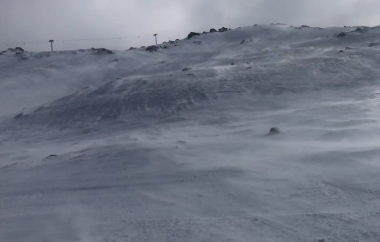
Blizzards are in the forecast for the high country of New South Wales and Victoria for the coming weekend, and in case you’re wondering, “blizzard” is actually a technical weather term in the Australian context.
On the BoM’s severe weather definition page, blizzard conditions are defined as “strong winds in conjunction with blowing or falling snow with an expected reduction in horizontal visibility to less than 200 metres”.
In short, it’s going to be wild out there in the Aussie alpine country, and indeed, it already is.
- Overnight, a gust of 91 km/h was reported at Thredbo Top Station, which is Australia’s highest weather station at an elevation of 1957m. Peak gusts of up to 125 km/h are expected from Friday night into Saturday.
- And here’s a statistic to chill your bones: At 7:30 am on Friday, Thredbo Top Station was –6.2°C with winds gusting up to 72 km/h. The wind and the air temperature combined to make an apparent or “feels like” temp of –20.9°C!
For snow lovers, there’s no avoiding the fact that conditions will be highly unpleasant for skiing or snowboarding at the resorts in the next 48 hours or so, with many lifts expected to be closed or on wind-hold. It will also be extremely dangerous in the back country, with travel beyond the resort boundaries strongly discouraged.
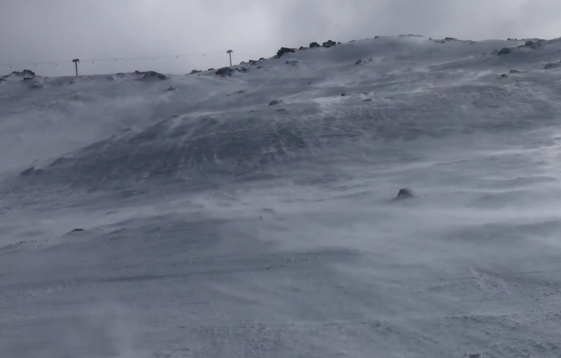
Image: Wild winds and blowing snow on the upper slopes of Thredbo ahead of a snowfall.
The positive news is that widespread snowfalls are likely. Indeed, this weekend should see the heaviest snowfalls of the season to date, with the white stuff really coming down on Friday night into Saturday.
Between 30 and 60 centimetres of snow should accumulate by Monday morning at the major Australian ski resorts, creating the best conditions of the season for anyone lucky enough to be heading down this week. Check our snow page for the latest forecasts, cams and more.
As the worst of the wild, wintry weather sets in during Friday and continues across southeastern Australia on Saturday, strong winds and cold, showery weather can be expected well beyond the mountains.
Severe Weather Warnings and/or Gale Warnings have already been issued for all southern states and the ACT. You’ll also find that word “blizzard” in the warnings for the alpine areas of Victoria and New South Wales, so please check our warnings page for the latest.
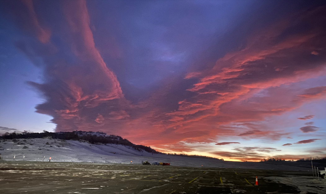
Image: Perisher Valley car park early on Friday morning, with heavy snowfalls still a few hours away but strong winds already set in. Source: Steve Smith.
Overall, this will not be a great weekend for snow sports, or to be travelling on the roads in the high country and many places beyond it.
But this is the sort of storm that will set up the snow season after a sluggish start. In addition to the heavy snowfalls, strong winds tend to blow snow that fills in gaps on the higher slopes where there are boulders and other obstacles, enabling more terrain beyond the snowmaking areas to open.
Hydropower
Using Opticast’s nowcasting and forecasting capabilities, you will have long-term outlook covering rainfall and extreme heat events out to 12 months. This can significantly improve your planning as you integrate the data with site-specific hydrological parameters.
With renewables making up more of Australia’s energy mix every year, we want to support your business to make informed critical decisions and improve your overall generation and safety. To find out more, please visit our contact page or email us at apac.sales@dtn.com.




