
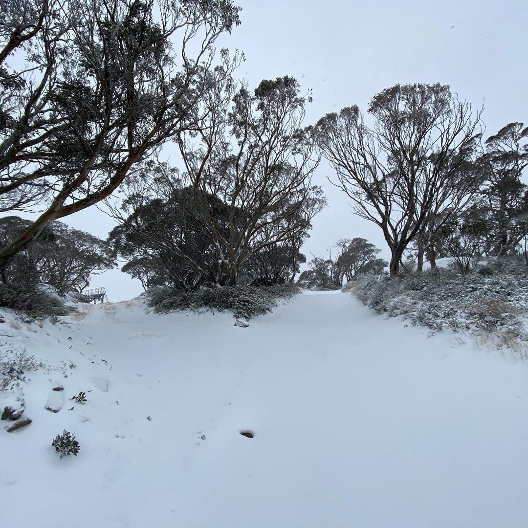
So here we are nearly at the end of Autumn and parts of southeastern Australia just saw a decent bout of snow on the weekend. But what does this cold snap mean for Hydro power in Australia’s Alps during winter and spring?
Let’s have a look at what to expect in the Australian Alps in the coming months.
— Outlooks and forecasts —
Before we start, it’s important to point out the difference between a weather forecast and seasonal outlook.
When we put together a long-range seasonal snow outlook, we are not looking at individual weather systems.
Instead, we are using broad-scale climate drivers to predict which weather patterns will most likely be dominant during the coming months. So instead of forecasting which days will see snow and how many centimetres (or metres) will fall in these events, we are predicting whether the Australian alps will see above or below average snow during the season as a whole.
— The forecasts —
Of course, no two Australian snow seasons are the same, and the difference between a boom and bust can come down to one or two big snow-bearing systems.
The outlook suggests that we should see near to above-average snow in the Australian alps this winter. Of course, this is great news for skiers and boarders, but hydro power across the Snowy Mountains and in Tasmania are forecast to have a good year also.
The healthy snow pack predicted this winter means it is likely we will see decent snow melt in spring, when temperatures begin to warm up again. This will lead to healthy hydro lake levels, with increased water capacity available to be used for our power source in the National Electricity Market (NEM).
In addition to this healthy snow pack, rainfall this spring is forecast to be near normal for the time of year. Spring rainfall helps melt the snow pack, which leads to larger runoff totals into the hydro lakes.
— The climate drivers behind our forecasts —
As we head through the middle of autumn on our descent into the colder months of winter, there are currently no strong climate drivers in play near Australia.
The La Niña pattern that influenced Australia’s weather during the last six months officially ended in late-March. This means the Pacific Ocean is currently in a neutral phase and it’s likely to remain this way until at least the end of winter.
On the other side of the country, the Indian Ocean Dipole (IOD) has also been in a neutral pattern all year. As a result, the Indian Ocean hasn’t played an abnormal role in determining Australia’s weather in recent months.
There are early signs that a negative phase of the IOD may emerge as we head into winter. While this climate driver is notoriously difficult to predict at this time of year, this shouldn’t be ignored. A negative IOD would increase the likelihood of above-average snow in southeastern Australia this winter.
The other main climate driver that influences Australian snowfall is the Southern Annular Mode (SAM). The SAM is an index that measures the north-south displacement of the westerly winds that flow between Australia and Antarctica.
When the SAM is in a negative phase, westerly winds and cold fronts are located further north than usual, which typically causes more cold outbreaks, and snow, in southern Australia. On the other hand, positive SAM phases can limit snow-bearing systems in Australia during winter.
Unfortunately, the SAM is much harder to predict at the seasonal scale compared to the other two climate drivers mentioned above. Most models suggest that the SAM will remain in a neutral phase into the back end of May, but this can only be predicted up to two weeks out.
As the season unfolds, we will be keeping a close eye on the horizon here at Weatherzone, with our 14-day snowfall forecasts and seasonal forecasting. For more information, please contact us at apac.sales@dtn.com.




