
One thing we haven’t seen so far this winter in Australia – and which we barely saw through the whole of last winter – is snow in areas beyond the alpine regions of NSW, Victoria and Tasmania.
But snow looks highly possible over a period of several days beginning early next week in places like:
- The Blue Mountains, just west of Sydney
- The Southern, Central and Northern Tablelands of New South Wales
- Elevated parts of the ACT, including relatively low hills on the fringe of Canberra and perhaps even parts of the city itself
- Elevated parts of Victoria outside the Victorian Alps
- Elevated parts of Tasmania below the mountainous areas
- And perhaps even in the Granite Belt of southern Queensland
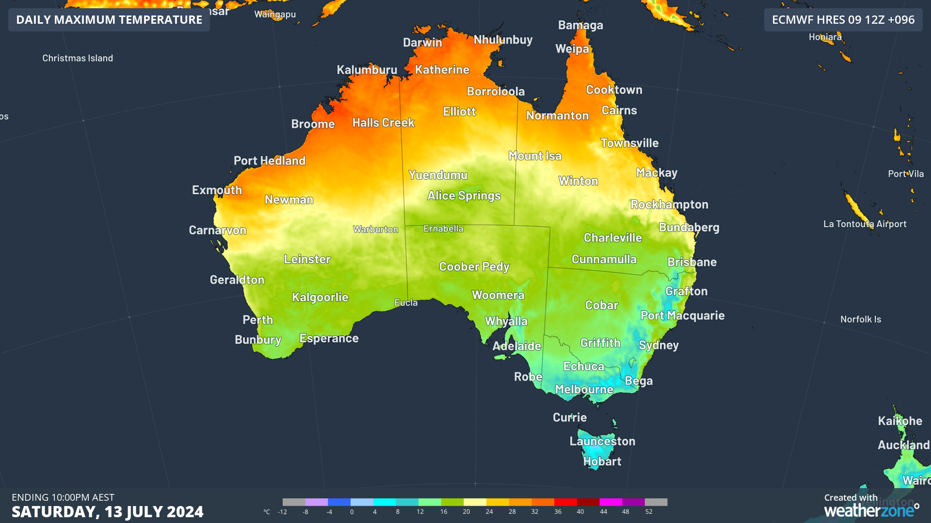
The cold air is set to reach southeastern Australia by Saturday, with single-digit maximums likely in all the aqua-blue areas on the map below.
But the coming weather will deliver more than just a day or two of chilly weather. A prolonged outbreak of frigid air with Antarctic origins will envelope southeastern Australia for most of next week from this weekend onwards.
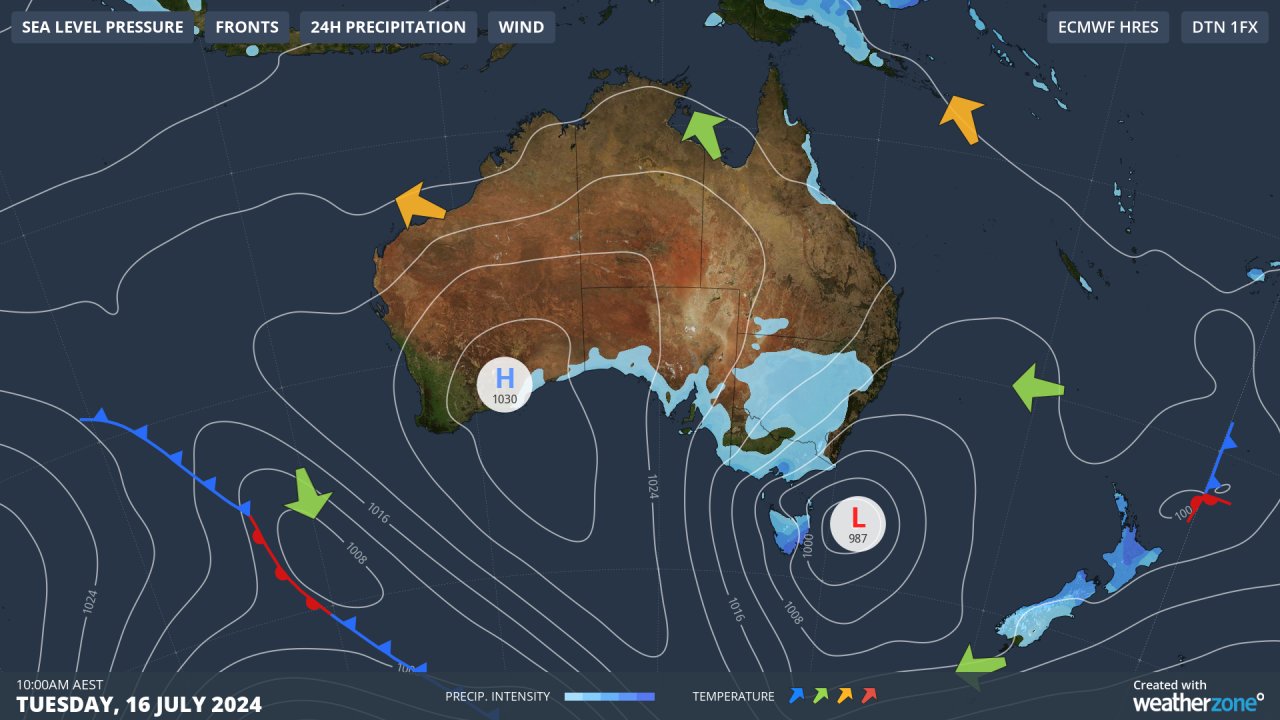
Wedged between a strong high pressure system centred over the Bight and a low in the Tasman Sea, this lingering, bitterly cold airmass will make it feel like someone left the fridge door open for several days.
It will be cold, even for July: that much we can guarantee. What remains uncertain at this stage is how much moisture will be associated with system, and when it will arrive.
Weatherzone meteorologist Felix Levesque says the NSW Central Tablelands could see snow flurries at higher levels around 12000m as early as Sunday night/Monday morning, with the possibility of snow increasing throughout Monday and Tuesday as more moisture arrives.
The snow level could drop below 1000m midweek as a new influx of moisture kicks in. Snow around midweek is also quite likely in the Barrington Tops just northwest of Newcastle, which rise to almost 1600m at their highest point.
The Northern Tablelands should also get their share, including the town of Guyra, which at 1330m is Australia’s highest town outside the alpine region.
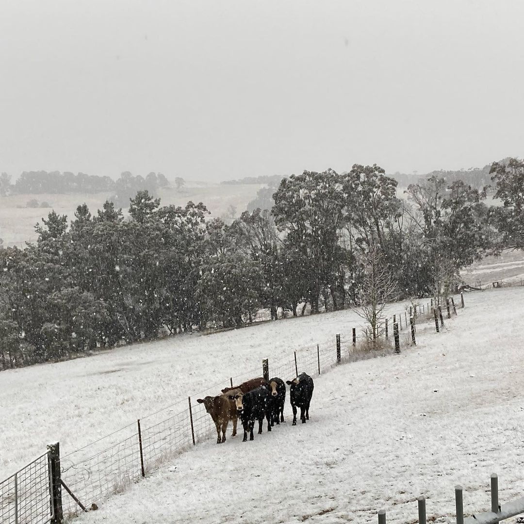
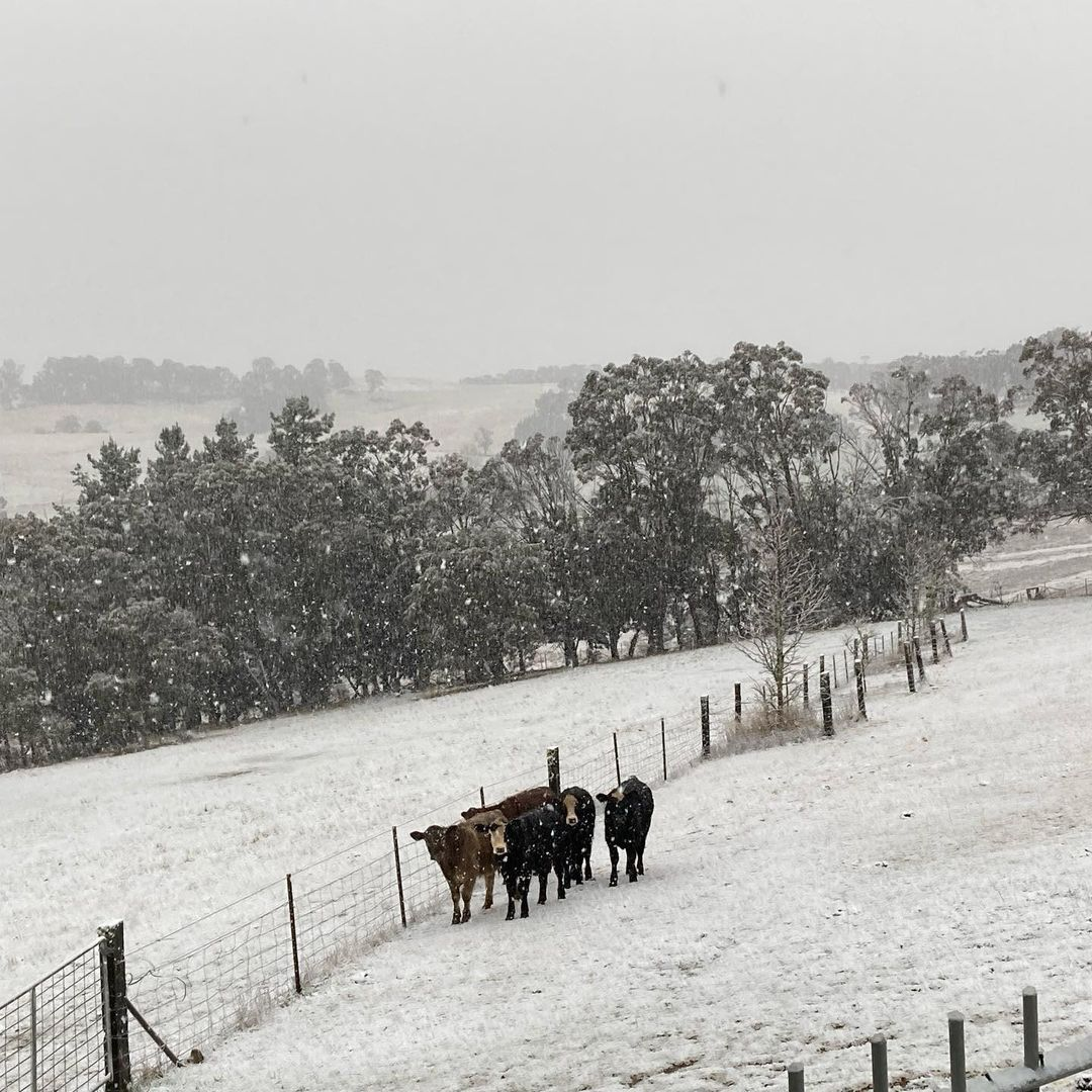
Image: Daisy and her friends were not particularly impressed with this 2021 snowfall near Oberon, on the NSW Central Tablelands. Source: @duckmaloi_river_truffles on Instagram.
Further south, the snow line on the mainland will drop to 600 or 700 metres by midweek. Most of Canberra lies at or just below 600 metres, so snow in the city itself is not out of the question.
Victoria will also see snowfalls at times in places beyond the mountains that rarely see a settled cover, while in Tasmania the snowline should be about 700 metres.
It’s not often with a winter cold outbreak that the snowline in Tasmania is similar to areas more than a thousand kilometres north, but both the northward push and duration of the coming cold airmass promise to be quite remarkable.
As for the ski resorts, this system can only be good news. Snow cover beyond the snowmaking slopes is currently thin at the higher Australian resorts and non-existent at lower resorts.
Likely snowfall totals for the resorts are difficult to predict with this system, but the midweek period looks best for significant falls. At the very least, they should be able to fire up the snow guns all week.
We’ll keep you posted, and as ever, check our snow page for the latest forecasts, snow cam images and more.
Hydropower
Using Opticast’s nowcasting and forecasting capabilities, you will have long-term outlook covering rainfall and extreme heat events out to 12 months. This can significantly improve your planning as you integrate the data with site-specific hydrological parameters.
With renewables making up more of Australia’s energy mix every year, we want to support your business to make informed critical decisions and improve your overall generation and safety. For more information please contact us at apac.sales@dtn.com.




