
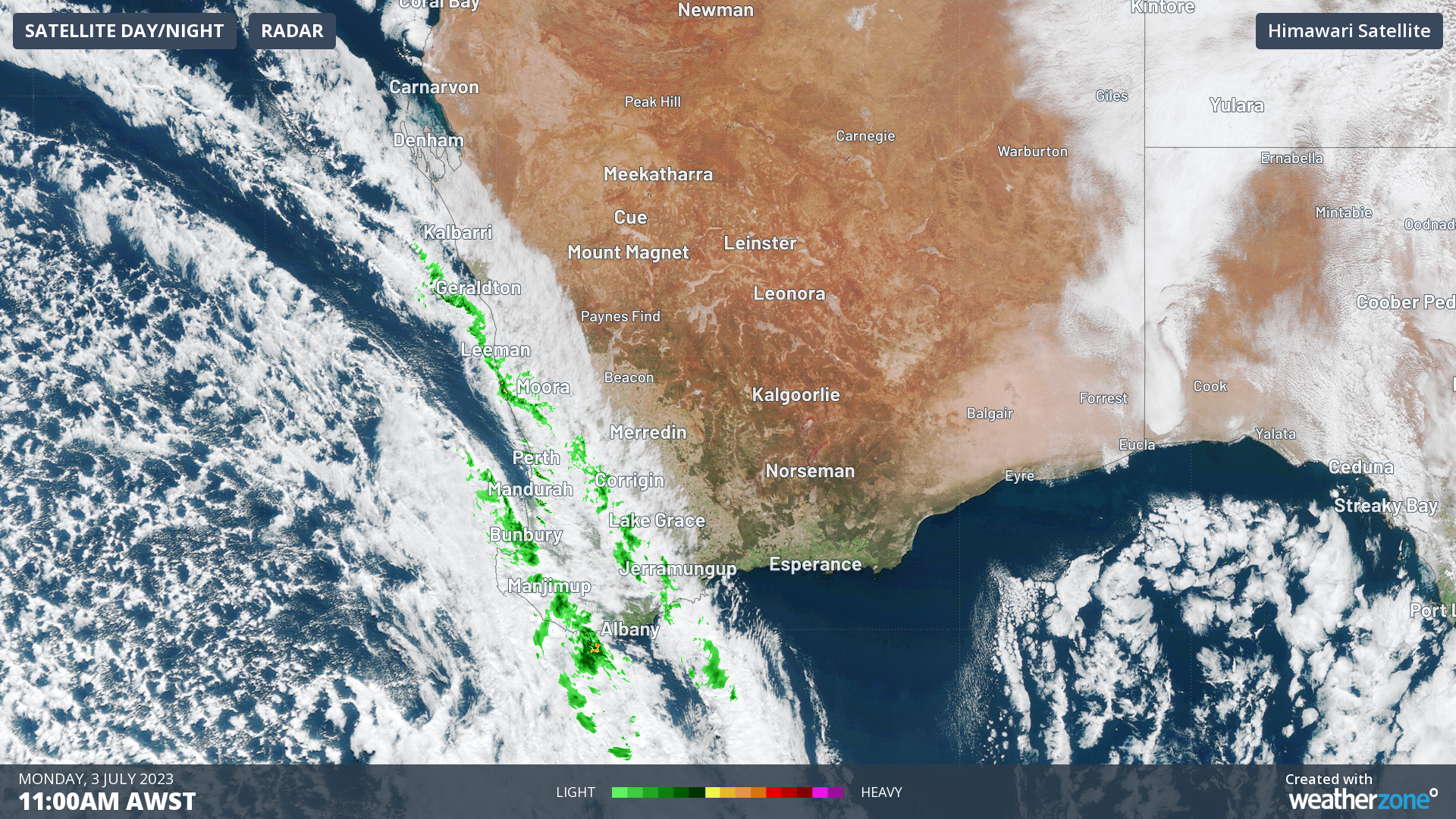
Cold and staying that way. That’s the forecast for Perth as yet another cold front bears down upon southwestern WA after the coldest average max temps for June in 50 years.
We’ll deal with this week’s chilly weather in a moment, but firstly:
- As mentioned, Perth had its coldest June in 50 years in terms of average maximum temperatures
- The average June max was just 17.4°C at the Perth metro office compared to the average over the last 30 years of 19.5°C
- So Perth’s average June max in 2023 was more than two degrees colder than the recent 30-year average
- Despite being the coldest June in 50 years, June 2023 was only the 17th coldest June since Perth records commenced in 1876, which emphasises the relative scarcity of cold records nowadays at a time of general climate warming
One particularly cold morning was last Tuesday 27th, when the city fell to 0.7°C, Perth’s coldest morning in seven years. This cold temperature led the highest winter-time energy demand on record for the WEM (Wholesale Electricity Market).
Driven by very cold conditions, Perth’s electricity system experienced all-time evening and morning winter peak demand records of 3,652 MW on 26 June and 3,342 MW on 27 June, respectively. Temperatures reached a minimum of 0.7°C, resulting in significant heating use. pic.twitter.com/5NPFLP7ZqL
— AEMO (@AEMO_Energy) June 28, 2023
As for Monday’s weather…
The loop below shows a brief rainband associated with a trough passing over the city on Monday morning.
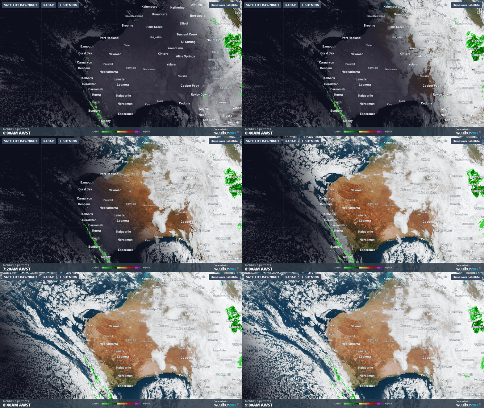
This occurred just as we started putting this story together and it dropped a quick 5.2 mm of rainfall within the space of 40 minutes
Further showers across Perth and the southwest of WA can be expected on pretty much every day of the week ahead, although showers will likely be heaviest later this Monday and into Tuesday as the cold front makes landfall.
Behind the front, you can see the telltale speckled cloud field which often indicates cold air and intermittent showers at this time of year.
- Expect two days with top temps of just 16°C in Perth this Tuesday and Wednesday, with maximums only edging up by a degree or two at best as the week progresses
- July is Perth’s coldest month for both max and min temps, with averages of 18.5°C and 8.0°C respectively
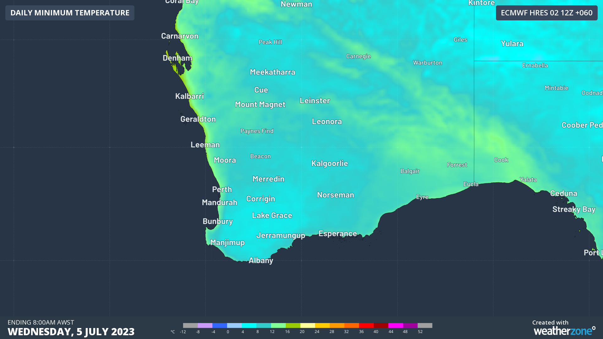
- While max temps as mentioned will be slightly cooler than average, min temps will likely be a degree or two above average due to cloud cover
- Certainly there will be nothing like last week’s near-zero and even subzero temps in the Perth metro area
Meanwhile June was also very wet in Perth, with rainfall of 228.6 mm which was almost double the monthly average of 127.3 mm.
DTN APAC provides detailed wind, solar and energy forecasts to our energy clients across Australia. For more information, please visit our website or contact us at apac.sales@dtn.com.




