
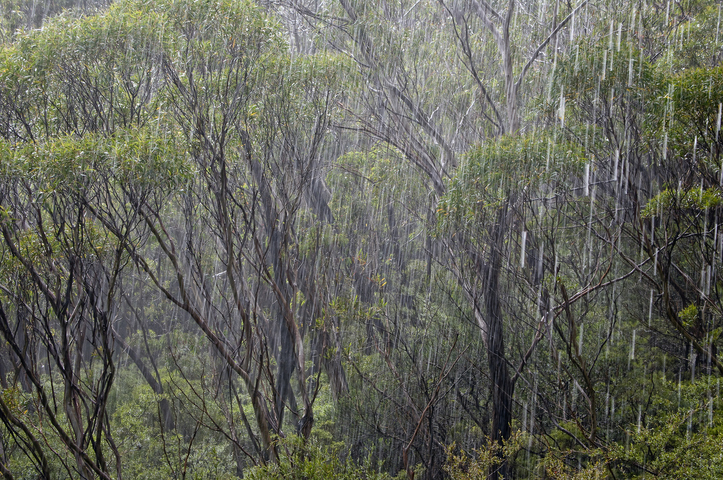
Unseasonably high 24-hour rainfall totals have again been recorded to 9 am Wednesday across large parts of southern Queensland and northern NSW, with the heaviest falls in Queensland’s Capricornia, Wide Bay and Burnett, and Southeast Coast forecast districts.
The city of Rockhampton recorded 85 mm to 9 am Wednesday, which made it the wettest August day on record. Over two days, Rockhampton has now collected 156.6 mm – an impressive total given the city’s August average in 84 years of records is just 26.8 mm.
The two-day figures have been remarkable in this event, with at least 35 Queensland weather stations recording more than 150 mm, while no fewer than 17 NSW weather stations have exceeded 200 mm.
Some of the 48-hour observations of note include:
NSW
- Goonengerry, in the Byron Bay Hinterland, with 276 mm.
- Repentance, also in the Byron Bay Hinterland, with 257 mm.
- Alstonville, just inland from Ballina, with 257 mm.
QLD
- Samuel Hill, just north of Rockhampton, with 254 mm.
- Byfield, north of Rockhampton, with 235 mm.
- Bulburin, a weather station in Bulburin National Park, south of Gladstone, with 229 mm.
The BoM chart below for southeast Qld is almost like looking at a topographic map. The areas with the heaviest rainfall (the red and orange dots) are generally located where the moist easterlies meet hilly or elevated areas close to the coast, causing orographic rainfall.

Source: BoM.
And that’s the story of this weather event: persistent moist easterlies feeding into a coastal trough, supported by an upper-level trough.
These sorts of systems are more common in the wetter, warmer months. If we take the example of Rockhampton, its average monthly rainfall tops 100 mm from December to March, then drops dramatically in late autumn, winter and early spring.

The good news for soaked residents of Rockhampton and nearby areas is that the unseasonable weather appears to be finished in that part of Queensland.
The main band of rain is now located further south, with heavy rain continuing in the southeast corner of Qld and the northeast corner of NSW today, before a gradual clearing pattern sets in.
Brisbane received 39.4 mm to 9 am Wednesday – by far its heaviest day of rain in winter 2024 to date – and while heavy showers have continued on Wednesday morning, they should start to clear by the afternoon.
As you’d expect with rainfall of this magnitude, numerous flood watches and warnings are in place, so please check our warnings page for the latest updates.
Are increasingly volatile weather events affecting your insurance company’s bottom line?
Given weather affects your business at all levels of operation, from risk assessment to sales and claim management, it’s worth gaining the foresight of our industry-leading, comprehensive weather services.
DTN APAC, a DTN company, offers you trusted weather intelligence, alerting and analytics to support your business, bringing ease to your risk and claims management.
Severe weather and conditions alerting
Weatherzone’s alerting allows your organisation to mitigate severe weather insurance claims and protect policy holders from lightning, hail, bushfires and other natural disasters. Address specific SMS alerts are sent up to 30 minutes prior to a severe storm’s impact, giving your customers time to prepare themselves, protecting both assets and life. Our alerting system combines the proven technology of TITAN Tracks, with our own Dangerous Thunderstorm Alerts (DTAs) and Total Lightning Network, so you are protected by the most precise service available.
Historical severe weather reporting
StormQuery creates storm reports based on historical data from the Bureau of Meteorology and lightning strike information from our own Total Lightning Network. You can draw historical lightning and severe weather reports – geo-tagged to any address and postcode – to quickly and accurately verify severe weather insurance claims. StormQuery is seamlessly embedded within the Weatherzone interface and is easy to visualise and utilise.
Long-range forecasts
Long-range forecasts enable you to prepare for the seasons ahead – whether it’s tropical cyclone risk, La Niña’s above average rainfall or the bushfire seasons of El Niño. With that foresight, you can equip your customers with the strategies they need to mitigate loss due to fire, flood and severe weather. Nurture your relationship with your customers by providing them with the tools to protect themselves and their assets from increasingly volatile conditions. Data from the forecast reports can also be incorporated into your reinsurance negotiations.
Rain, hail or shine: we are there for you, and your customers. To find out more visit our contact page or email us at apac.sales@dtn.com.




