
Oppressive heat is looming for NSW late this week into early next, with the potential to leave NSW with insufficient energy reserves.
The Australian Energy Market Operator (AEMO) has sent out several market notices for the lack of reserve forecast on Tuesday, November 26, when heat and humidity is set to peak.
AEMO initially sent out a notice for a Lack of Reserve Level 3 (LOR3), which was downgraded to a LOR2 on Wednesday morning, November 20. This downgrade was most likely due to uncertainty around the timing of a weak southerly change, cloud cover and seabreezes across NSW.
A Lack of Reserve Level 3 (LOR3) is when the projected energy reserves are insufficient to meet forecast demand and controlled load shedding occurs as a last resort. The operator as of 10am on Wednesday, November 20 forecasts LOR2 conditions for NSW between 2:30 and 4pm and again between 7 and 8:30pm.
The high demand forecast during these periods on Tuesday will be due a combination of extreme heat and uncomfortable humidity across the state, making the temperature feel much hotter than the actual.
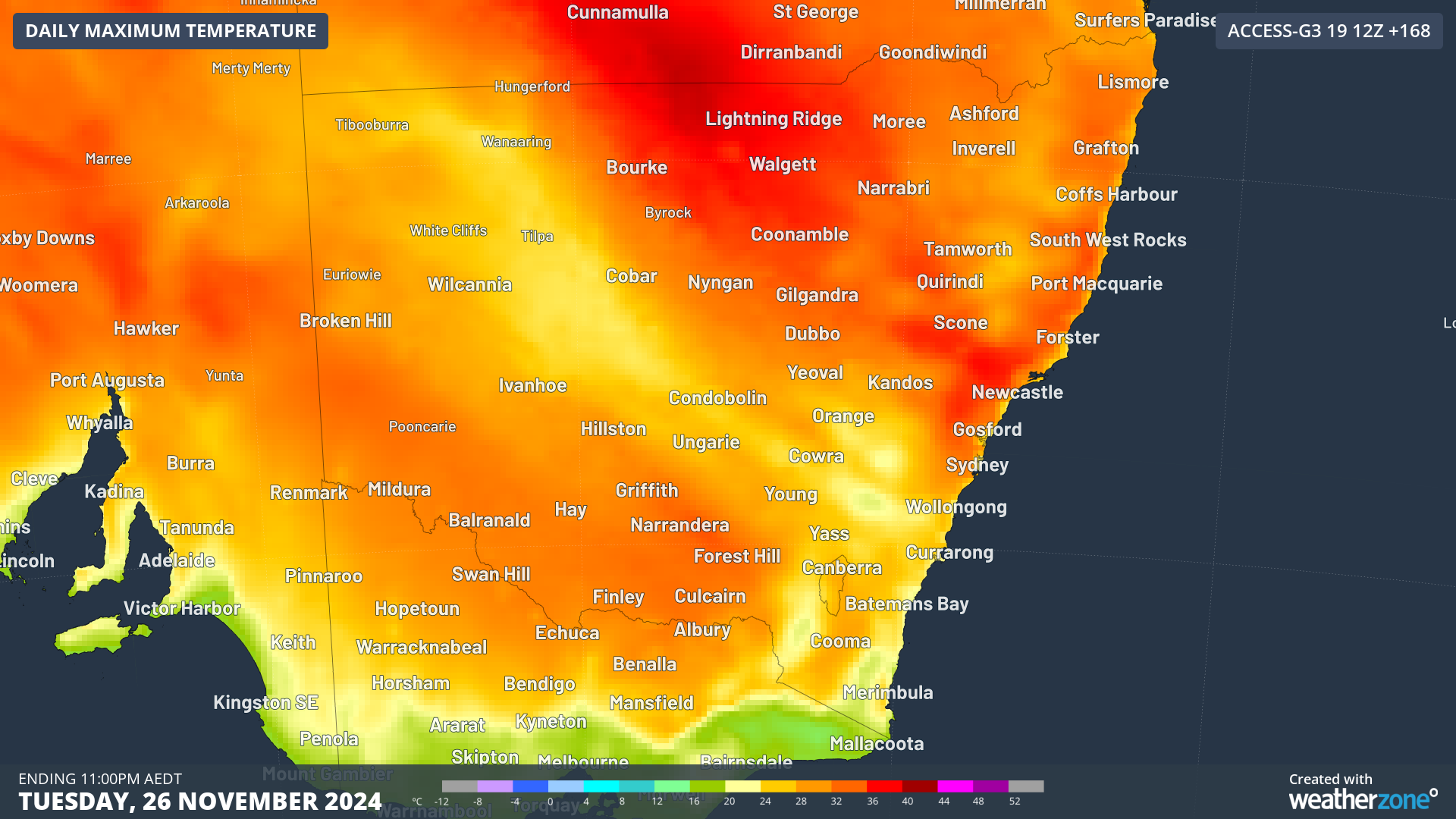
The map below shows that large areas of NSW are forecast to reach the mid 30’s on Tuesday, November 26.
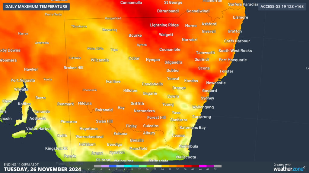
Image: Maximum temperature forecast for Tuesday, November 26, according to Access-G
While the heat is forecast to peak on Tuesday with 30°C in Sydney and 34°C in Bankstown currently forecast, it will be the fourth consecutive day with the city’s temperatures in the high 20s to mid 30s. There is some uncertainty around the seabreeze, southerly change timing and cloud cover on Tuesday, with the potential for the forecast maximum to change significantly.
There won’t be much relief overnight on Sunday and Monday, with the temperature failing to drop below 19 to 20°C. The hot days and uncomfortable nights will also be accompanied by high levels of humidity.
The dewpoint across central and eastern NSW on Tuesday evening is forecast to reach 20°C, which is very muggy and uncomfortable.

Image: 2m/10m dewpoint and wind forecast for 5pm on Tuesday, November 26, according to Access-G
The dewpoint is the temperature at which air must be cooled to achieve a relative humidity of 100% or saturation of moisture in the atmosphere. The higher the dewpoint, the greater the amount of moisture in the atmosphere, which makes it more difficult to cool down through the evaporation of sweat
This dewpoint could make Sydney feel 2 to 4°C warmer than the actual temperature on Tuesday, contributing to air conditioning use and high energy demand.
While energy demand is forecast to skyrocket based on these conditions on Tuesday, low energy generation in the state will also contribute to insufficient energy reserves.
The very low wind farm output forecast is one of the contributing factors to the situation Tuesday. DTN’s wind farm output forecast for NSW is showing very low wind impacting the state on Tuesday, November 26, with around 4600 MWh forecast for the state.

Another reason for lower energy production is that several NSW power plants are on planned and unplanned outages.
WattClarity also wrote that ‘Bayswater Unit 3 has announced that it will take an unplanned forced outage in the most recent MTPASA unit availability information (760 MW max capacity). Vales Point 6, Bayswater Unit 2 and Eararing 3, and Tallawarra 1 (totalling 2,630MW) are on planned outages.’
We will be watching the forecast for early next week closely and update you here.
DTN APAC supplies precise weather intelligence to over 75% of the National Energy Market (NEM); and is the trusted provider for the Australian Energy Market Operator (AEMO).
Weatherzone’s next-generation nowcasting and forecasting system, OpticastTM, is independently proven to outperform other industry models, allowing energy traders to respond rapidly to changing conditions. From 14 day forecasting to seasonal outlooks, you have access to complete and powerful weather intelligence giving you the confidence to make the best call.
Meeting the needs of the changing market, Weatherzone utilises high-resolution modelling and local knowledge to provide 5-min granularity observations and forecasts, optimising your market bidding and maximising your profits. These, coupled with briefings from our energy meteorologists, give you full awareness of the associated risk.
Benefit from specialised indices such as apparent temperature, Cooling/Heating Degree Days (CDD/HDD) and Effective Degree Days (EDD) to help accurately predict demand. You can get a clear picture of forecast conditions across the market and quickly assess heat/heatwave potential from 14 days out to 12 months
No matter where your energy trading focus lies, we have the power generation and weather insights to inform your critical decisions, keeping you ahead of the curve. For more information please visit our website or email us at sales.apac@dtn.com.




