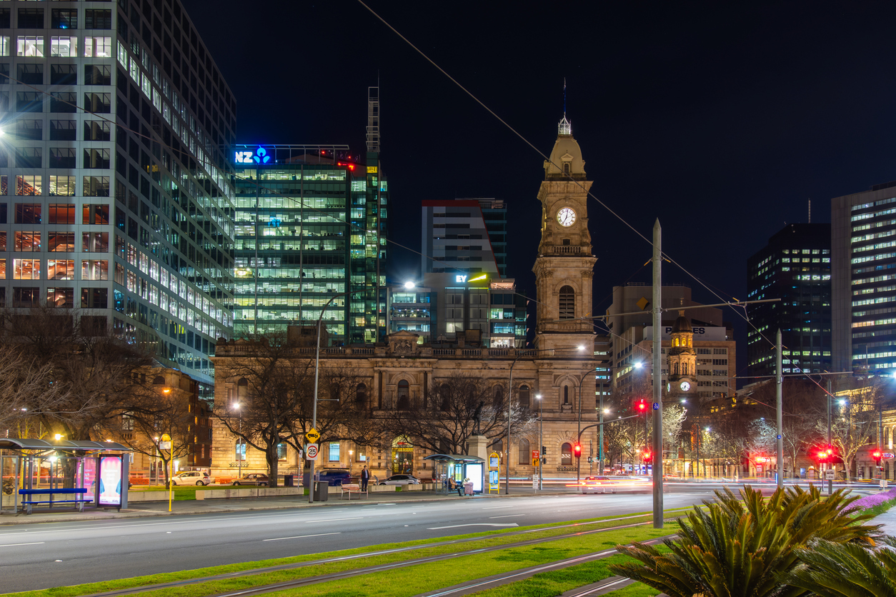
SA has woken up to one of the coldest mornings in years, as temperatures plunged below freezing in some areas.
The freezing cold morning was caused by a stubborn high pressure system sitting over SA and promoting clear skies over the state.
The image below shows the cloud-free skies across SA earlier Wednesday morning, which allowed temperatures to plummet across the state.
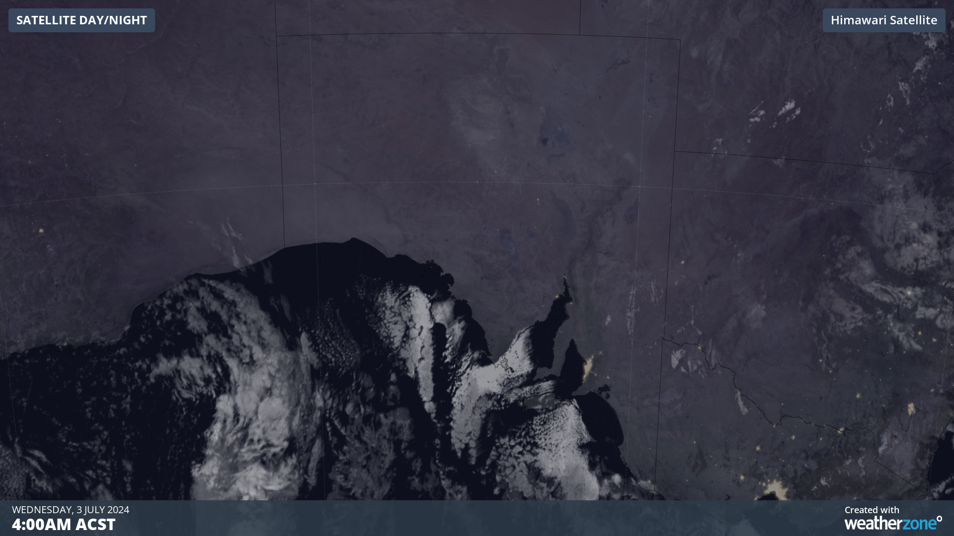
Image: Himawari-9 satellite image at 4am ACST on Wednesday, July 3
Nullarbor in the state’s southwest corner, recorded its lowest temperature since temperature records began in 1987, recording a minimum of –3.2°C.
Meanwhile other locations in SA recorded the coldest temperature the site had seen in any month for years:
- Adelaide saw its coldest morning in 18 years, with a minimum of 0.6°C
- Edinburgh recorded its coldest morning in 13 years with the temperature dropping to –0.9°C
- Whyalla saw its coldest morning in nine years, with a minimum of –1.8°C
- Noarlunga and Parafield Airport saw their coldest mornings since 2020, with an overnight temperature of 2.2°C and –1.1°C respectively.
Some notable July statistics from Wednesday morning were:
- Coonawarra saw its coldest July morning since 1982, observing a minimum of –3.2°C
- Noarlunga in Adelaide’s south recorded its coldest July morning since the station opened 24 years ago, with the temperature dropping to –0.2°C
- Adelaide and Robe saw their coldest July mornings in over 42 years, with an overnight temperature of 0.2°C and –1.4°C respectively.
- Naracoorte’s temperature dropped to –2.7°C, the coldest July morning since 2008.
The images below show parts of western SA are forecast to see temperatures below 0°C again on Thursday morning, before contracting to the northwest on Friday.
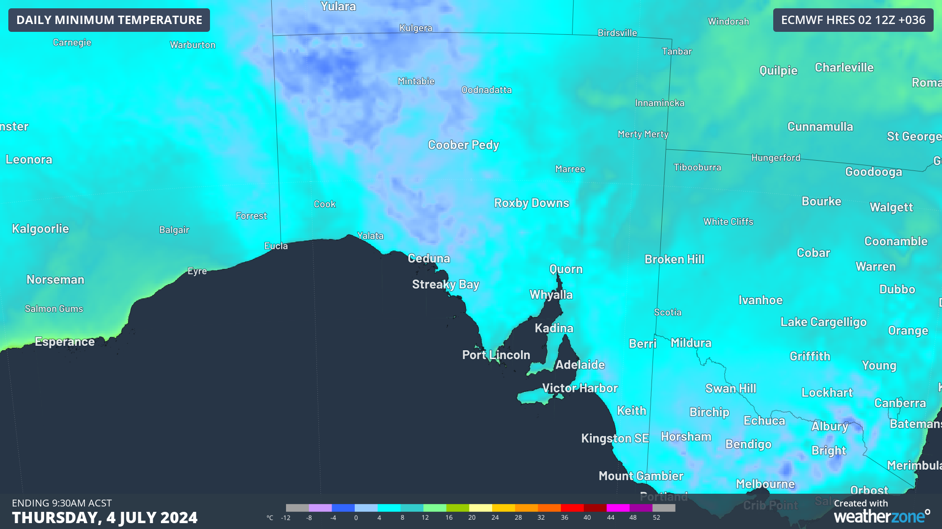
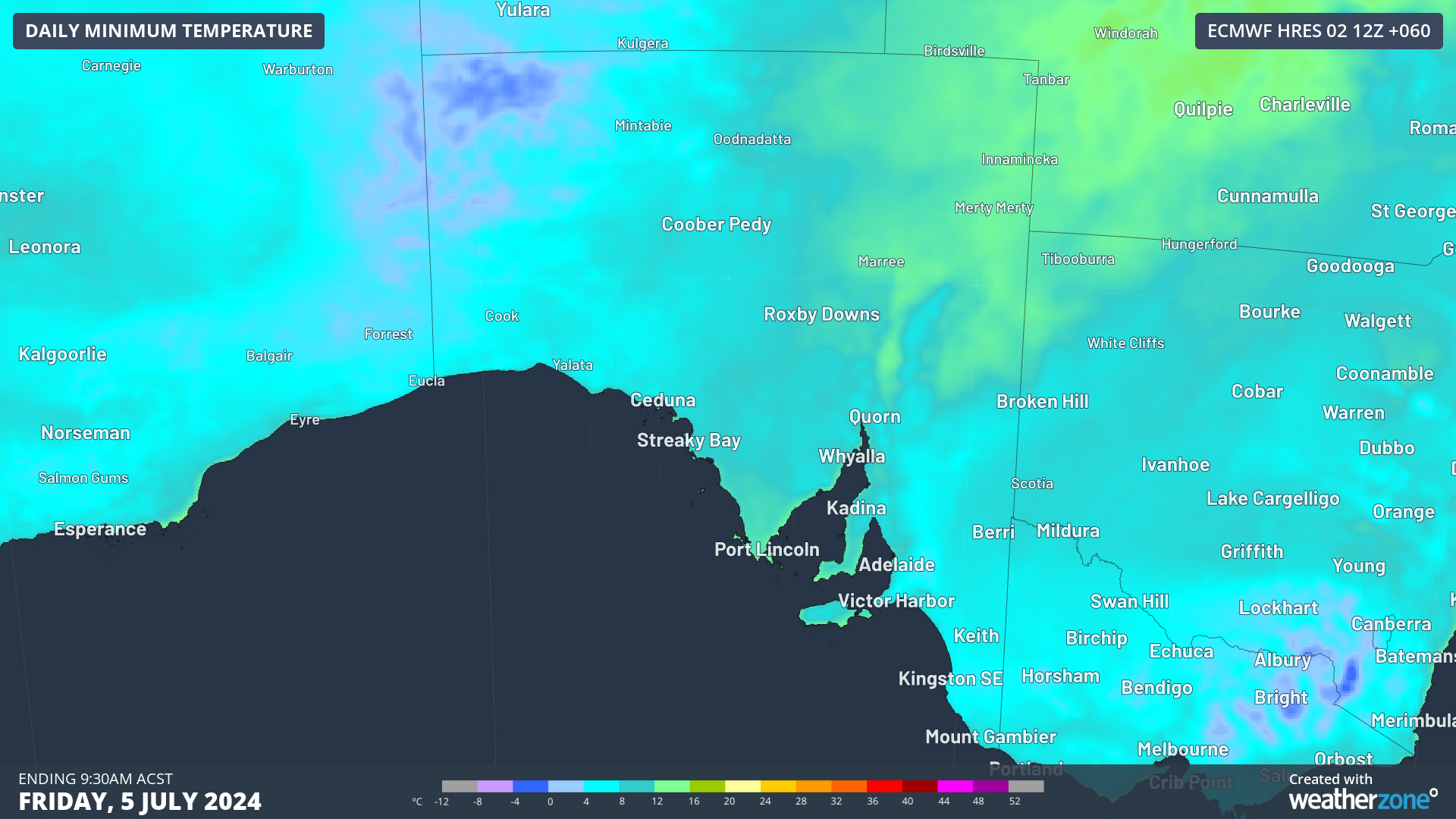
Images: Minimum temperature forecasts for Thursday (top) and Friday (bottom), according to ECMWF
Meanwhile, morning temperatures in the east of the state on Thursday and Friday should be slightly warmer than those seen early on Wednesday morning. This is due to a rare ‘northeast cloudband’ stretching from the Coral Sea down to SA, acting as a blanket overnight to trap some warmth in.
Adelaide’s minimum temperature is forecast to drop to 6 to 7 °C early Thursday and Friday mornings, before climbing to above average to 9 to 10°C over the weekend into next week.
Benefit from the timely delivery of accurate weather information, allowing informed and effective decision-making. To find out more, please visit our contact page or email us at apac.sales@dtn.com.


