
A cold Southern Ocean air mass will spread across Australia this week, causing a run of wintry days and nights for much of the country before possibly culminating in heavy rain along the east coast.
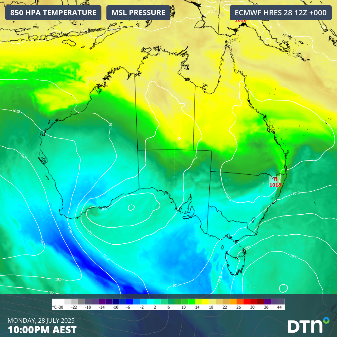
The image below shows a tongue of cold air extending from the Southern Ocean towards southwestern Australia on Monday. This frigid air mass will slowly spread across the country during the remainder of this week, causing a spell of cold and wet weather.
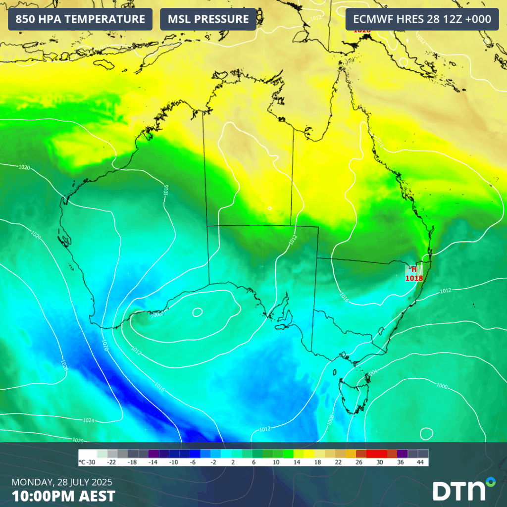
Image: Modelled 850 hPa temperature and mean sea level pressure at 10pm AEST on Monday, July 28, 2025.
Perth only reached 13.9°C on Monday under the influence of the cold air mass, which was the city’s coldest day so far this year. When factoring in wind chill, most of the day felt colder than 10°C, enhancing the energy demand to combat the cold.
As this cold air spreads further east and north throughout the week, temperatures will also drop in Adelaide, Melbourne, Hobart, Canberra, Sydney and Brisbane, leading to high energy demand.
Adelaide and Melbourne are both predicted to see maximum temperatures of around 13°C on several days this week, with a few overnight minimums of about 4 to 5°C. These temperatures are about 2 to 4°C below average for this time of year.
When the pool of cold air reaches eastern Australia later in the week, temperatures will take a dive, but rain and wind are likely to increase over parts of NSW and Queensland. There are also signs that the cold upper-level air could produce a dynamic low pressure system near the country’s east coast over the weekend, increasing the risk of heavy rain, damaging winds and hazardous surf. Adverse weather could impact a broad number of businesses across the east coast, including ports, transport and energy.
It’s too early to know where and how much rain will fall in eastern Australia later this week. At this stage, there is potential for heavy rain and damaging winds in eastern NSW and southeast Queensland towards the end of the week, most likely on the weekend.
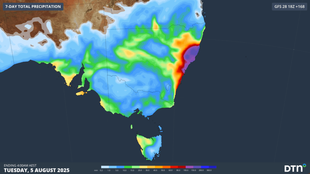
Image: Forecast accumulated rain over the 7 days starting at 4am AEST on Tuesday, July 29, 2025.
How DTN APAC can help
We help businesses in Australia, Asia and the Pacific prepare for severe weather and storms, across sectors including Roads and Transportation, Emergency Services, Mining, Insurance and Energy.
The DTN APAC Flood Risk System (FRS)
DTN APAC, delivers the Flood Risk System (FRS) to provide flood risk visibility. You can now easily visualise precipitation, and access rapid-update forecasting, across multiple sections of your site with the FRS geofenced alerting system. Gain a more precise determination with DTN APAC’s advanced geospatial technology creating hundreds of virtual ‘weather stations’ for each monitored section or culvert.
Rainfall is measured across each of your established catchments, with alerting calibrated to their individual thresholds. Alerts are raised when thresholds for any section are approaching or have been breached. This gives you targeted risk visibility to inform your assessment, operational response and emergency management.
The FRS can be integrated into your existing DTN APAC interface, or your own monitoring and control systems. Real-time monitoring of each catchment’s predefined thresholds is coupled with forecasting of rain, so you can provide your team with the most up-to-date information on whether conditions will ease, continue, or worsen.
Learn more about our large range of industry leading products and services or email us at sales.apac@dtn.com




