

The mercury plummeted overnight in Canberra, with a reading of –6.9°C recorded at 5:49am. That made it the coldest temperature in any spring month since meteorological records commenced in the national capital in 1923.
Canberra’s average September minimum is 3.1°C and the previous monthly (and seasonal) low record was –6.8°C.
The unseasonably low overnight temperatures were caused by a cold airmass with Antarctic origins which swept across southeastern Australia on Saturday.
After showers in Canberra on Saturday and snow in the alpine areas of NSW, Tasmania, Victoria and the ACT – and even light snowfalls in some towns on the fringe of the mountains – the airmass dried out rapidly on Sunday, leaving behind chilly crisp air.
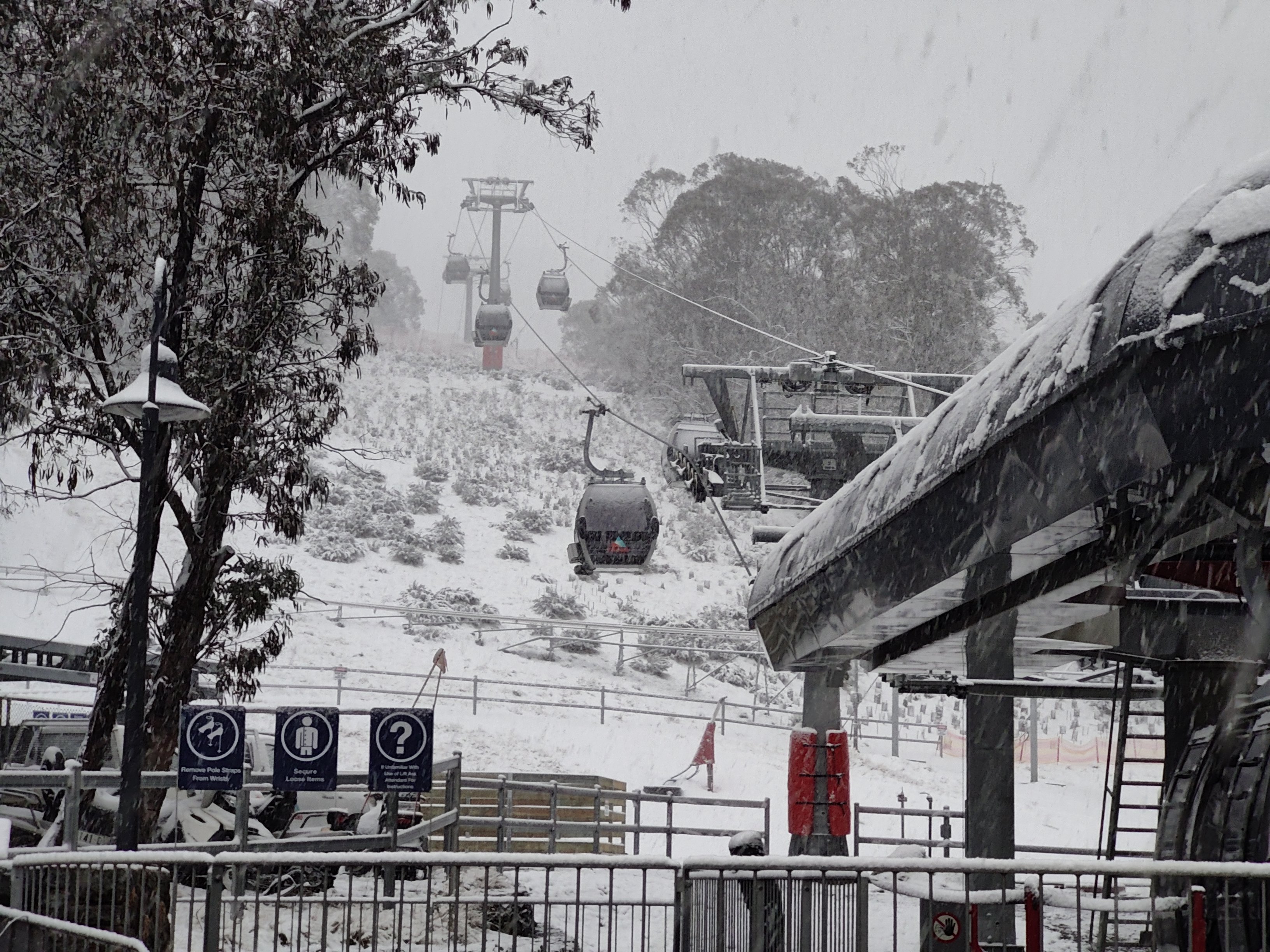
Image: Because the weather gods have a sense of humour, Thredbo’s gondola was covered in fresh snow just days after closing for the season. Source: Rusty J via ski.com.au.
And Canberra wasn’t the only place where locals were frantically retrieving the heavy doonas from the linen closet. Other frigid locations on Sunday night into Monday morning included:
- Cooma Airport (NSW), on the high, dry Monaro plains east of the Snowy Mountains, recorded Australia’s lowest overnight temperature of –8.2°C. Thredbo Top Station recorded the same temperature the previous night.
- Wagga Wagga (NSW) dropped to –3.4°C, its coldest September minimum in 58 years. The average September minimum is 5.1.
- Keith (SA) recorded its coldest September morning in over 62 years with a bone-chilling low of –4.5°C.
- Walpeup, in the Mallee region of northwest Victoria, had a low of –1.2°C, its lowest in 29 years. While other parts of Victoria had much colder temps (including –6.1°C at Mt Hotham), it’s not often you see widespread subzero temperatures in spring in the Mallee, with the mercury dropping to –2.4°C at Hopetoun Airport.
The current chilly spell comes after Australia as a whole had its warmest August on record by a huge margin.
Canberra’s August temperature anomalies were typical of many locations Australia-wide in August 2024.
- Canberra’s average maximum of 16.7°C was 3.7 degrees above the long-term average.
- Canberra’s average minimum of 2.5°C in August 2024 was 1.5 degrees above the long-term average.
As for the rest of this week in Canberra, at least one more freezing night is in store this week, with a low of –1°C expected on Tuesday morning, followed by a week of chilly nights just above zero.
Weatherzone Business has grown to become the outright leader within the Australian energy market, serving wind, solar, hydro, trading, utilities and network companies.
You can’t control the weather, but you can gain precision insights to optimise your response. What lights us up is providing your energy business with tailored weather information to reduce your risk and keep you moving ahead of the curve.
Our services cover all aspects – from wind and solar generation to demand forecasts, wholesale markets to retail so, no matter where your company sits, we have solutions for you. We have worked closely with market participants to create products that meet the evolving needs of the sector, aiming to increase safety and profitability for our customers.
Benefit from the timely delivery of accurate weather information, allowing informed and effective decision-making. For more information, please visit our website or email us at apac.sales@dtn.com.




