
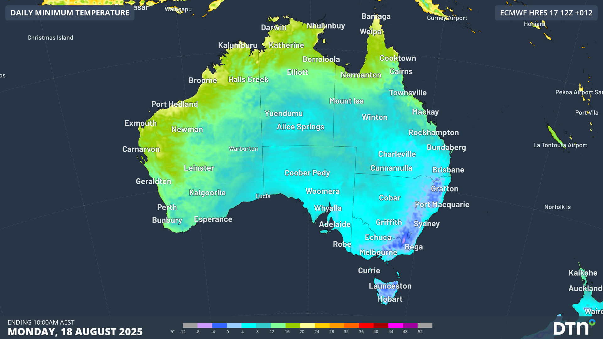
With an overnight minimum of a bone-chilling –13.2°C, Thredbo Top Station just registered Australia’s coldest night of 2025 to date by more than three degrees.
It was the coldest temperature recorded anywhere in New South Wales since 2018, and the coldest in Australia since –13.5°C was recorded in the tiny town of Liawenee on Tasmanian’s Central Plateau on the morning of July 4, 2024 – a record for both the site and the state. As these extreme cold snaps significantly drive up heating demand and strain the electrical grid, many operators rely on specialized weather tools for energy industry management to predict and mitigate consumption peaks.
The coldest temperatures recorded overnight in Australia’s eight states and territories were:
- NSW –13.2°C at Thredbo Top Station
- VIC –7.6°C at Mount Hotham
- ACT –6.1°C in Canberra
- QLD – 4.3°C at Applethorpe on the Granite Belt
- TAS –4.2°C at Ouse in the Upper Derwent Valley
- SA –0.1°C at Keith West in the Upper South East forecast district
- NT 1.4°C at Alice Springs Airport
- WA 2.4°C at Forrest in the Eucla forecast district
Adelaide (5.0°C), Melbourne (5.1°C), Hobart (3.1°C) and Sydney (6.6°C) also experienced a chilly morning, dropping 2-3 degrees below climate for this time of year, driving increased energy demand at the start of the working week.
Why was it so cold in eastern Australia last night?
A very dry polar airmass is sitting over southeastern Australia, with clear skies enabling considerable radiational cooling (where the Earth radiates heat away from the surface).
In the case of Thredbo Top Station – which is Australia’s highest weather station sitting at an exposed site at an elevation of 1957m – a rare windless winter night contributed heavily to the frigid temperatures, with conditions completely calm for much of the night and early morning.
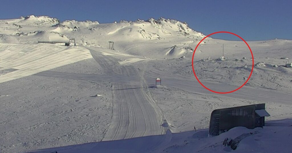
Image: Location of Thredbo Top Station AWS (automated weather station) as captured on the Thredbo snow cams on the morning of Monday, August 18, 2025. Source: Thredbo.
A third factor also helped the extreme chill develop at Thredbo Top Station, namely fresh snow.
A moderate snowfall of around 10cm occurred on the weekend. As DTN meteorologist Tim Woebbeking explains, fresh dry snow acts as insulation, keeping ground heat from convecting upwards.
“It’s like a big puffer jacket for the ground that prevents heat being transferred to the near-surface air,” Woebbeking said.
Another chilly morning or two will grip parts of southeastern Australia into Tuesday and Wednesday, while daytime temperatures trend on the milder side this week.
DTN APAC has grown to become the outright leader within the Australian energy market, serving wind, solar, hydro, trading, utilities and network companies.
You can’t control the weather, but you can gain precision insights to optimise your response. What lights us up is providing your energy business with tailored weather information to reduce your risk and keep you moving ahead of the curve.
Our services cover all aspects – from wind and solar generation to demand forecasts, wholesale markets to retail so, no matter where your company sits, we have solutions for you. We have worked closely with market participants to create products that meet the evolving needs of the sector, aiming to increase safety and profitability for our customers.
Your customisable Energyzone interface can assess heat/heatwave potential from 14 days out to 12 months. It allows you to benefit from specialised indices for CDD/HDD/apparent temperature/sunshine hours to help accurately predict the demand for electricity. This, along with high-resolution modelling and local knowledge, gives you the most precise information available to make the critical decisions that bolster your production.
Benefit from the timely delivery of accurate weather information, allowing informed and effective decision-making.
Learn more about our large range of industry leading products and services or email us at sales.apac@dtn.com




