As temperatures continue to soar in western Sydney, councils and local government have set up centres to keep locals cool this summer.
Penrith in Sydney’s west was momentarily dubbed the hottest place on Earth when it recorded a temperature of 48.9˚°C on January 4, 2020. Parramatta to Penrith’s east is also prone to extreme summer heat, with the suburb enduring 47 days with temperatures over 35˚°C in 2019.
The heat that Western Sydney residents are experiencing each summer poses a serious health risk.Heatwaves are responsible for more deaths in Australia than any other natural hazard, including bushfires, tropical cyclones, and floods.
According to the World Health Organisation (WHO), 166 000 people died worldwide due to heatwaves between 1998-2017.
In response to the heat Western Sydney was facing last summer, the Blacktown council set up several cool centres. These cool centres are places where the public can take refuge from the heat for those that cannot keep cool at home. The centres have air conditioning, drinking water, toilets and family friendly activities. The cool centres open when the Bureau of Meteorology issues a ‘severe’ or ‘extreme’ heatwave warning.
In Australia, a heatwave is defined as three or more days of unusually high day and nighttime temperatures in an area.
Weatherzone also provides councils in the region detailed temperature, extreme temperature and heatwave forecasts out to 14 days. This enables the councils to plan and staff cool centres on extremely hot days well in advance.
Why Is it so hot in western Sydney?
Western Sydney is prone to extreme summer heat due to a variety of natural and manmade factors.
Urban Heat Island effect
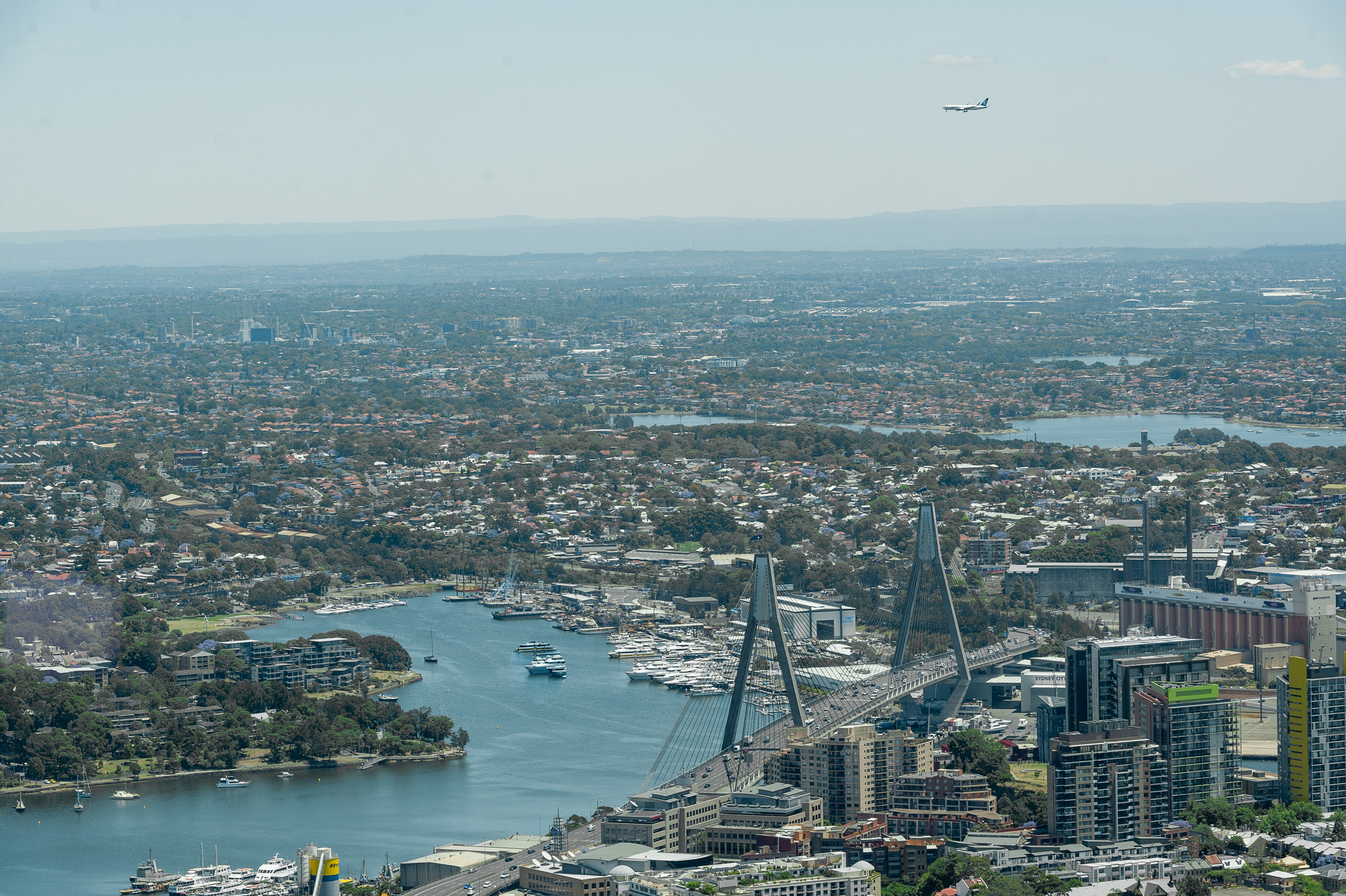
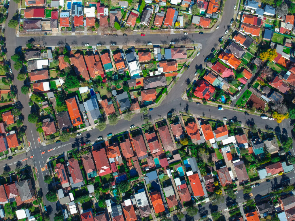
The population in Western Sydney is over 2 million and growing rapidly. The population growth in Western Sydney has led to an increase in manmade surfaces such as buildings and concrete, which absorb and retain heat. Western Sydney is also too far away from the coast to feel the cooling effect of sea breezes on some days. The combination of the urban heat island effect and its distance from the coast can make Western Sydney 5℃ or more hotter than Sydney’s eastern suburbs on some days.
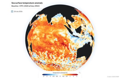
Global warming
Australia and the global atmosphere have warmed over the past century. According to the Bureau of Meteorology, Australia’s average air temperature has increased on average by 1.44 ± 0.24 °C since the records began in 1910. Every decade has been warmer than the previous since 1950, with both daytime and nighttime temperatures warming significantly. The number of extremely hot days has also increased in recent decades.
The heat in Western Sydney is set to increase into the future due to a combination of global warming and the urban heat Island effect.
According to the CSIRO and the Bureau of Meteorology, Western Sydney is forecast to see between a quarter and a third of summer over 35°C by 2090. They also predict that Western Sydney could see 12 days over 40˚°C by 2090, which is a huge increase from the historical average of one day per year.
What is in store for this summer?
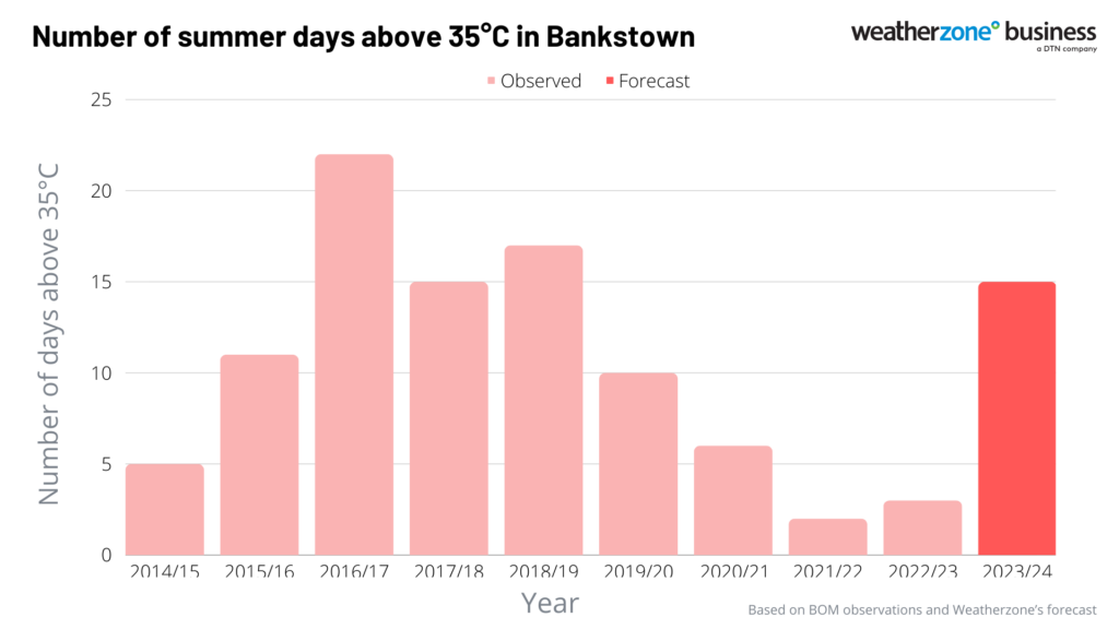
Western Sydney is expected to see a hot and dry summer in 2023-24, with an increased number of extremely hot days under the influence of El Nino and the positive Indian Ocean Dipole.
The chart below shows that Bankstown is forecast to see 15 days above 35˚°C this summer, which is vastly different from the past three summers in Sydney, which were under the influence of La Niña-driven cooler temperatures.
Weatherzone provides seasonal forecasts out to six months in advance as well as detailed daily forecasts out to 14 days, which can help councils plan and prepare the population for extreme heat. For more information, please contact us at apac.sales@dtn.com