
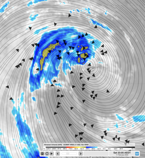
Norfolk Island just endured a direct hit from a category 2 tropical cyclone but barely had winds reach the strength of a category 1 system. So how did they escape the worst and how lucky was it? What weather did they receive? Norfolk Island recorded a maximum wind gust of 102km/h, typical of a category […]
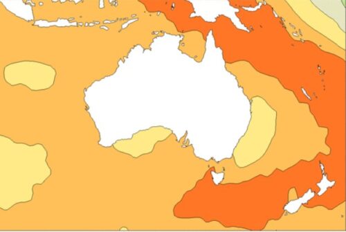
Australia saw its warmest sea surface temperatures on record in 2022, with an annual average sea surface temp that was 0.80°C above the long-term (1961 to 1990) average. What’s remarkable about the 2022 sea surface temperatures (SSTs) is that: They were very much higher than average around almost the entire Australian coastline for the year […]
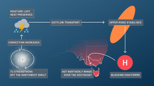
Tropical cyclones and heatwaves are both Australian summer staples, but did you know that a tropical cyclone can lead to a heatwave? A heatwave in Australia, but particularly for the southeast, is often triggered by a special kind of high pressure system called a ‘blocking’ high. Blocking highs are high pressure systems that have […]
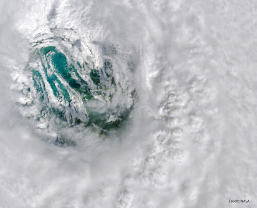
Tropical cyclones are one of the most powerful weather systems on Earth, with top-tier cyclones producing wind gusts in excess of 300 km/h, torrential rain and dangerous storm surges. But what is it like to be in the direct path of a landfalling tropical cyclone and how strong can they get? All tropical cyclones in […]
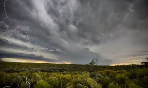
Australia just experienced its coolest start to a year since 2002 as the ongoing influence of La Nina helped suppress temperatures over large parts of the country. The national mean temperature in Australia during January was equal to the 1961 to 1990 average, making it the country’s coolest January in 21 years. Image: Mean temperature […]
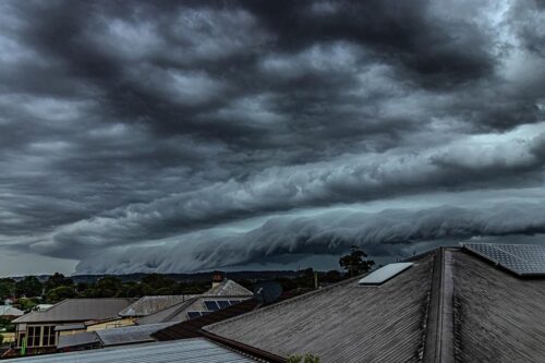
While there are many types of thunderstorms, squall-line thunderstorms are one of the largest types and impact the highest number of people when they roll through. Squall lines are a special and organised version of a traditional thunderstorm. These are almost always associated with a broad scale synoptic feature (like a front or trough) that […]

La Niña appears to be on its last legs and some long-range forecast models are hinting at the return of El Niño later this year. The Pacific Ocean is currently in a La Niña pattern that has been in place, on and off, over the past three years. This prolonged period of La Niña events […]
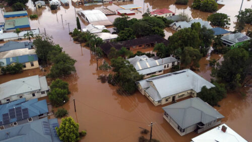
After three successive La Niñas, there are strong signs that the latest La Niña is quickly waning and will release its grip and move towards neutral in its effect on Australia in the second half of summer into autumn, as the previous two did. This means we can expect an end to the relentlessly wet […]
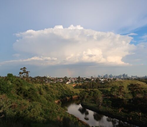
Due to the variety of climates of Australia, from the northern tropics to the temperate south, thunderstorms across this large continent exhibit a great deal of variety in terms of the way they form and move, their size, shape, and longevity. These features influence the severe phenomena they can produce. Image: Annual average lightning […]
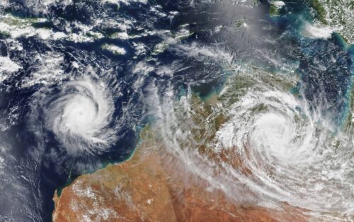
Australia’s tropical cyclone season is officially underway, but we may not see much activity for few months yet. The season runs from November to April, and for mining operators and businesses across northern Australia, 2026-27 is shaping up to be a season where the headline numbers and the real risk may not line up. On […]
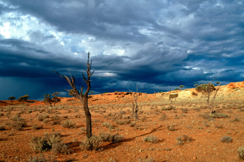
A positive Indian Ocean Dipole is underway, but this one is unlikely to deliver the textbook dry spring and summer that businesses have come to expect from the pattern. The Bureau of Meteorology officially declared a positive IOD on Tuesday, October 27, which typically like El Niño can cause drier and warmer conditions over parts of […]
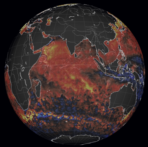
Waters off Indonesia have cooled in recent weeks, an indication that a positive Indian Ocean Dipole (IOD) event could be developing. It’s an important climate driver for Australia, and it could shape rainfall and temperatures heading into summer, with flow-on effects for farmers, energy and other industries. What is the Indian Ocean Dipole? The IOD […]

Leonora, WA, had its wettest September day on record earlier this month. Three weeks later, more than 1.3 million lightning pulses were detected within 800 km of the town in 48 hours. Why is a stalled trough delivering storms to mining country, and what it could mean for operations? The DTN Total Lightning Network detected […]