


Prosper in a dynamic world
Search

Severe storm hitting NSW, with more heavy rain on the way

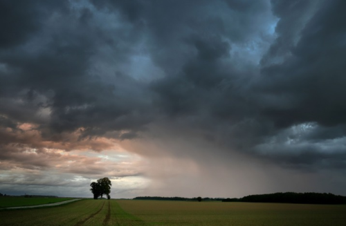
  Flood-weary areas of eastern and northern NSW are being hit by severe thunderstorms today, with more heavy rain on the way this weekend and into next week.   The satellite image below shows severe-warned thunderstorms moving over northeast NSW...

Wet end to March looms for large parts of Australia

  It’s looking like the final week of March will be very wet across large areas of eastern, western and northern Australia. Several features will combine to cause heavy rain over Australia in the coming week: La Niña is...

Rain coming for WA as Cyclone Charlotte moves south

  Tropical cyclone Charlotte may move closer to Australia’s west as it weakens this weekend, potentially bringing damaging winds and rain to some western parts of WA.  While Charlotte deepened rapidly on Tuesday to a category four severe tropical cyclone,...

The evolution of weather forecasts

  Today, March 23, is World Meteorological Day and this year’s theme is ‘Early Warning and Early Action’. With weather extremes having an immense impact on human lives, the environment, and the global economy, early warnings and accurate forecasts...

Six days of rain and storms in eastern Australia

  A prolonged spell of rain and thunderstorms will hit Queensland and NSW during the next six days, with more than 100mm of rain possible in some recently flooded areas of eastern Australia.  A slow-moving upper-level trough interacting with...

Stormy end to March for northern Australia

  An active end to March is on the forecast for the Australian tropics, as the Madden Julian Oscillation (MJO) lingers in the Australian region.   An increase in tropical activity has already been seen in the Indian Ocean...

Australia’s second severe tropical cyclone formed this morning

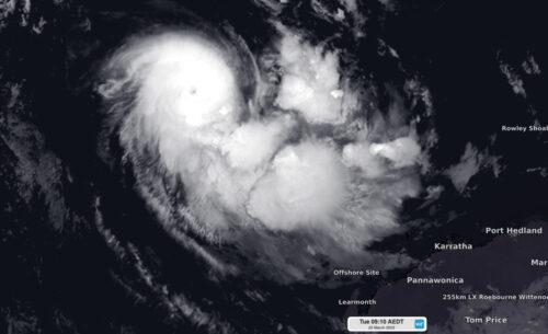
  Tropical Cyclone Charlotte strengthened rapidly overnight, becoming Australia’s second severe tropical cyclone so far this season.   Charllotte was located around 1000 kilometres to the northwest of Port Hedland at 6:40am WST on Tuesday, March 22. The system is...

More rain on the horizon for eastern Australia

  Parts of Queensland and NSW could be hit with heavy rain later this week, raising the risk of more flooding in already saturated river catchments. A slow-moving upper-level trough interacting with moisture-laden air will allow rain and storms...

Cyclone Charlotte develops northwest of WA

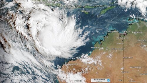
  Tropical cyclone Charlotte developed to the northwest of Australia on Monday morning, becoming our eighth named cyclone so far this season. The satellite image below shows Charlotte sitting around 900km to the northwest of Port Hedland at 8am...

Latest news

Satisfy your weather obsession with these news headlines from around the nation, and the world.

Australia’s 2026-27 Tropical Cyclone Season: Late Start, Real Risk

Australia’s tropical cyclone season is officially underway, but we may not see much activity for few months yet.  The season runs from November to April, and for mining operators and businesses across northern Australia, 2026-27 is shaping up to be a season where the headline numbers and the real risk may not line up.  On […]

Positive IOD declared: Not a typical dry signal for Australia

A positive Indian Ocean Dipole is underway, but this one is unlikely to deliver the textbook dry spring and summer that businesses have come to expect from the pattern.  The Bureau of Meteorology officially declared a positive IOD on Tuesday, October 27, which typically like El Niño can cause drier and warmer conditions over parts of […]

Signs of a positive Indian Ocean Dipole, but it may not follow the textbook

Waters off Indonesia have cooled in recent weeks, an indication that a positive Indian Ocean Dipole (IOD) event could be developing. It’s an important climate driver for Australia, and it could shape rainfall and temperatures heading into summer, with flow-on effects for farmers, energy and other industries.  What is the Indian Ocean Dipole?  The IOD […]

1.3 million lightning strikes and a record September downpour: the storms testing WA’s Goldfields

Leonora, WA, had its wettest September day on record earlier this month. Three weeks later, more than 1.3 million lightning pulses were detected within 800 km of the town in 48 hours. Why is a stalled trough delivering storms to mining country, and what it could mean for operations?  The DTN Total Lightning Network detected […]
