
Prosper in a dynamic world
Search

Heatwave to snow on Alps

Light snow has fallen across Tasmania and the alpine areas of New South Wales and Victoria on a day when Victoria’s last ski resort (Falls Creek) closed, proving the weather gods have a cruel sense of humour.

Snow was heaviest in Tasmania, with an accumulation of several centimetres at the tiny club-run ski field of Mt Mawson, two hours northeast of Hobart.
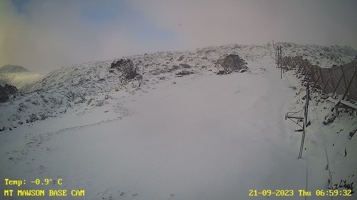
Image: The date stamp reveals all. Source: Mt Mawson.

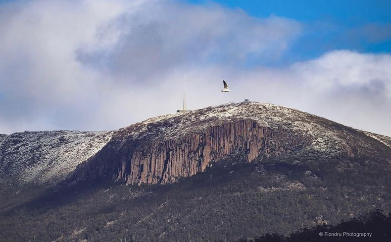
On the flanks of kunanyi/Mt Wellington just outside Hobart, the snow wasn’t quite heavy. The mountain recorded 1.2 mm of the frozen flaky form of precipitation in the 24 hours to 9 am Thursday, which translates roughly to a centimetre of snow.

A dusting like that will likely be gone by later today, but Hobart’s photographers were out and about on Thursday morning snapping the mountain – and a rogue seagull or two – in all its glory.
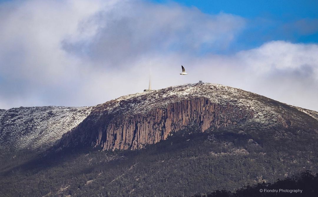
Image: No chips, but there was a bit of flake. Source: @fiondru.photography on Instagram

The cool air down south has replaced the heat which dominated the first part of this week, with cool air moving about halfway up the NSW coast.

In northeast NSW and southeast Qld, it promises to be a scorcher this Thursday, with temps heading for the low-to-mid thirties in all but the most exposed coastal areas like Cape Byron.
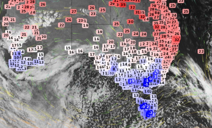
Back down south, that cold air is set in for a couple of days. A speckled Southern Ocean airmass is always a sign of cold air down south, and max temps won’t return to the twenties in Melbourne or Hobart until Sunday.

Canberra should even see frost over the next few mornings with minimum temps around the freezing mark. For more information on our maximum and minimum temperature forecasts, extreme temperatures and heatwaves to snow, please contact us at apac.sales@dtn.com.


Latest news

Satisfy your weather obsession with these news headlines from around the nation, and the world.

The 2026 Indian Southwest Monsoon onset is expected in the next two weeks

The Indian Southwest Monsoon will reach India in the next two weeks, but a developing El Niño could signal a drier than normal monsoon for businesses and major industries across the country. Southwest monsoon onset over southern India in the next two weeks The Indian Meteorological Department (IMD) is responsible for tracking the advance and […]

Rapid El Niño signal accelerating risk for Australian businesses

El Niño–favourable conditions are gathering pace across the tropical Pacific, with key ocean indicators approaching threshold levels and early atmospheric responses emerging.  While uncertainty remains around final El Niño strength, historical analogues show that even weak events can generate widespread impacts, including reduced rainfall, warmer daytime temperatures, increased frost risk, elevated fire danger, reduced tropical cyclone activity, and more. Industries including […]

Australia’s 2025–26 Cyclone Season: Slightly Above Average, Dominated by Severe Systems

Australia has just experienced a highly impactful tropical cyclone season, with more than 60% of systems reaching severe intensity, causing widespread disruption and damage to communities and multiple industries across northern Australia.  The 2025–26 Australian tropical cyclone season officially ran from 1 November 2025 to 30 April 2026. During this six-month period, Australia saw 11 tropical cyclones, with nine […]

What does a ‘super El Niño’ mean for Australia’s businesses?

There are signs that a very strong, or ‘super’ El Niño could develop in the tropical Pacific Ocean later this year. So, what does this mean for Australia’s weather during the second half of 2026? El Niño on the horizon The tropical Pacific Ocean is currently in a neutral state, meaning neither El Niño nor […]

