
Melbourne will shiver today through one of the coldest days of the year despite entering the second week of spring.
The satellite image shows a region of speckled cloud sweeping across Southern Australia, highlighting a large cold airmass moving over SA and parts of Vic on Friday morning.
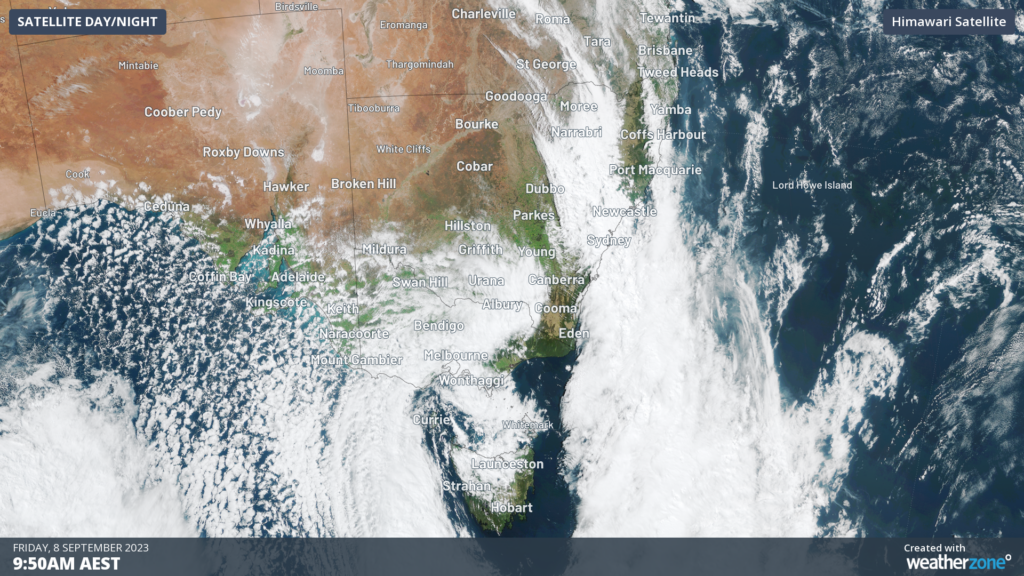
Image: Himawari Satellite Image showing frigid air sweeping across southern Australia at 9:50am Friday, September 8.
This frigid airmass is passing over SA, Vic, NSW and the ACT on Friday, bringing extremely cold temperatures to the regions.
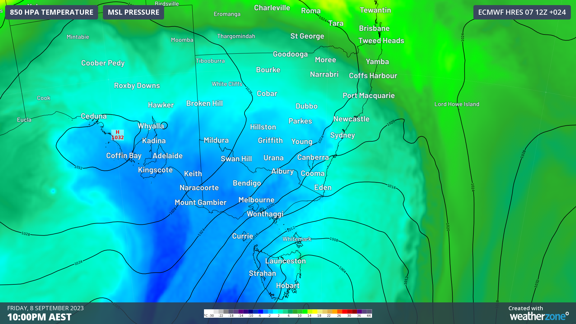
The image below shows the forecast air temperatures around 1.5km above sea level on Friday, showing the wintry blast moving over southeastern Australia.
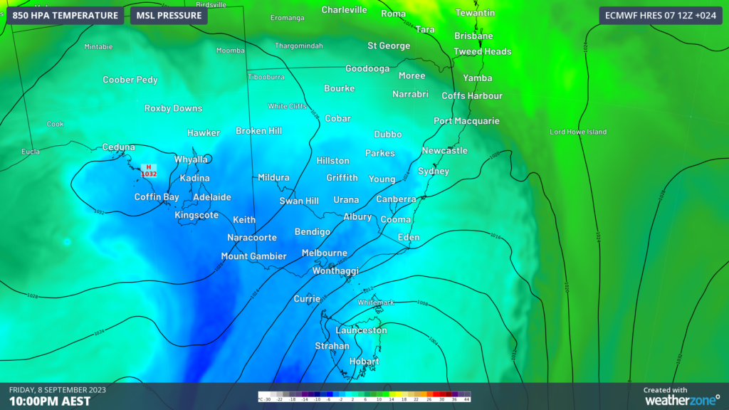
Image: ECMWF 850hpa temperature forecast at 10pm Friday, September 8.
On Friday, Melbourne will shiver through the second coldest day of the year with the maximum temperature topping at 12°C.
Melbourne’s coldest day this year happened three months ago, with a maximum of 11.3°C on Friday, June 23.
The chilly air is also moving through SA and NSW on Friday, with Adelaide’s maximum hitting only 14°C and Canberra’s 12°C.
The temperature in Melbourne and Adelaide will feel like 9-10°C, as cool gusty southerly winds sweep over the cities.
Damaging wind gusts of 111km/h have been recorded at Mt Nowa Nowa and Mt Gellibrand on Friday morning. The damaging winds are expected to continue across southern Vic and the northeastern ranges on Friday afternoon.
Looking ahead, temperatures will remain cool over the weekend across southern Australia before weather more indicative of spring return mid next week.
OpticastTM V5 is Weatherzone’s cloud-based, consensus forecasting solution that delivers precise weather data to your business, both nationally and globally.
Independently verified to significantly outperform other industry models, Opticast gives you a strategic advantage if weather impacts your enterprise. Armed with the most accurate nowcasting and forecasting data, you can mitigate operational and safety risks, and plan to make the most of severe weather windows.
Opticast is powered by machine learning, intelligently adapting to the local conditions of your site area. Gain a world-leading forecasting system that rapidly responds to changing conditions.
We give you the foresight to make quick and powerful decisions when you need to protect your valuable team and assets, and ensure maximum productivity. For more information, please contact us at apac.sales@dtn.com.




