Snow settled on the Stirling Range in WA on Thursday morning after a frigid polar air mass travelled from Antarctica to Australia.
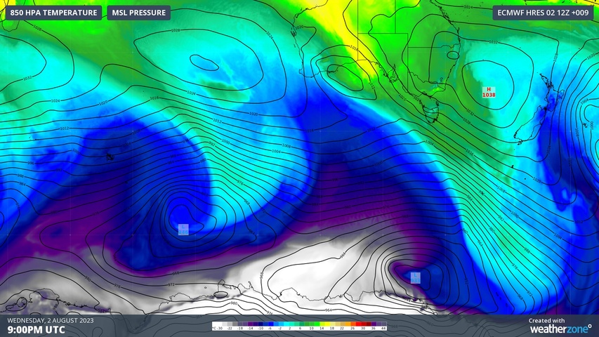
A long fetch of southerly winds has been blowing across the Southern Ocean during the past week, carrying polar air from the ice sheets of Antarctica into unusually low latitudes.
On Thursday morning, this Antarctic air mass reached the Stirling Range in WA and caused snow to settle on Bluff Knoll.
❄️ Snow on Bular Mial (Bluff Knoll) this morning! ❄️
This is the 3rd snow report this winter (23 June & 20 July). We don’t have an official way of reporting snow – we rely on brave folks hiking up and letting us know. Thanks to our friends at ABC Great Southern for this footage. pic.twitter.com/kkBMMxlBOg— Bureau of Meteorology, Western Australia (@BOM_WA) August 3, 2023
It is rare to see snow anywhere in WA and flakes usually only fall on the Stirling Range once or twice a year.
The main challenge for snow in WA is that it is so far away from Antarctica and its mountains aren’t very tall.
The highest peak in the state, Mount Meharry, peaks at 1248 m above sea level and lies north of the Tropic of Capricorn. While the Stirling Rage is much further south, its highest peak, Bluff Knoll, only rises 1,099 m above sea level.
Despite WA’s snow-phobic geography, the air mass that reached the state’s southwest this week was easily cold enough for snow.
The image below uses GFS model data to show where the air mass that reached Bluff Knoll on Thursday has travelled during the last seven days.
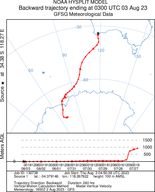
Image: Back trajectory of the air mass that reached Bluff Knoll on Thursday, August 3, 2023. Source: NOAA
As you can see in the image above, the frigid air that dropped snow in WA on Thursday came straight from the ice shelves in Antarctica.
Weatherzone operates Opticast, an ultra-local forecasting system, independently proven to be the best performing of its type in Australia. Providing an unprecedented level of accuracy and precision, Opticast rapidly updates every 10 minutes, intelligently adapting to local observations, and corrects forecasts based on historical evidence. Wherever you are based, we can provide you with the most accurate nowcasting and forecasting data out to 14 days so that you can mitigate operational and safety risks, and plan to make the most of severe weather windows. For more information, please contact us at apac.sales@dtn.com.


