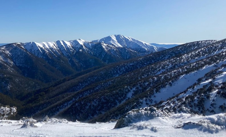
Do the Australian Alps – as in the mountains of our southeast mainland – really get more snow in winter than the Swiss Alps?
It’s one of the oldest myths in Australian weather-related folklore, and it reared its head again last weekend, when New South Wales premier Chris Minns took to social media after heavy snowfalls on Saturday to post:
“It’s hard to believe – but these Alps in the Snowy Mountains receive more snow than the Swiss Alps in Winter.”
While the claim makes for a great headline, settling the debate between mountain ranges on opposite sides of the globe requires precision weather forecasting and rigorous historical data. Understanding these complex alpine patterns is essential for everything from tourism to water management.

This myth has been around for decades, perhaps longer. In the very first minute of a 1957 documentary called Roof of Australia, the narrator says in his old-school very British Australian accent that Australia has “snowfields larger than those of Switzerland”.
But is it true?
The short answer is no, absolutely not, and here are the numbers that prove it.
- Switzerland’s area is 42,285 km²
- The Swiss Alps comprise approximately 60% of Switzerland’s total area, which is 25,370 km²
- By comparison, the Australian Alps Bioregion is approximately 12,300 km²
- So the Aussie Alps are only half the size (and height, but that’s a different story!) of the Swiss Alps
The word “bioregion” is pretty important here. Bioregions are large, geographically distinct areas of land with common characteristics such as geology, landform patterns, climate, ecological features and plant and animal communities.
Australia has 89 of them (according to the Federal Government), and the Australian Alps Bioregion takes in land all the way from Mt Baw Baw east of Melbourne to the Brindabella Ranges west of Canberra.
But here’s the crucial point.
While the Australian Alps bioregion is only half the size of the Swiss Alps, the part of the region that holds significant winter snow is even smaller. That’s because the Australian Alps Bioregion includes snow-free slopes and valleys below the winter snowline.
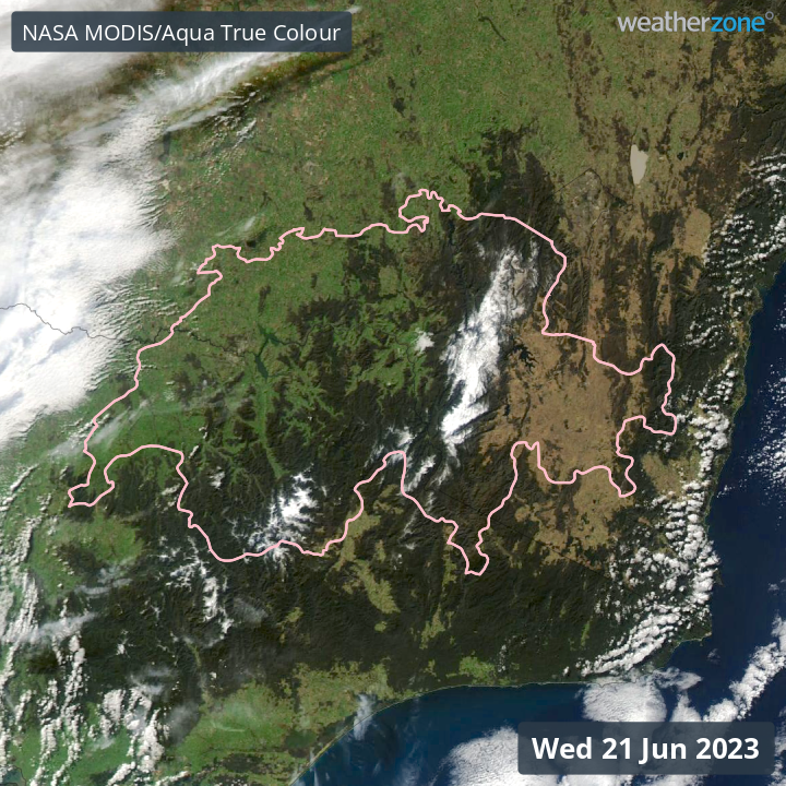
Take a look at the image above, which is to scale. The pink outline is Switzerland if it happened to be located in our corner of the world, and we’ve placed it in the general vicinity of the Australian Alps Bioregion.
Starting to see the picture? The satellite image was taken on June 21, when decent early season snow had fallen throughout the mountains.
As you can see, the area of snow-covered land is still pretty scattered, with only one or two large concentrations of snow-covered terrain – the largest of which is in NSW.
Bottom line: we don’t have anything even remotely close to the amount of snow that would cover the Swiss Alps (remember, the Alps comprise 60% of Switzerland).
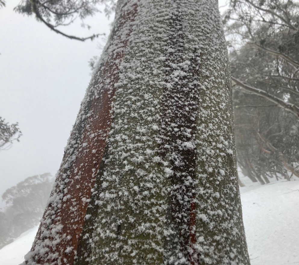
But at least we’ve got a bit of snow. We also have snow gums, which are the most beautiful trees of any alpine region in the world.
And hey, we’ll take Tim Tams over Toblerone any day of the week.
DTN APAC has the backing of a full team of dedicated, fully-qualified meteorologists with collective decades of forecasting experience. To find out more about how they can help your business address weather related risk, please visit our website or email us at apac.sales@dtn.com.


