Prosper in a dynamic world
Search

Tropical Cyclone Freddy possible over Coral Sea

The low pressure system that caused flooding in central QLD earlier this week could soon become a tropical cyclone over the Coral Sea.

The sequence of satellite images below shows a tropical low located around 500 km to the east of the Qld coast this morning, near Willis Island.

Tropical Cyclone Freddy possible over Coral Sea

Earlier this week, this low helped produce more than one metre of rain in parts of central eastern Qld, resulting in major flooding in some areas. Proserpine Airport picked up more than 800 mm of rain during this event and is already having its wettest January since 1974.

But with the tropical low now 500 km offshore and moving further away from Qld, rain has eased along the state’s east coast and floodwaters are receding.

Looking ahead, the low is likely to gain strength as it moves further away from the Qld coast over the next few days, drawing energy from the warm surface of the Coral Sea.

Based on current model guidance, the low has a moderate to high chance of becoming a tropical cyclone between now and Saturday. If it does reach tropical cyclone strength while still inside Australia’s area of responsibility (west of longitude 160º E), it will be named Freddy and become the third system named by Australia so far this season.

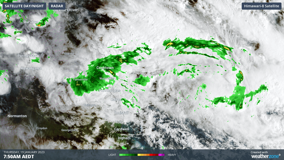
This tropical low/cyclone is not expected to have any direct impact on mainland Australia from now on. However, a monsoon trough extending towards its west will cause heavy rain over far northern Qld in the coming days.

Latest news

Satisfy your weather obsession with these news headlines from around the nation, and the world.

High tropical cyclone risk near northern Australia this week

A tropical low currently developing over the Timor Sea has a high chance of becoming a tropical cyclone later this week, with a possibility of landfall somewhere in the Northern Territory or Western Australia. Key industries could be impacted including Ports, Mining, Transport, and Agriculture. The satellite images below show cloud circulating around the developing […]

Madden-Julian Oscillation increasing tropical cyclone potential for northern Australia industries

Sea surface temperatures exceeding 31°C off the coast of northern Australia and an active phase of the Madden-Julian Oscillation (MJO) are increasing the likelihood of early-season tropical cyclone activity, with hints of the season’s first tropical cyclone coming as early as next week. Tropical cyclones require sea surface temperature of 26.5°C or warmer to develop, […]

Tropical cyclone season begins with warm oceans surrounding northern Australia

The 2025-26 tropical cyclone season has begun with abnormally warm oceans surrounding northern Australia, signalling an increased risk for severe tropical cyclones in the coming months. The Australian tropical cyclone season runs from November 1 to April 30. During this six-month period, there are usually about 9 to 10 tropical cyclones in the Australian region, […]

7.8 million lightning pulses detected by DTN’s Total Lightning Network over Australia in one week

A barrage of thunderstorms battered large areas of eastern and northern Australia over the past week, producing close to 8 million lightning pulses across the country and more than 4 million over Queensland alone. DTN’s Total Lightning Network (TLN) detected around 7.79 million lightning pulses above Australia last week. This lightning was observed over every […]