
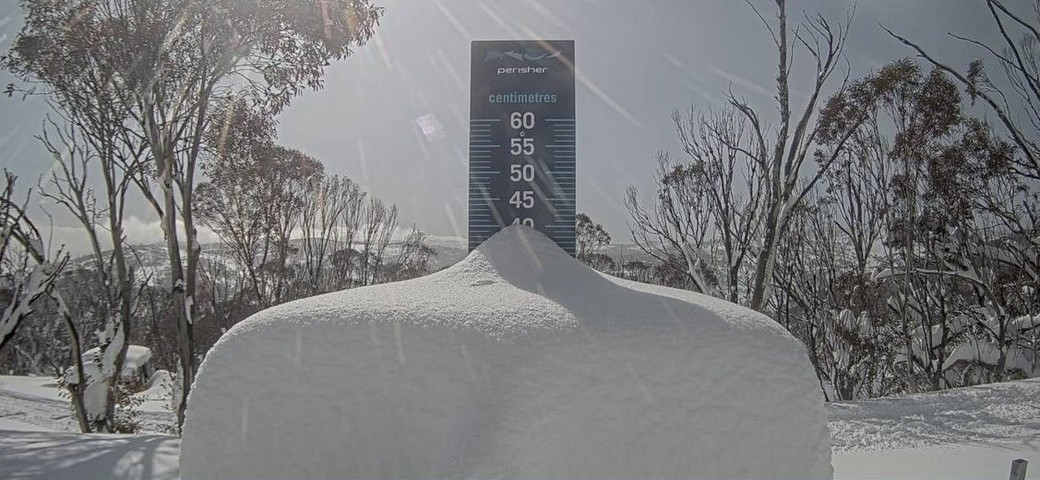
One of the heaviest snowfalls of the 2022 Australian snow season fell over the weekend across parts the NSW and Victorian Alps, which should contribute to healthy hydropower lake levels this spring.
It’s not unusual to see heavy September snowfalls in the Australian Alps. Indeed, peak season depth has been recorded more frequently in September than any other month, and Falls Creek and Hotham in Victoria are now claiming a deeper natural base than at any time of the season since 2018.
All the same, this was still a significant snow event, which sets up the higher alpine resorts nicely for the last two weeks of the season.
The date-stamped image below shows the snow stake at Perisher this morning. Bear in mind that the table is cleared every day, so that’s not the entire weekend’s snowfalls – just the impressive accumulation from Sunday into Monday morning.
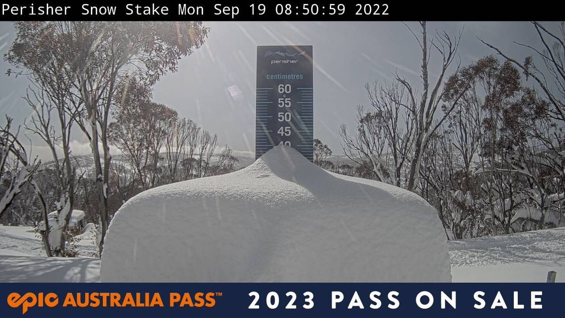
Image: Not the worst sight on a sunny September morning. Source: Perisher.com.au.
Some of the totals reported by the resorts are pretty staggering:
- Perisher (NSW) is calling 65 cm from this storm in total.
- Hotham (Vic) is calling 61 cm.
- Falls Creek (Vic) is calling 54 cm.
- Thredbo (NSW) is calling 53 cm.
At lower levels below about 1500 metres, it was rain for most of the weekend until snow arrived on Sunday night with a burst of slightly colder air. That means that Australia’s lowest mainland ski resort, Mt Baw Baw, had a pretty soggy time of it before 8 cm of snow finally fell last night.
But overall, this was as mentioned a very significant September snowfall, which has now mostly cleared with only very light snow flurries persisting today on the higher peaks.
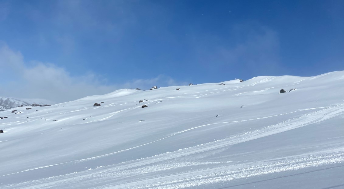
Image: Tasty conditions out wide at Perisher on Monday morning. Source: Steve Smith.
Tuesday looks fine in the mountains, but from Wednesday through to Sunday, rainfall is on the forecast with temperatures not cool enough to freeze the precipitation.
This is typical of spring weather when temperatures begin to warm, melting the snowpack created in winter. This snowmelt may be accelerated the additional rainfall this week, with the runoff consisting of both snowpack melt water and the rainfall.
Snow melt and rainfall in the Snowy Mountains region are captured by the Snowy Scheme’s complex network of aqueducts, trans-mountain tunnels and reservoirs. This water is then channeled to nine power stations to produce hydro-electric power.
The snowmelt and above average rainfall forecast this spring are likely to lead to healthy hydro lake levels this season, which can then be converted into hydro power.
Weatherzone provides 14-day forecasts across the National Electricity Markets (NEM) for many variables, for more information, please contact us at apac.sales@dtn.com.




