A wintry blast has hit southeastern Australia this week, with temperatures plummeting for the first time this year. Canberra’s temperature dropped to a chilly –2.6 degrees Sunday night, which was 9 degrees below April’s average and the coolest night since August last year.
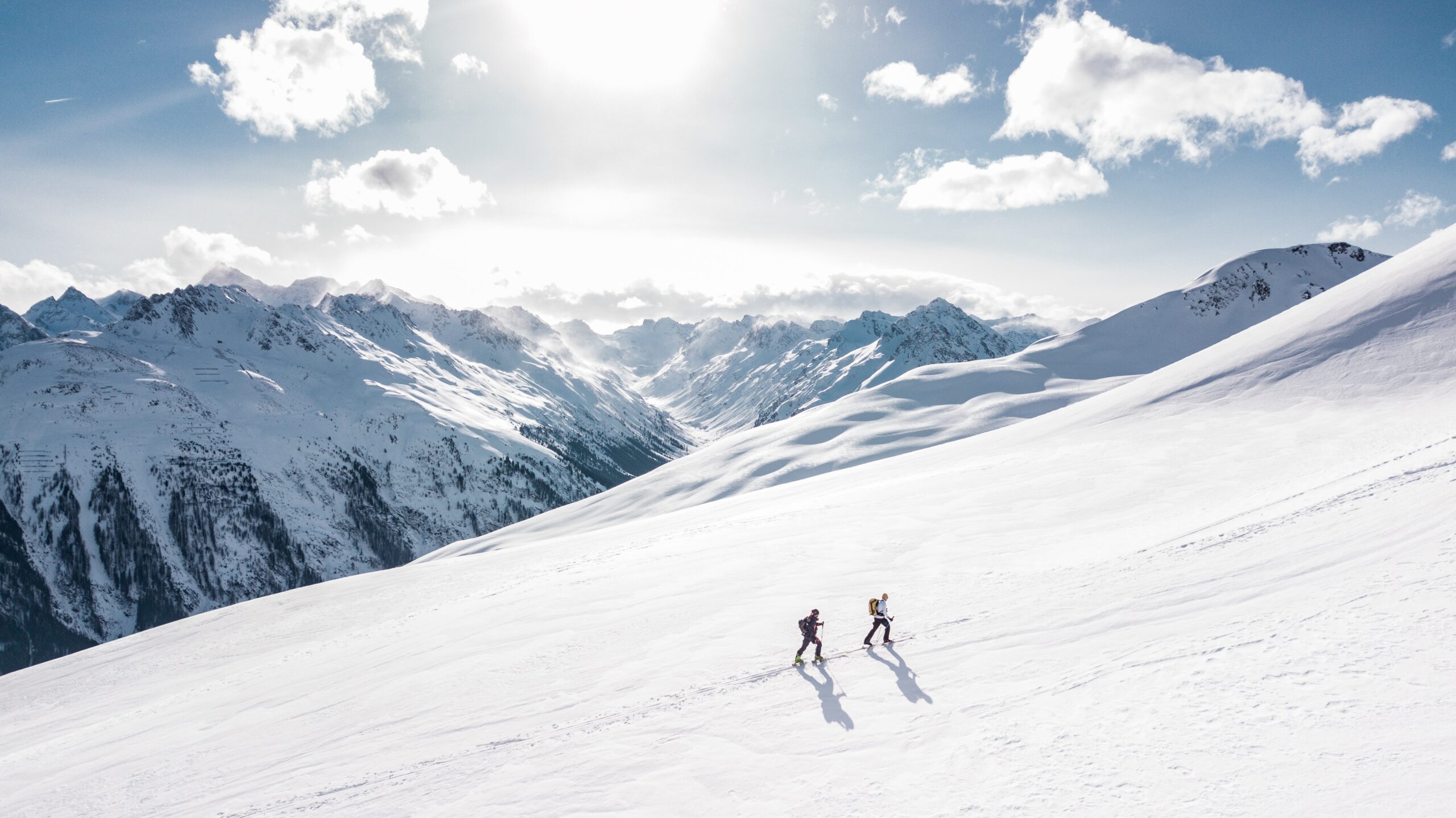
The chilly blast also started Australia’s snow season off with a bang, bringing 10cm of snow to Thredbo earlier this week.
A strong cold front was responsible for this, pushing Antarctic air into Australia. Cold fronts are more common during the winter months and are one of the features that bring snow, cold temperatures, fierce winds, and severe weather.
Is this a sign of the winter to come for the National Electricity Market (NEM)?
Firstly, let’s take a look at the key climate drivers at play during this winter.
La Nina has officially ended, with the Pacific Ocean circulation set to remain neutral throughout winter, which will not influence our winter.
Across the other side of Australia lies the Indian Ocean, which has its own circulation like La Nina. Some climate models indicate that a negative Indian Ocean Dipole (IOD) may develop during winter. However, it is worth noting that model accuracy is generally lower at this time of year than at other times.
During a negative IOD, warmer than normal waters off north-western Australia, feed moisture into our mid-latitude cold fronts which effectively drag moisture, rainfall and cloud across southern Australia. Winter temperatures during such an event are in most cases near to slightly below average.
Cold fronts deliver moisture and cold air to the Australian Alps during winter, which are both a recipe for a healthy snow pack. So, this winter we are relying on cold fronts to dump large amounts of snow.

So, will we see more or less cold fronts than normal this winter and will this be a good year for hydro in Australia?
Overall, cold front activity and wind power generation is anticipated to be around normal this winter, as there are no major climate drivers influencing one way or the other. However, cold front activity will increase and decrease randomly, as the Southern Annular Mode (SAM) switches between negative and positive phases respectively.
The SAM refers to the nonseasonal north or south movement of cold fronts. When SAM is negative generally cold fronts pass further north than average, generating cool and windy conditions, rain and potentially snow for the southern NEM in particular.
The opposite occurs when the SAM trends to positive, wind power slackens and the southeastern NEM becomes dry due to a reduced number of rain bearing fronts moving across the NEM.
Unfortunately, SAM can only be predicted up to two weeks out and it oscillates between positive, negative and neutral phases every one to two weeks.
Overall, the major hydro catchments in the NEM forecast to observe a normal to above normal snowpack this winter.
For more information on the winter outlook, snow pack and wind/solar forecasts please contact us at business@weatherzone.com.


