
Challenging conditions for firefighters in Vic and SA have eased as a rainband and cooler temperatures bring much-needed relief.
Temperatures soared into the 40s over the weekend across the two states, with the hot, dry and windy weather causing extremely dangerous fire danger.
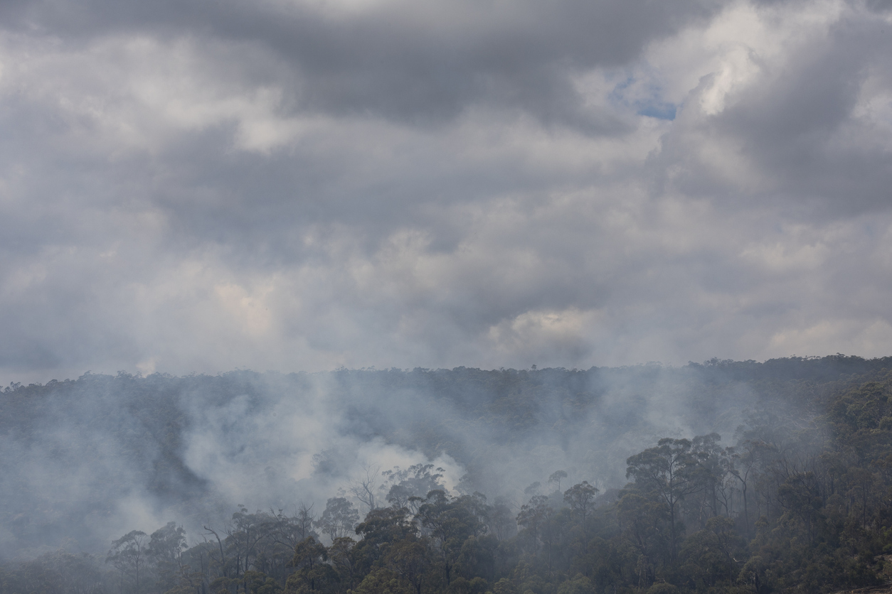
The onerous weather provided a challenge for firefighters working to contain out of control fires burning in the Grampians, Vic, which had already burnt more than 76, 000 hectares.
Despite the challenging 48 hours, fire crew were able to contain the two fires burning in the Grampians as a cool and wet change arrived in Vic. Temperatures dropped around 10°C in four hours in Melbourne as the southerly arrived on Sunday evening.
A cold front and associated low pressure trough sweeping the south of the country has brought some of the heaviest rain in four to six weeks across the state. The largest totals fell across western Vic and southeastern SA with 10 to 20mm observed in the 24 hours to 9am on Monday, January 6.
The image below shows the rain falling across much of Vic on Monday morning, with some heavy rainfall over Melbourne.
Image: Himawari-9 satellite and radar images for the three hours leading up to 11am AEDT on Monday, January 6.
Melbourne already observed 21.2mm of rain in the three hours between 9am and midday on Monday. The rain impacting the state will continue into the evening before moving into NSW and Qld.
One computer model suggests that by the end of Monday parts of Vic, southeastern SA and NSW could see 20 to 40mm end up in the gauges.
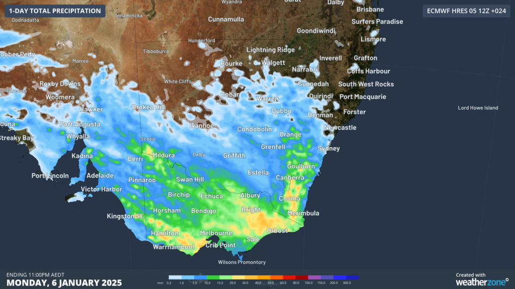
Images: 24-hour rainfall forecast up to 11pm AEDT on Monday, January 6, according to ECMWF
This dampening rain is good news for emergency services across the state that have been battling serious fire conditions for the past couple of weeks. While the rain is helpful for fire crews, the rainfall will not be sufficient to break the established drought conditions-
Temperatures will also remain cool for several days, before temperatures are expected to soar into the mid 30s to 40s later this week which will likely elevate fire danger once more.
Working in often severe conditions in the high-risk fields of forestry and emergency, our consolidated weather services can ensure full situational awareness for you and your team.
DTN APAC serves the forestry and emergency sectors, delivering trusted weather data and severe weather alerting to maintain safety, protect your assets and underpin your planning.
Weatherzone’s trusted nowcasting and forecasting system, OpticastTM, is independently proven to outperform other industry models, allowing you to respond rapidly to changing conditions. Opticast can ingest data from your on-site weather observation equipment, ensuring your forecast is customised to your local microclimate. From nowcasting and 14 day forecasting to seasonal outlooks, you have powerful, hyper-local weather alerting and intelligence, giving you decisive confidence when it’s most needed.
With lightning a prominent cause of forest fires throughout Australia, Weatherzone’s Total Lightning Network offers real-time detection and unsurpassed accuracy of lightning strikes to within 200m. Based on a vast sensor network, both intra-cloud and cloud-to-ground strikes are located, ensuring you are alerted when severe weather is building and threatening your teams, assets and infrastructure. When volatile conditions increase the ferocity of fire it’s imperative you have lead-time to enact safety plans, keeping your people out of harm’s way.
Your weather intelligence is accessible across all devices in your network via our Weatherguard App, and your customisable interface.
We are there for you when you need us the most – 24/7, 365 days a year. For more information please visit our website or email us at sales.apac@dtn.com.
Featured image: Istock/Kolbz




