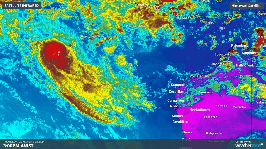
Tropical Cyclone Robyn has formed inside Australia’s area of responsibility, becoming the first named cyclone of the 2024-25 season.
Robyn became a category one tropical cyclone over the eastern Indian Ocean on Thursday afternoon, forming roughly 740 km to the west southwest of the Cocos (Keeling) Islands at about 2pm AWST.
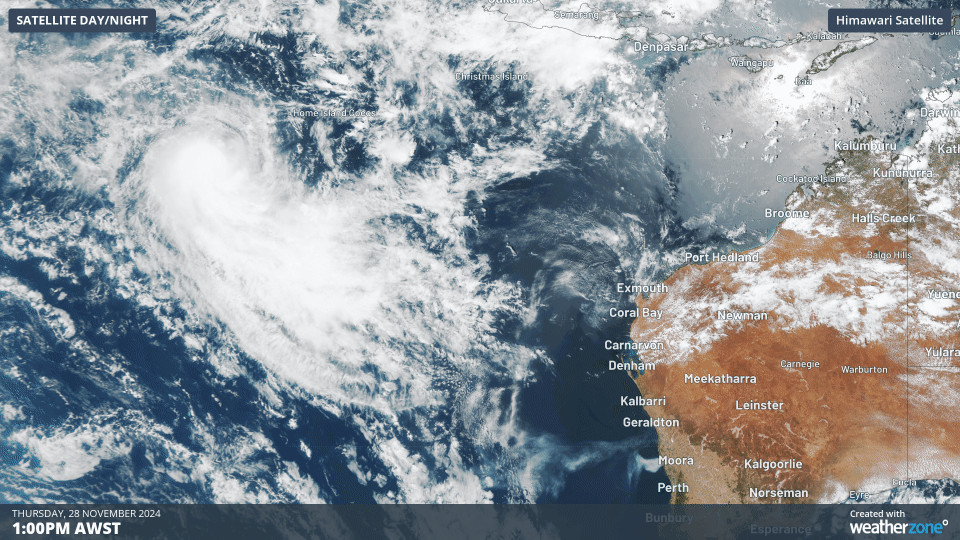
Image: Visible satellite images showing Tropical Cyclone Robyn to the northwest of Australia on Thursday afternoon.
Having developed inside the northwest corner of Australia’s area of responsibility for tropical cyclone monitoring, the system was named by the Bureau of Meteorology. This is the first named tropical cyclone of Australia’s 2024-25 season, which runs form November until April.
Tropical Cyclone Robyn is expected to move towards the south on Friday before turning towards the west and weakening from this weekend. On this track, Robyn poses no direct threat to the Australian mainland or the Cocos (Keeling) Islands.
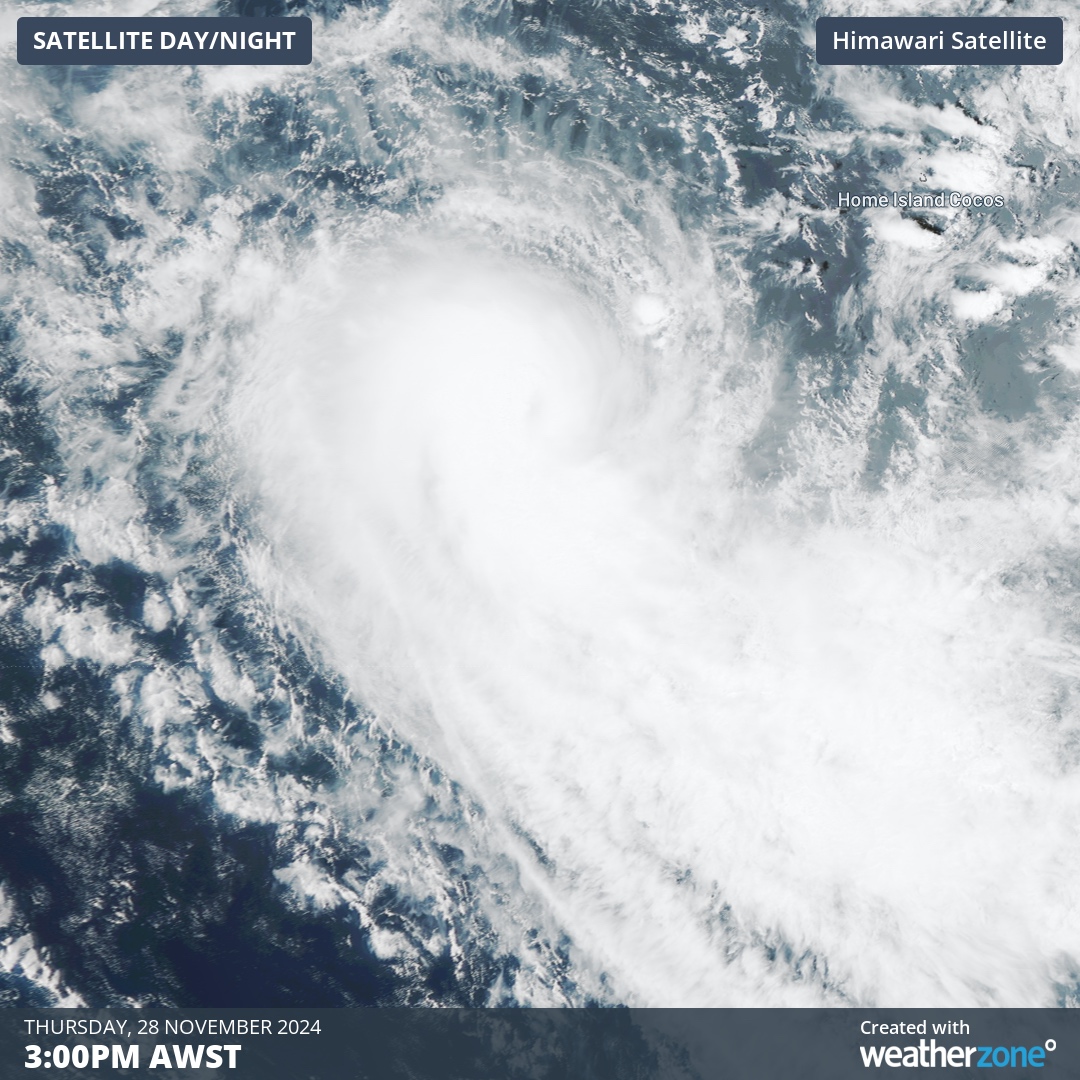
Image: Tropical Cyclone Robyn on Thursday.
Robyn’s development on Thursday coincides with an active pulse of the Madden-Julien Oscillation (MJO) passing to the northwest of Australia. This coincidence is unsurprising because the MJO passing near Australia typically increases the likelihood of rain, thunderstorms and tropical cyclones in the Australian region.
In an average tropical cyclone season, we typically see around 9 to 11 tropical cyclones inside Australia’s area of responsibility.
As the climate delivers increasingly severe weather events, their potential to impact your business operations grows.
DTN APAC, specialises in industry-leading forecast, alerting and threat analysis of tropical cyclones, offering you expert, customised solutions when the weather turns wild.
Providing rapid-update forecast information, we alert you to any low-pressure system gaining power within your region and, unlike other providers, can track its development out to 7 days. This gives you the time to prepare and safeguard your staff, sites and assets.
You will have the most precise weather intelligence charting rainfall, wind speeds and potential storm surges to help you make critical decisions quickly. Whether it’s adjusting key work schedules, protecting your staff or securing your site, we have the alerting capability to keep you steps ahead of the storm.
We will support you, 24/7, keeping you informed and making your critical decisions easier. For more information please visit our website or email us at sales.apac@dtn.com.


