
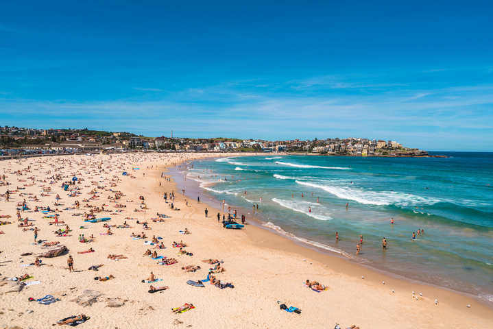
A sustained run of heat will grip Sydney over the coming week, with a string of hot days and uncomfortable nights giving the city an early taste of summer.
A blocking high pressure system centred over the Tasman Sea will allow warm northerly component winds to flow over eastern NSW every day between now and the middle of next week. This stagnant weather pattern will allow hot air to gradually build over the Sydney Basin during the next 5 to 7 days, causing a relentless run of hot days and nights.
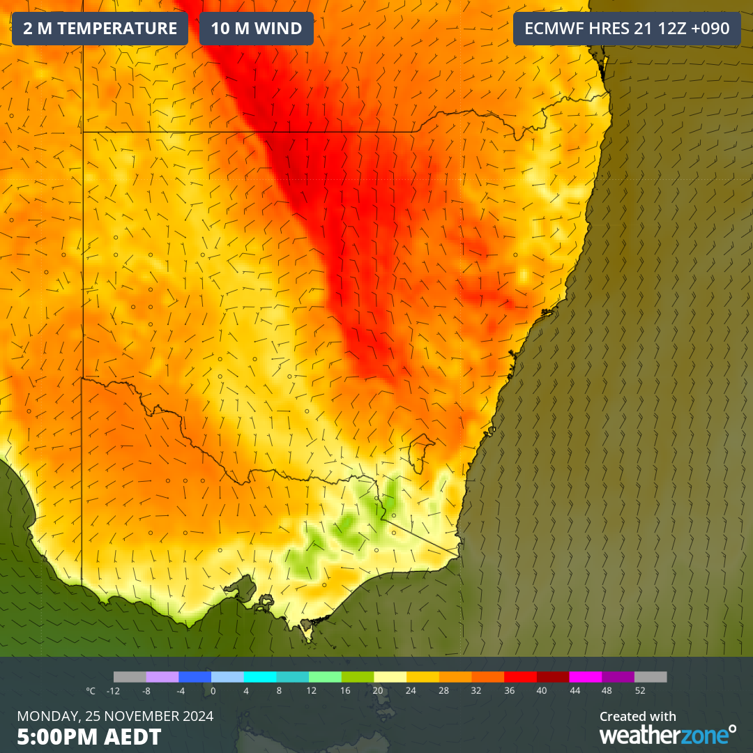
Image: Forecast air temperature and wind at 5pm AEDT on Monday, November 25, 2024.
Temperatures in the city of Sydney and its eastern are likely to reach the high-twenties this weekend and then rise further to around 29 to 30°C from Monday to Wednesday or Thursday next week.
While sea breezes will help limit heating in Sydney’s east over the coming week, these onshore winds will also raise the humidity and make it feel a few degrees warmer than it actually is. Dew point temperatures in eastern Sydney are expected to reach the low-twenties from Monday to Wednesday next week. These dew point temperatures will make it feel muggy and uncomfortable.
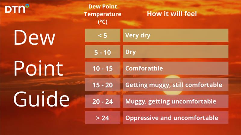
Image: Dew point guide.
Further west and away from the moderating effect of sea breezes, temperatures are going to soar in western Sydney.
Penrith is forecast to reach the low-thirties on Friday and Saturday, the mid-thirties on Sunday and Monday and high-thirties from Tuesday. There is some model uncertainty regarding the heat beyond Tuesday, although the latest computer model guidance suggests that Wednesday and Thursday could also be hot, with maximums possibly reaching the mid- to high-thirties.
Overnight temperatures will also be noticeably warm across Sydney between the hottest days of this this hot spell, particularly near the coast. Minimums in Sydney’s east are expected to stay up around 20 to 21°C each night from Monday to Wednesday, which will make hard to cool down from the heat of the day.
These temperatures are abnormally warm for this time of year and would be more common in summer. Minimums will be about 3 to 5°C above average over the coming week in Sydney east, while maximums are expected to run around 5 to 10°C above average across the Sydney Basin.
At this stage, Sydney should see some brief relief from the heat late next week, although there are early signs that another round of warmer air will return in the opening week of December.
For detailed forecasts on the heat and humidity please visit our website or email us at sales.apac@dtn.com.
Title image credit: iStock / holgs




