Today, November 1, marks the beginning of Australia’s 2024-25 tropical cyclone season. Here’s what to expect over Australia’s tropics this season and what each cyclone will be named.
The Australian tropical cyclone season runs from the start of November to the end of April. While tropical cyclones can occur in the Australian region at any time of year, the vast majority occur in this six-month period when conditions are more favourable for cyclogenesis in the Southern Hemisphere.
How many tropical cyclones will we see this season?
Climate change is reducing the frequency of tropical cyclones in the Southern Hemisphere, including the Australian region. In the modern climate, we typically see around nine tropical cyclones in Australia’s areas of responsibility each season.
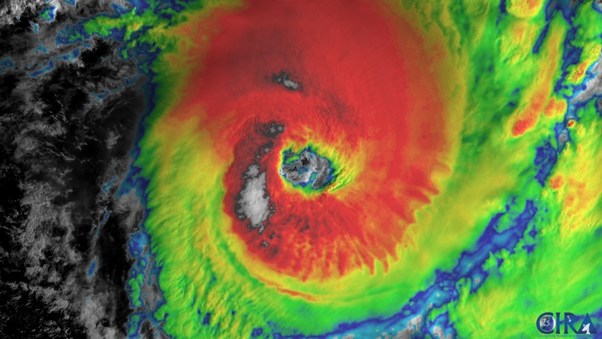
Forecast models suggest that we should see near to above average tropical cyclone activity around Australia this season, with a higher risk of severe tropical cyclones due to above average sea surface temperatures in the Australian region.
On average, around 4-5 tropical cyclones that form in Australia’s area of responsibility each season become severe (category three or above), and roughly four make landfall in Australia. We have never seen a season without at least one tropical cyclone crossing the Australian coastline.
Tropical cyclone names this season
The list of names for tropical cyclones that form in Australia’s area of responsibility this season has already been determined by the Bureau of Meteorology. The list runs in alphabetical order and alternates between male and female names.
The first tropical cyclone to form in Australia’s area of responsibility this season will be named Robyn, followed by Sean, Taliah and Vince. Below are the names that will be assigned to the next 10 tropical cyclones that form in Australia’s region.
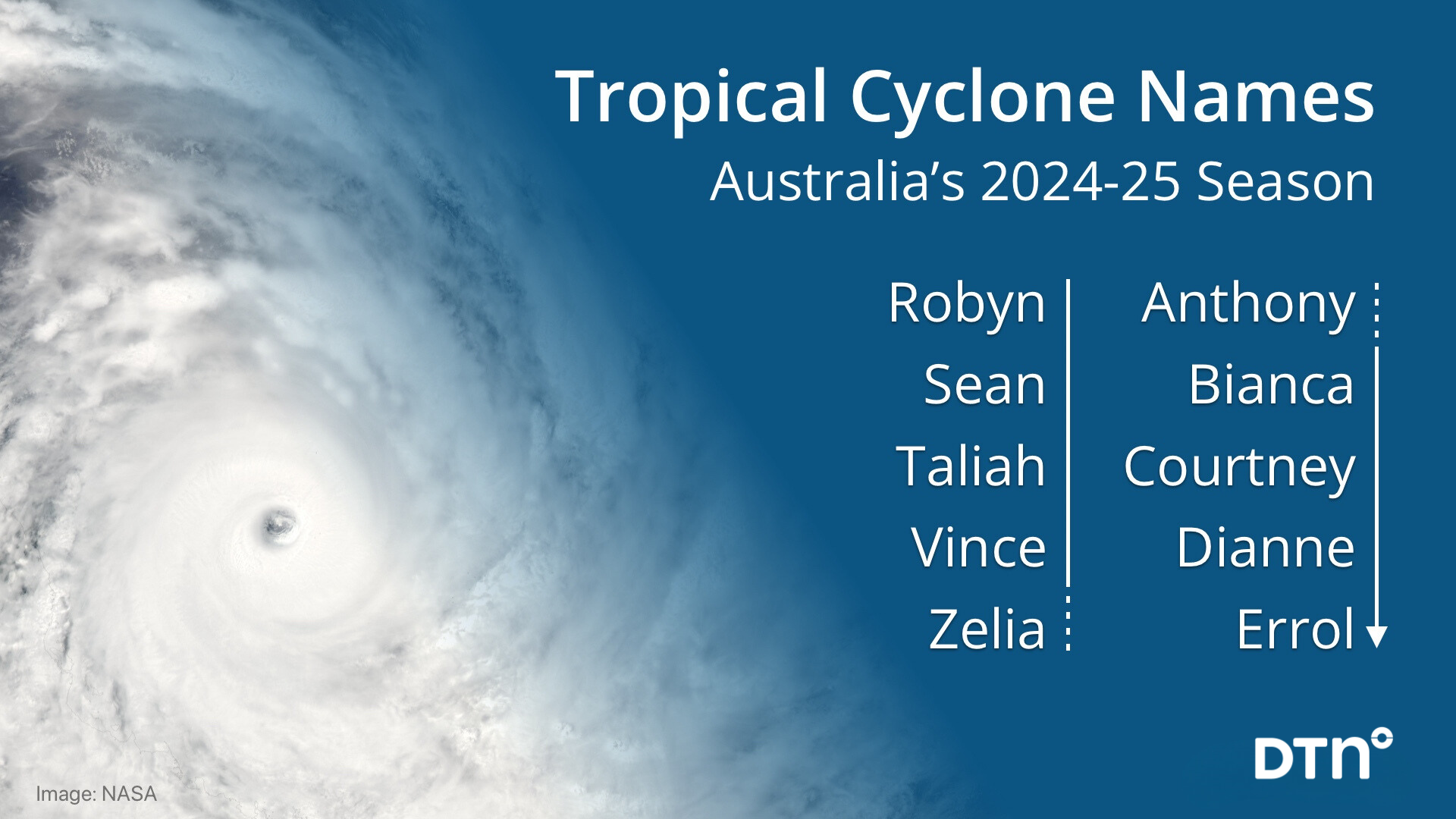
Image: Australia’s tropical cyclone names for the 2024-25 season.
While the 2024-25 tropical cyclone season starts today, we probably won’t see any tropical cyclone activity near Australia in the coming weeks. On average, the first tropical cyclone landfall in Australia occurs in late December or early January.
DTN APAC gives you a comprehensive tropical cyclone service that helps your enterprise prepare for the worst in the best possible way.
- As the climate delivers increasingly severe weather events, their potential to impact your business operations grows.
- DTN APAC, specialises in industry-leading forecast, alerting and threat analysis of tropical cyclones, offering you expert, customised solutions when the weather turns wild.
- Providing rapid-update forecast information, we alert you to any low-pressure system gaining power within your region and, unlike other providers, can track its development out to 7 days. This gives you the time to prepare and safeguard your staff, sites and assets.
- You will have the most precise weather intelligence charting rainfall, wind speeds and potential storm surges to help you make critical decisions quickly. Whether it’s adjusting key work schedules, protecting your staff or securing your site, we have the alerting capability to keep you steps ahead of the storm.
- We will support you, 24/7, keeping you informed and making your critical decisions easier.
For more information please visit our website or email us at apac.sales@dtn.com.


