
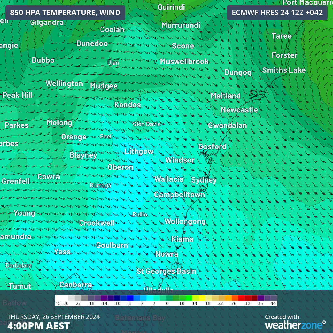
Thursday is going to be a wild day for Sydneysiders, with an uncomfortable mix of gale force winds, the wettest day since June 2024, and a feels-like temperature as low as 6°C all on the forecast.
The combination of a strong and icy southerly change and a thick rainband is behind the wintry weather on Thursday.
The map below shows the strong southerly change arriving in Sydney between 3 and 4am on Thursday, September 25.
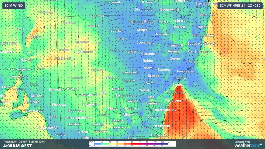
Image: 10-metre wind forecast at 4am on Thursday, September 26, according to ECWMF
Gale force winds are forecast along the coast, including Port Botany and Sydney Airport which could impact port and aviation operations on Thursday.
This southerly will cause temperatures to plummet, ending Sydney’s run of eight days in a row of 24°C or more, with the maximum on Thursday only set to make 15°C.
The combination of cold temperatures and strong southerly winds will make the temperature feel like 6°C at around 8am on Thursday morning. Moreover, the temperature at midnight tonight will be warmer than the temperature at midday on Thursday, with 20°C and 16°C forecast respectively.
The cold and windy day will also be accompanied by the most rainfall the city has seen since June 2024.
The map below shows that around 20 to 40mm is forecast across the Sydney basin on Thursday, September 26, in response to this rain band and southerly change.
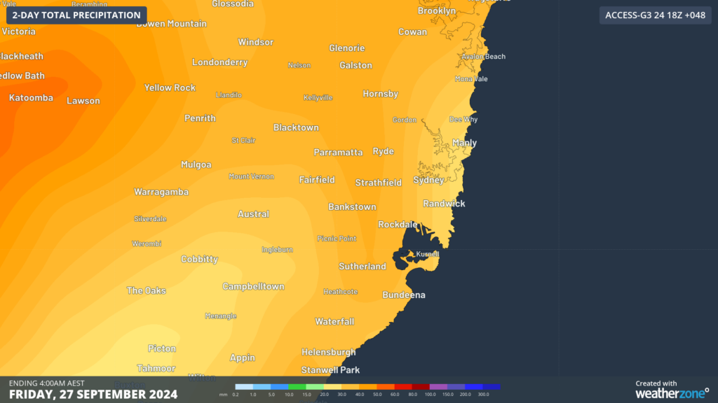
Image: Accumulated 48-hour rainfall to 4am on Friday, September 27 according to Access-G.
Rainfall should ease early on Friday morning, meanwhile temperatures should cool before warming up on the weekend.
As demands on ports increase globally, relying on accurate weather data is key to optimising port and logistic operations. DTN APAC, a DTN company, delivers insightful, data-driven forecasts to port operators, allowing harbour masters, vessel transport services and pilotage to make informed, weather-influenced decisions.
DTN APAC users have access to extensive weather data through an integrated dashboard plus the support of experienced, on-call meteorologists. We also deliver a full suite of metocean services, including wave and current modelling, data analysis and consulting. Please visit our website or email us at apac.sales@dtn.com.




