
A frigid airmass originating from Antarctica is on its way to Australia on Friday, with the southeastern states expected to shiver through a prolonged cold spell.
This airmass will arrive behind a cold front over the weekend and will linger over southeastern Aus well into next week.
The satellite image below shows the cold front approaching SA on Friday afternoon. Behind this cold front you can also see a broad area of speckled cloud. This is a tell-tale sign that a large mass of cold polar air has broken away from the Antarctic region and is venturing into the relatively warm mid-latitudes.
Image: Himawari-9 satellite image at 11:40am AEST on Friday, July 26.
A high pressure system will move in quickly in the front’s wake and will stubbornly remain over southern Australia until the middle of next week. This set up will direct chilly southerly winds over southeastern Australia for at least four days.
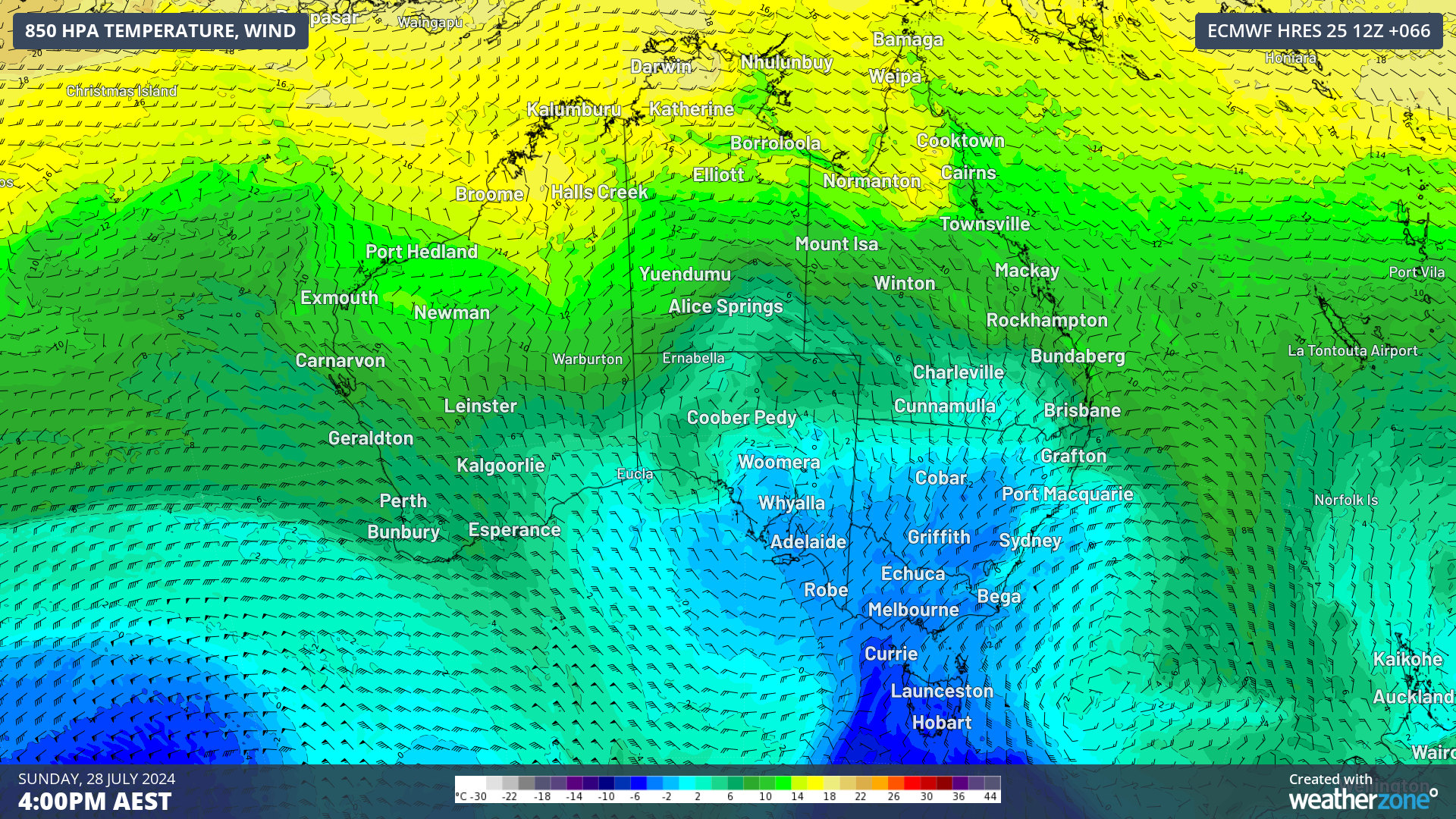
The images below show the cold airmass impacting parts of southeastern Australia on Sunday and lingering into Tuesday next week.
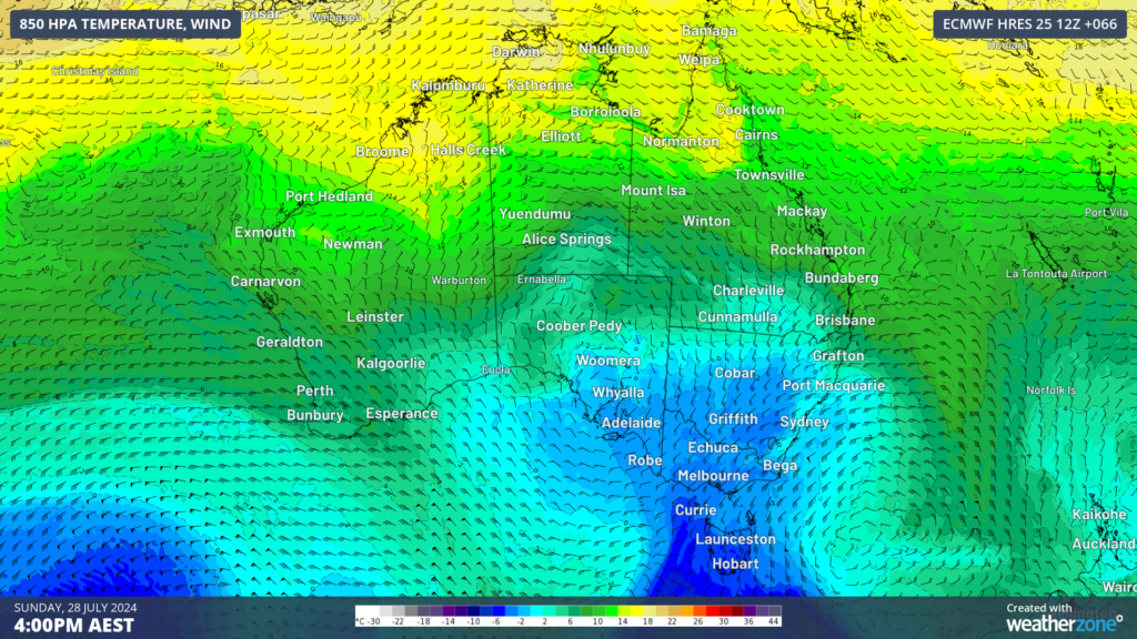
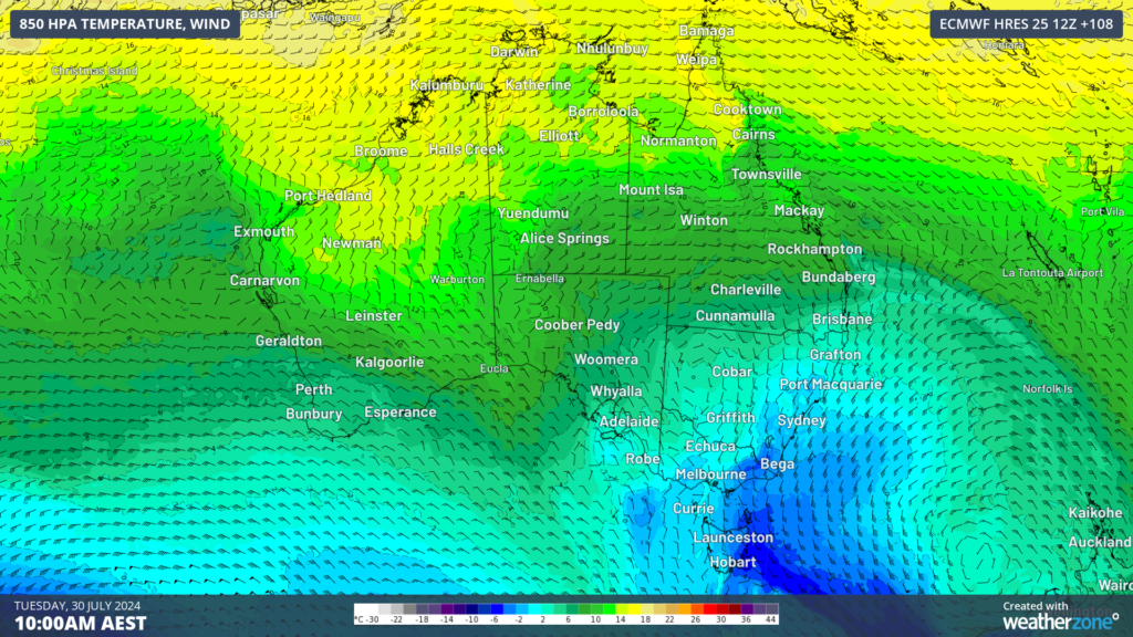
Image: 850 hPa temperature and wind forecast at 4pm on Sunday, July 28 (top) and 10am on Tuesday, July 30 (bottom) according to ECMWF
Daytime temperatures across the capital cities in the southeastern states will be around 2 to 3 °C below average for several days.
- Melbourne’s temperatures remain between 12 to 13 °C between this Saturday and Thursday next week, which is around 1 to 2 °C below average.
- Adelaide’s maximum will be 2 to 3 °C below average this weekend before warming up slightly next week.
- Hobart will see temperatures peak at around 10 to 12 °C for a four-day long stretch.
- Sydney’s temperatures will remain at least 1 to 2 °C below average from Sunday through to at least Thursday next week.
- Brisbane will also see a run of at least four days at nearly 2 °C below average from Monday next week.
- Brisbane’s overnight temperatures from Sunday night will be around 8 °C through to at least Thursday next week.
These temperatures will also feel much colder than actual with strong southerly winds increasing the wind chill. This is particularly true off the east coast of NSW, Vic and Tas from late Saturday as a low pressure system develops in the Tasman Sea and moves east towards New Zealand.
Weatherzone Business has grown to become the outright leader within the Australian energy market, serving wind, solar, hydro, trading, utilities and network companies.
You can’t control the weather, but you can gain precision insights to optimise your response. What lights us up is providing your energy business with tailored weather information to reduce your risk and keep you moving ahead of the curve.
Our services cover all aspects – from wind and solar generation to demand forecasts, wholesale markets to retail so, no matter where your company sits, we have solutions for you. We have worked closely with market participants to create products that meet the evolving needs of the sector, aiming to increase safety and profitability for our customers.
Benefit from the timely delivery of accurate weather information, allowing informed and effective decision-making. To find out more, please visit our contact page or email us at apac.sales@dtn.com.




