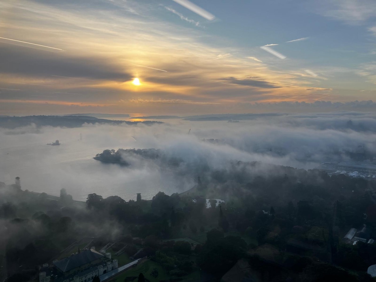
Thick fog crept across Sydney on Friday morning, halting ferry services across the harbour for several hours.
The fog formed in pockets of Sydney’s west around 4am and funnelled into Sydney’s east via the Paramatta river early Friday morning.
The fog that Sydney’s east experienced this morning is called advection fog, where light northwesterly winds drag the fog across the city centre from the western suburbs. It is not common for fog to form in Sydney’s east.
The images below shows the thick fog over Sydney on Friday morning.

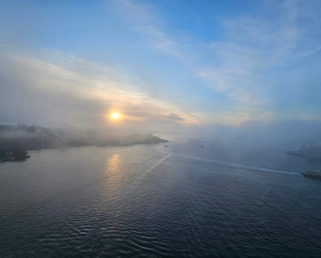
Images: Fog blanketing Sydney on Friday, May 17. Sources: Mitchell Hewson (top) and @rnr.w / Instagram (bottom)
This is the first fog Sydney’s east has seen this Autumn, under the influence of light winds and clear skies allowing the temperature to drop.
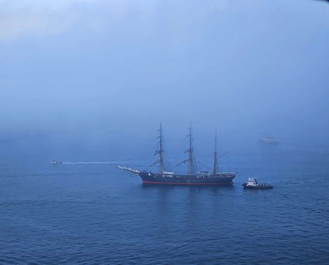
The thick fog over the harbour reduced visibility dramatically, which led to Sydney Ferries cancelling all ferry services.
NO SYDNEY FERRIES RUNNING: All Sydney ferry services have been cancelled due to heavy fog. Customers will need to use alternative transport. Consider catching a train or bus instead. There is no forecast for when ferry services will resume. pic.twitter.com/eoMpAHKbVd
— Sydney Ferries Info (@FerriesInfo) May 16, 2024
Fortunately, the fog cleared Sydney relatively quickly and ferry services have resumed.
While this fog affected ferry services, aviation and Port Botany were not affected by this event. The airport reported some mist and some lower cloud, but no reduction in visibility, allowing planes to take off and land as usual.
We won’t see a repeat event on Saturday morning with a strong southerly change expected to push into the city tonight.
Weatherzone forecasts fog risk, density, onset and clearance times out to seven days, which enables efficiency and safety. Weatherzone has developed a traffic light system for port and marine clients, with green having no impact on operations, yellow a moderate impact and red having a high impact.
We can alert fog down to the hour, giving an indication of its potential density, and we fine tune our models dependent on the individual port requirements and local topography. Weatherzone’s traffic light system enables ports to make decisions and plan well in advance.
Fog density alerts can also be set up, which go off up to 36 hours in advance. Of course, Opticast has many other weather solutions for ports, including alerts of thunderstorms and wind gusts. All the thresholds can be adapted to your individual port. For more information, please contact us at apac.sales@dtn.com.


