Tuesday’s powerful winds in Vic, resulted in power outages for more than 500,000 customers. According to Victorian Energy Minister Lily D’Ambrosio, this has been one of the largest outage events in the state’s history.
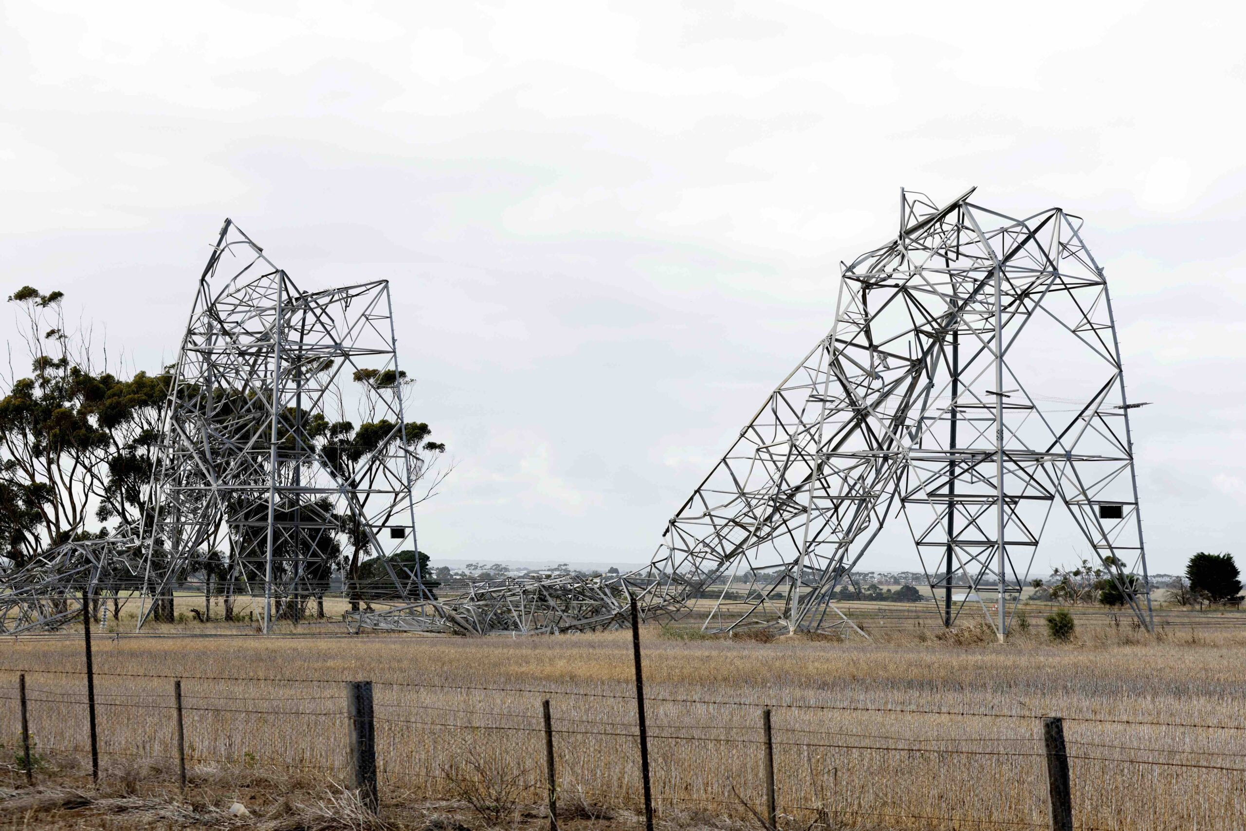
The wild weather brought down six transmission towers near Anakie, to the southwest of Melbourne on Tuesday afternoon. At the same time, the Loy Yang A power station was disconnected from the gird after it tripped.
The dangerous mix of destructive winds, extreme heat and thousands of lightning strikes causing damage to poles, wires and electrical infrastructure across parts of Vic on Tuesday.
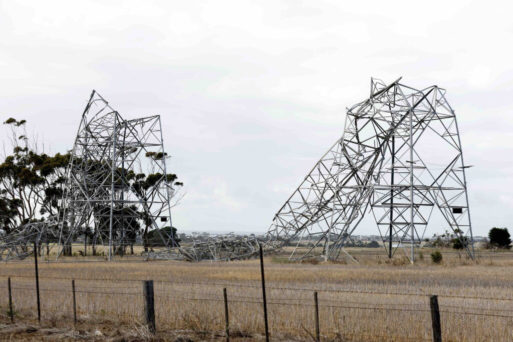
Image: Damaged transmission towers at Anakie, Source: AAP
The burst of ferocious summer weather was caused by a strong cold front and pre-frontal trough passing over the state, which caused a cold air mass from the Southern Ocean to clash with a much warmer air mass sitting over Australia’s southeast.
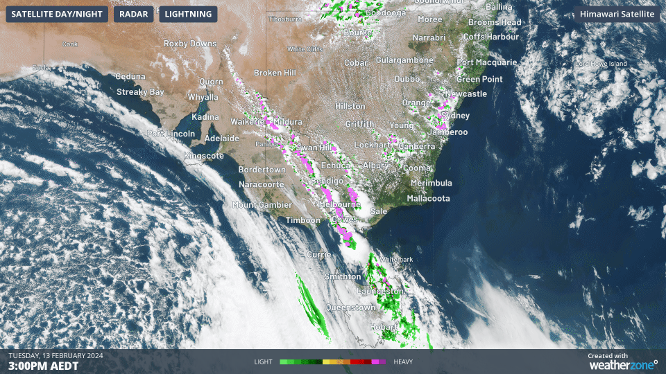
Image: A squall line around 1,500 km in length causes lightning across parts of four states on Tuesday afternoon.
This volatile weather pattern caused powerful winds and severe thunderstorms, which produced:
- A wind gust of 130 km/h at Mount Gellibrand shortly before midday, which is equivalent to a category two tropical cyclone
- Wind gusts of 126 km/h at Yarram Airport, 122 km/h at Avalon Airport, 119 km/h at Eildon Fire Tower, 117 km/h at Swan Hill, 115 km/h at Fawkner Beacon and102 km/h at Melbourne Airport
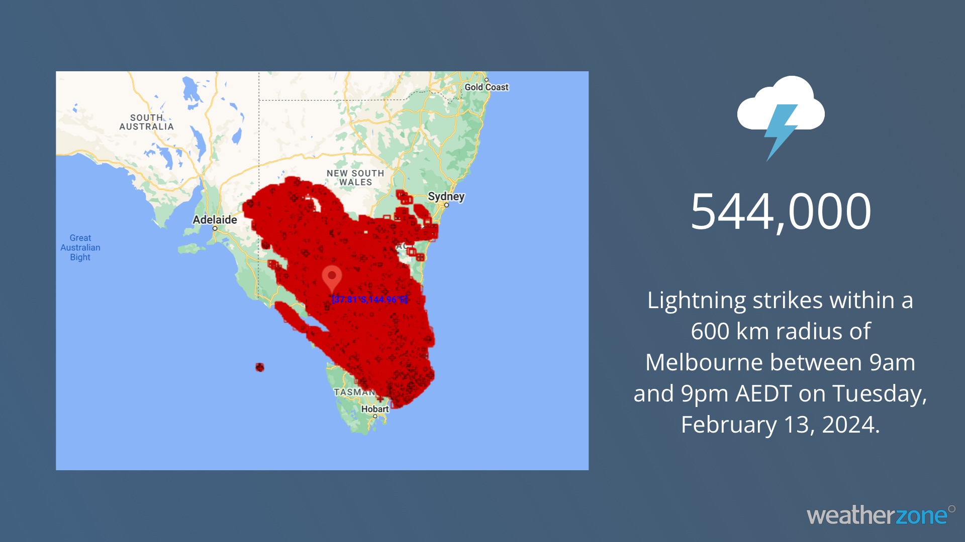
- 543,762 lightning strikes within a 600 km radius of Melbourne between 9am and 9pm AEDT on Tuesday
- Dry lightning that ignited new fires amid Extreme to Catastrophic fire danger ratings
- A massive squall line, which resulted in thunderstorms stretching roughly 1,500 km across parts of Vic, NSW, SA and Tas
- Large hailstones falling from fast-moving severe storms
Crews are actively working to restore power quickly to thousands of customers on Tuesday, enduring challenging weather conditions and fallen trees to repair the powerlines and infrastructure. However, due to the scale of the event DEECA Victoria warns that it could take days, if not weeks tor restore power to all those impacted in Vic.
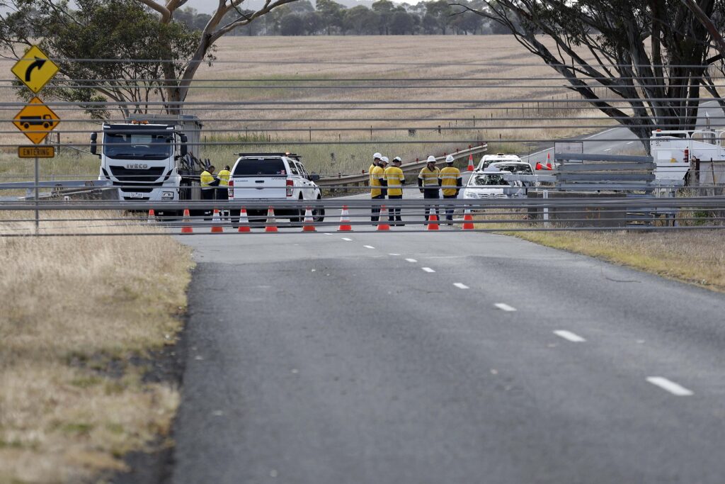
Image: Crew working to repair infrastructure, Source: AAP
DTN APAC, a DTN company, offers precise weather intelligence and alerting to protect your utilities network when severe weather, floods and fires threaten.
Over 80% of Australian transmission and distribution networks already rely on our proven nowcasting and forecasting out to 15 days. You can rest assured yours is protected by market-leading analysis. With this foresight you can gain lead time to prepare for possible outages, reduce risk and protect your people and profits.
You will never be left in the dark when conditions suddenly worsen. We deliver reliable, up-to-the-minute weather forecasts and analytical tools that give you the power to enhance your operational management and response to weather risk. Our Total Lightning Network is a globally proven solution that accurately identifies and alerts you to lightning strikes within your defined thresholds, supporting the safety of your team.
Your customisable interface has GIS mapping, showing multiple weather layers over your utilities network and offering full situational awareness. You can quickly recognise any threat to your assets in real-time. 24-hour asset monitoring allows you to track lightning, bushfires and other severe weather systems that approach your service territory.
Advanced and actionable analytics allow you to act decisively and improve your planning and outage response strategy. Storm Impact Analytics (SIA) is a state-of-the-art outage prediction tool which combines weather forecasts, regional and historical weather data, with operational data to support improved planning and decision-making during weather events. SIA has been able to forecast and support our customers during this event. See https://bit.ly/3HTPZzX for more details and testimonials. For more information, please contact us at apac.sales@dtn.com.


