
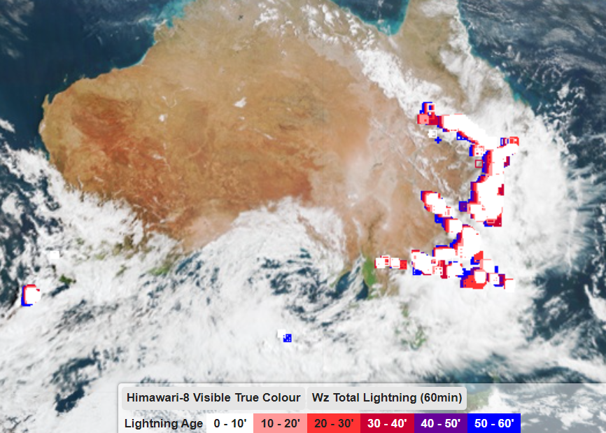
While all thunderstorms cause lightning and thunder, only a small proportion of the storms we see in Australia are considered severe.
So, what makes some storms more dangerous than others?
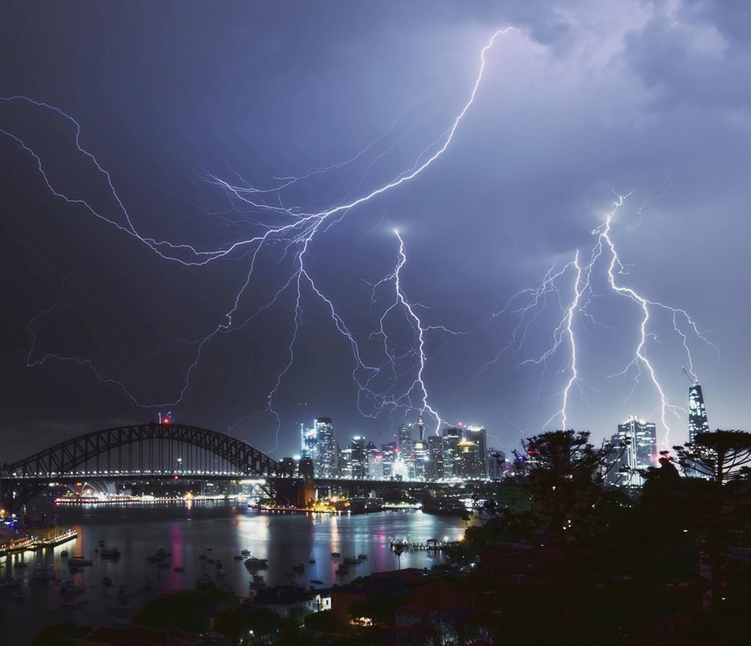
Image: Lightning strikes Sydney in spring 2020. Source: @glanzpunkt / Instagram
All thunderstorms require three key ingredients to form:
- An unstable atmosphere, meaning the air becomes cooler with height.
- Low-level moisture in the atmosphere.
- A trigger mechanism that causes air to rise from the surface.
When these three ingredients are available in greater quantities, thunderstorms are typically more intense and have a better chance of becoming severe.
The Bureau of Meteorology issues severe thunderstorm warnings in Australia when there is a risk that storms will produce at least one of the impacts listed in the image below.
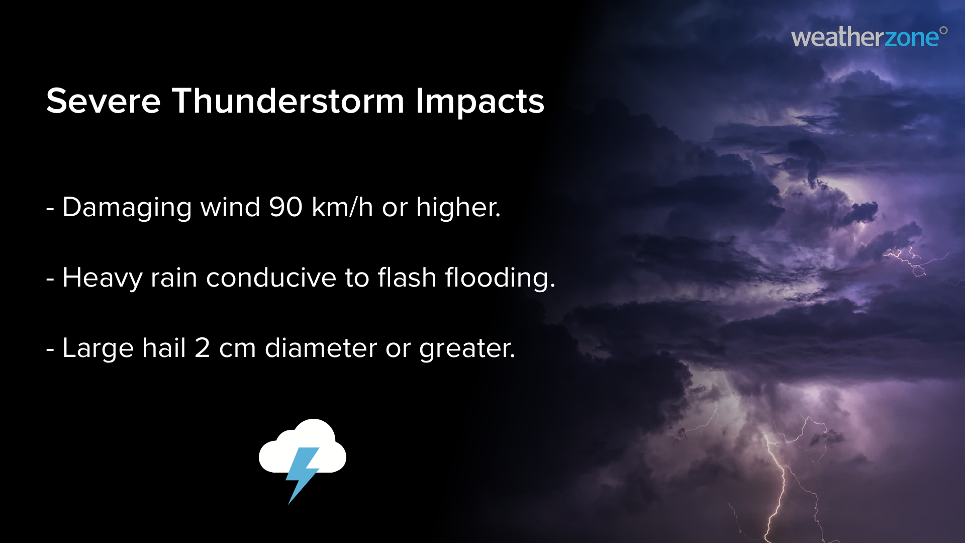
However, even in this select group of severe thunderstorms, some are more intense and dangerous than others.
The most destructive type of thunderstorms are called supercells. These powerful and rare and only form when there is enough wind shear in the atmosphere, which means the wind changes speed and direction with height, allowing the storm to start rotating. Supercell thunderstorms can produce:
- Destructive wind gusts above 125 km/h Tornadoes.
- Giant hail measuring more than 5cm in diameter.
- Extreme rainfall rates causing intense flash flooding.
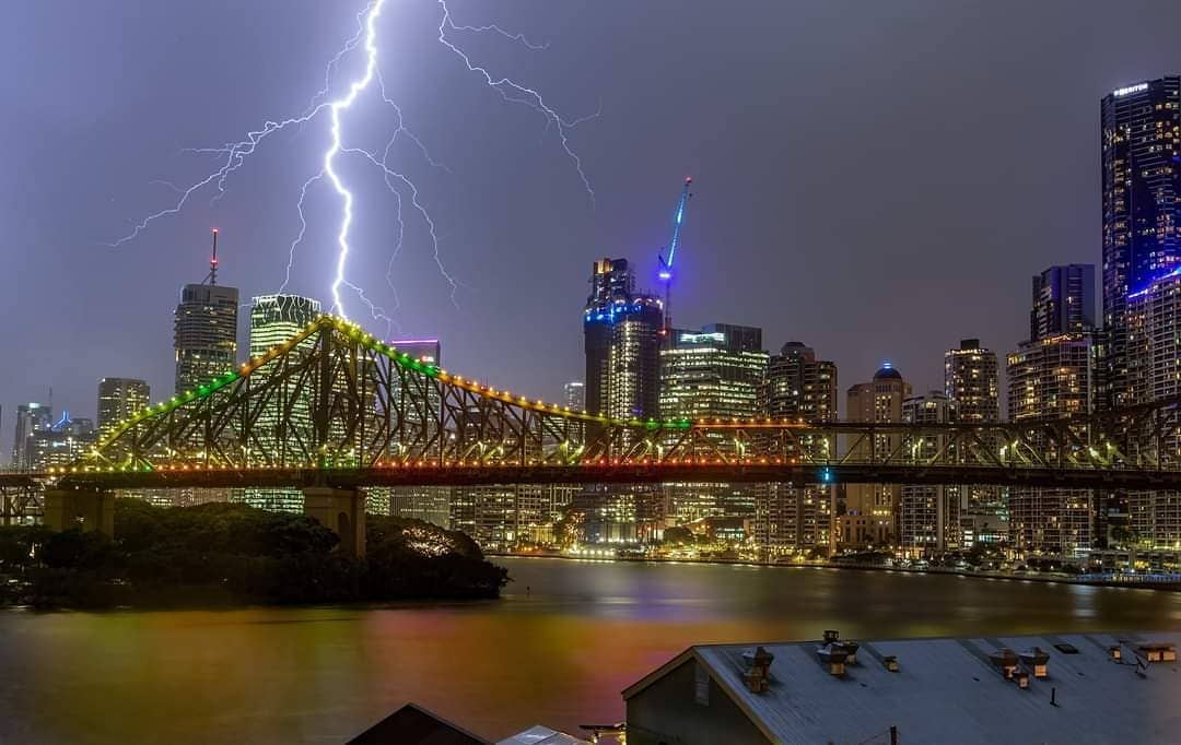
Image: Brisbane under a summer night storm in February 2021. Source: @chasing_photons / Instagram
Regular thunderstorms usually live for tens of minutes, while supercells can go on for hours. Their rotation also allows them to move in different directions to other storm cells surrounding them, which can make these savage storms very difficult to predict.
How can we help your business prepare for severe thunderstorms?
Weatherzone owns and operates the Weatherzone Total Lightning Detection Network, one of the most advanced networks of its kind in the world. The capability to detect strike accuracies down to 100m, supports dangerous thunderstorm alerting, which is imperative to outdoor operations and infrastructure.
The dangerous thunderstorm tracking and alerts are issued for severe storms when the total lightning network detects high rates of lightning. This indicates not just potentially dangerous thunderstorm activity but gust front winds, rain and occasionally damaging hail.
Measuring the strike rate of a lightning within a thunderstorm, Weatherzone is able to deploy PulseRad. Pulserad is an alternative for radar in areas with little or no radar coverage. Updating every minute, it enables precipitation to be forecast, advanced warning and nowcasting of building storms, ensuring accurate alerting with increased lead times.
Weatherzone is trusted by clients across the globe to improve safety, optimise efficiency and provide early warnings of thunderstorm and heavy rainfall risk. For more information, please contact us at apac.sales@dtn.com.




