
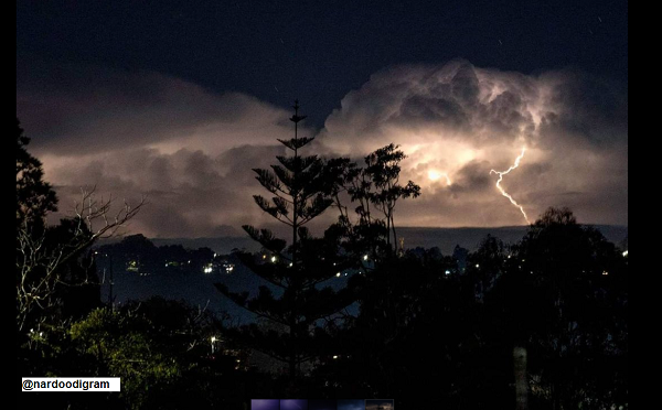
Around two-thirds of Australia are tipped to see above-average rain this spring, with cool days and warm nights also on the cards with wet spring still on the horizon, despite recent lapse in IOD.
As winter draws to a close in the southern hemisphere, Australia finds itself surrounded by abnormally warm waters.
These warm sea surface temperatures have already contributed to several decent rainfall events over the last few months and will likely cause more useful rain in spring.
Current state of climate drivers
The Indian Ocean has been in a pattern called a negative Indian Ocean Dipole (IOD) since May this year. This occurs when abnormally warm water sits to the northwest of Australia and abnormally cool water lies near the Horn of Africa.A negative IOD typically increases rainfall and causes cooler-than-average days and warmer-than-average nights over large areas of Australia.
While the IOD recently returned to neutral values during August, most forecast models suggest it will remain in an overall negative phase through the southern hemisphere’s spring. IOD events typically come to an end by the start of summer, which is expected to be the case this year.
Meanwhile, the central Pacific Ocean has been gradually cooling over the last two months, showing signs of an emerging La Niña-like pattern. While most models are not expecting this cooling to develop into a fully-fledged La Niña event, it may still enhance rainfall over northern and eastern Australia during spring and possibly early summer.
So, how will these climate drivers influence Australia’s weather during spring and early summer?
Rain
The combined influence of the negative IOD, a La Nina-like pattern in the Pacific and above average sea surface temperatures near northern Australia increase the odds of above average rain over the eastern two-thirds of Australia in spring.
Above-average spring rainfall over areas of southern and southeastern Australia that saw decent winter rain would increase the likelihood of flooding.
Temperature
The anticipated mix of climate drives also favors below-average daytime temperatures and above average overnight temperatures across much of the country during spring.
La Nina also typically reduces the amount of extreme heat days in summer but increases the frequency of heatwaves, particularly in southern Australia. However, it’s difficult to know how much the Pacific will influence Australia’s weather in the months ahead, given the La Nina signal is quite weak in the outlooks.
Tropical Cyclones
Warmer-than-average seas to the north of Australia are also conducive to increased tropical cyclone activity from November onwards. We will have more details on Australia’s tropical cyclone outlook for the 2021/22 season in October.
Bushfires
Parts of eastern Australia are coming into spring with an abundance of grass and crop growth, following healthy winter rain. As temperatures increase throughout spring and summer, this grass is likely to dry out and provide fuel for fires.
A broad area from central Queensland down to northern and central inland NSW is expected to have an above-normal risk of grassfires during spring and summer.
Thunderstorms
Negative IOD events have been shown to increase thunderstorm activity across northern Australia and decrease storm activity in southern Australia.
Northern Rainfall Onset
Models also suggest that northern Australia’s first wet season rains will arrive earlier than usual this year, as a result of the negative IOD and La Niña-like pattern.
The impacts listed above are expected during spring and early summer. By late summer, the IOD will have broken down and the Pacific Ocean should be in a neutral phase. This means that typical weather conditions for that time of year are most likely.
For detailed seasonal information and forecasts, please contact us at apac.sales@dtn.com.
Cover image source: @nardoodigram




