Prosper in a dynamic world
Search

Sudden Sunday storm smashes Sydney’s Northern Beaches


A rapidly developing severe thunderstorm struck Sydney’s Northern Beaches on Sunday afternoon, lashing several suburbs with destructive winds, lightning and heavy rain.

The storm initially formed over northwest Sydney shortly before 3pm local time on Sunday.

By 3:10 pm it had hit Galston at by 3:30pm it was gaining strength and travelling directly over the radar tower at Terrey Hills.

The storm cell then hit coastal suburbs around Dee Why, Collaroy and Narrabeen around 3:40pm, where it unleashed what appears to have been a wet downburst – a rapidly descending surge of rain-laden air within a thunderstorm.


Wet downbursts can cause extremely powerful straight-line winds when they reach the ground. In today’s storm, doppler radar data suggests these wind gusts reached around 130 km/h as the storm passed over the Northern Beaches.

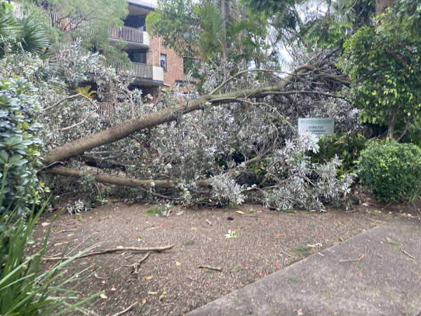
The damage from this afternoon’s destructive wind gusts was clear to see, with reports of one death and more critically injured during the thunderstorm.

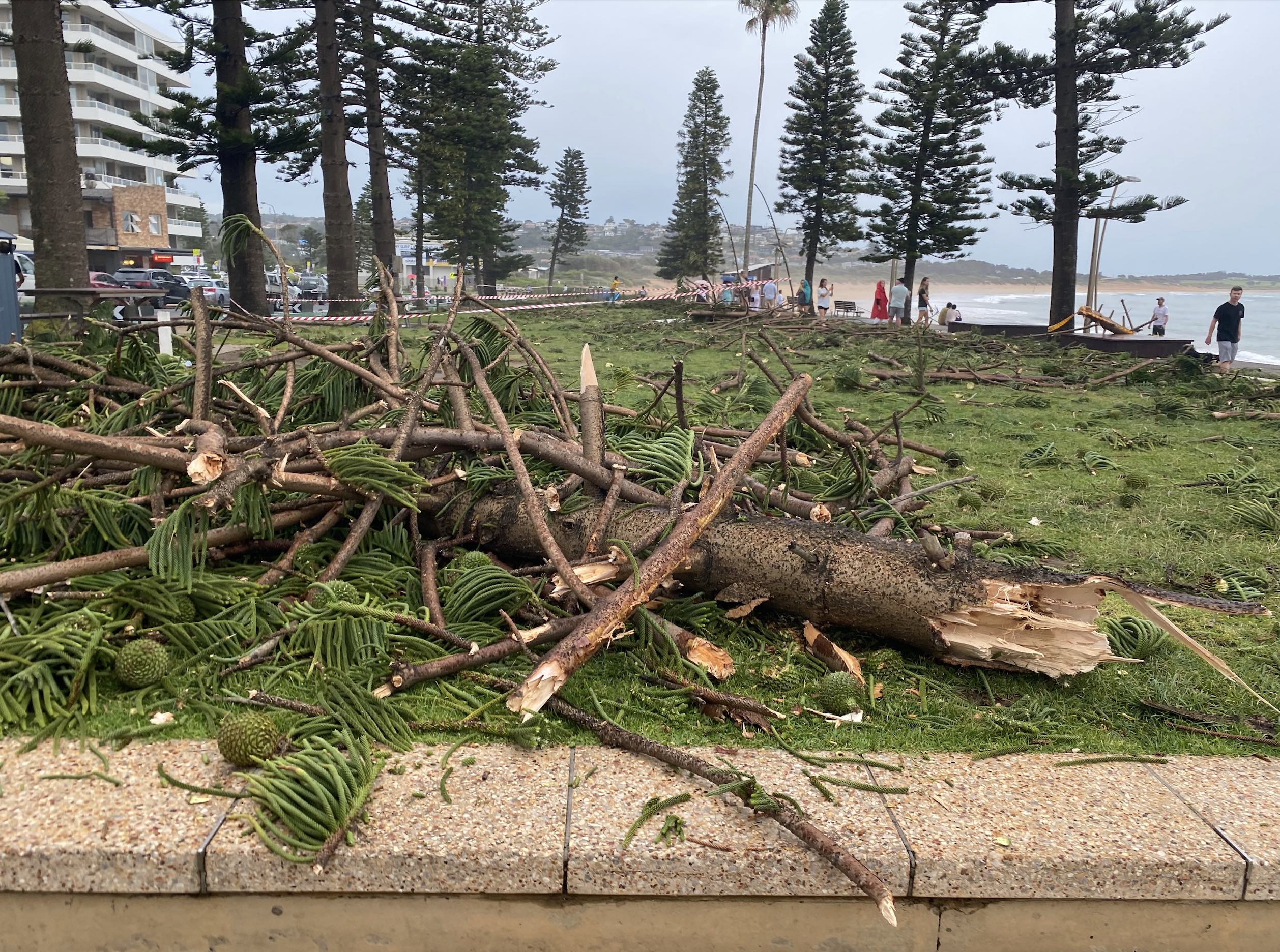
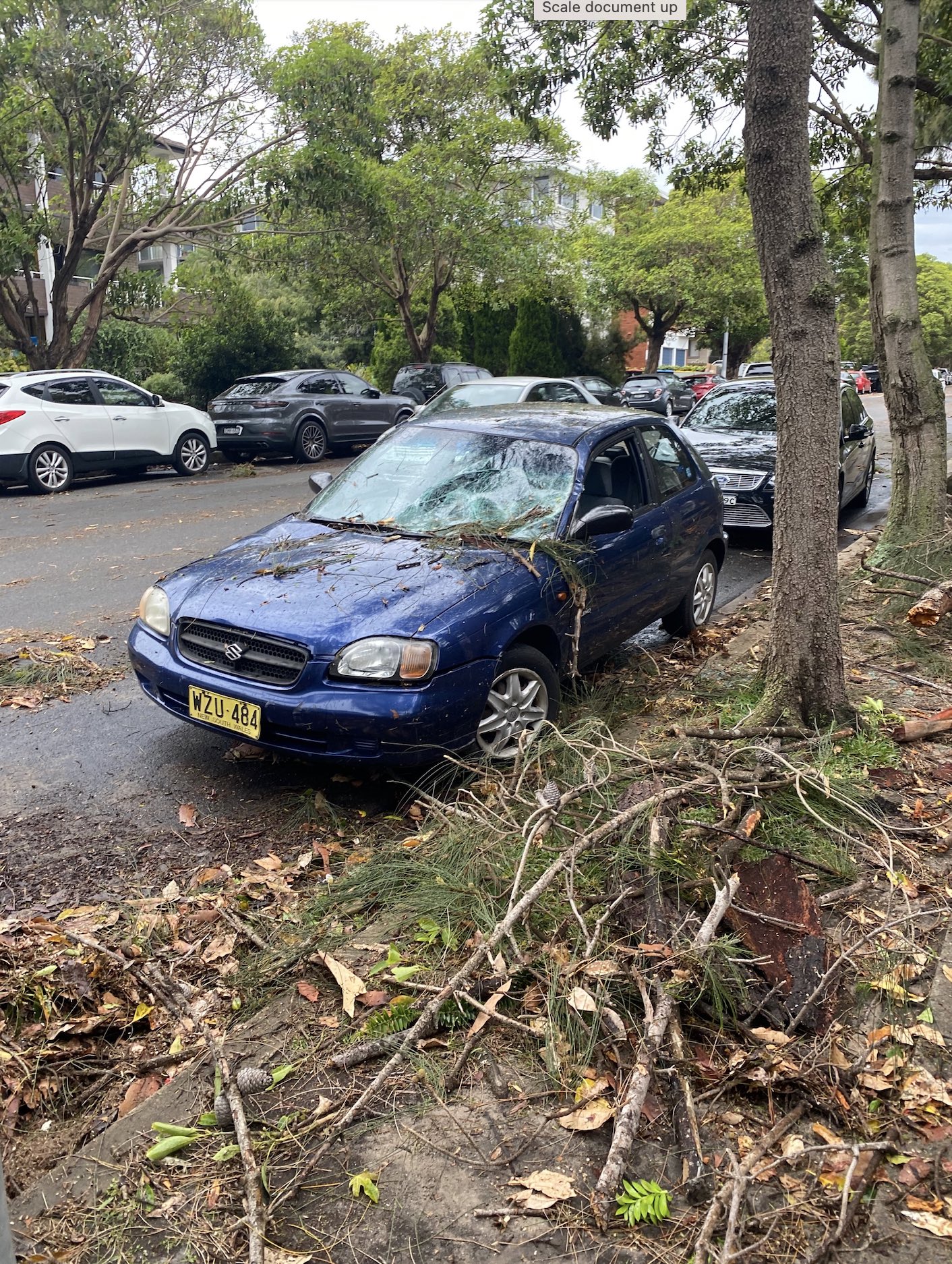
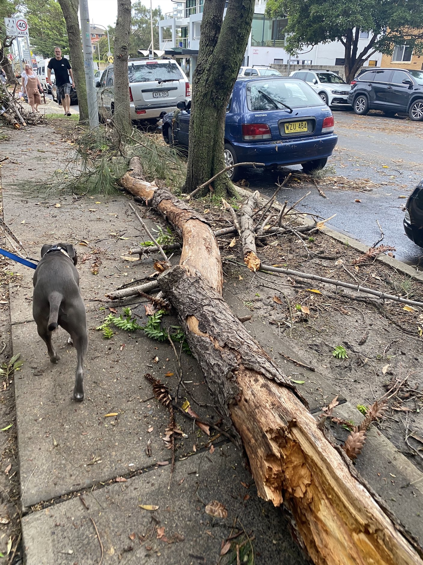
Images: Scenes of damage after the storm in Dee Why. Source: Felix Levesque

Weatherzone provides businesses with dangerous thunderstorm alerting, forecasts and consultancy, for more information please contact us at apac.sales@dtn.com.

Latest news

Satisfy your weather obsession with these news headlines from around the nation, and the world.

El Niño Is Here: What a Potential Record Event Means for Southeast Asia and Australia

  El Niño was officially declared in June 2026, raising the prospect of widespread impacts across Southeast Asia, from extreme heat and water shortages to higher energy demand and agricultural stress.   The World Meteorological Organization has warned countries to “prepare for it to be severe”, while several global forecast models suggest the event could rank among […]

How El Niño will shape Australian port operations in winter-spring 2026

Australian ports and marine pilots can expect a season of shifting wind and swell patterns through winter and spring 2026, as a developing El Niño brings the likelihood of drier conditions and more variable operating windows across the country’s coastline.  Will El Niño develop in 2026?  There are clear signs that an El Niño pattern is becoming […]

From Kimberley to northern NSW: Bushfire outlook flags risk for resources sector this winter

Bushfire risk doesn’t usually make headlines in June, but AFAC’s winter seasonal outlook is putting mining and resources operators on alert from the Kimberley to the NSW.  Australia’s official seasonal bushfire outlook for winter 2026 was released by AFAC on Thursday, May 28. The outlook predicts increased fire risk across the northern parts of the Great Sandy Desert and surrounds […]

The signal was there weeks earlier: forecasting one of the year’s biggest wind events

In mid-May 2026, DTN APAC meteorologists flagged a strengthening Southern Ocean pattern in model guidance, signalling an extended run of record-challenging wind conditions across the NEM.  Nearly three weeks later, NEM wind generation climbed from around 1.5GW to more than 9GW, supplying roughly one-third of the grid and coming within 1GW of the all-time generation record.  The event highlighted […]