
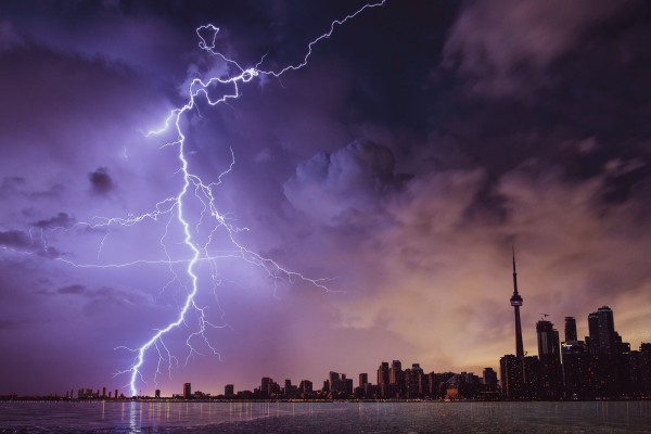
Large areas of eastern Australia will be stuck in a stormy weather pattern this week, with heavy rain likely to cause flooding amid daily displays of prolific lightning. A stubborn high pressure ridge over the Tasman and Coral Seas will direct moisture-laden easterly winds across Queensland and NSW over the coming week.
This airborne moisture would be enough to cause plenty of rain on its own. However, a broad upper-level trough passing over eastern Australia this week will help convert the moisture into heavy rain and dangerous thunderstorms.
The animation below shows precipitable water, which is a measure of the amount of moisture in the atmosphere, and 500 hectopascal height, which corresponds to temperature around 5-6km above the ground. This video shows the steady stream of moisture-laden air (colours) flowing into an upper-level trough (white lines) above eastern Australia this week.
Video: Forecast precipitable water and 500hPa height from the ECMWF-HRES model.
Monday was a preview of the stormy weather that’s on the cards for eastern Australia in the coming days. Lighting and thunder started developing in the afternoon and persisted throughout the night into Tuesday morning.
Video: Composite satellite, radar and lightning strike observations on Monday into Tuesday morning.
Lightning sensors detected 338,988 lighting pulses within a 500km radius of Tamworth between midday and midnight on Monday. These strikes extended into QLD and down to southern NSW, including Sydney where one of the strikes reportedly set fire to a house.

Image: Locations off 338,988 lightning pulses detected within a 500km radius of Tamworth during the 12 hours starting from 12pm AEDT on Monday, February 21, 2022.
More storms were rumbling over Sydney and the Central Coast on Tuesday morning, with several slow-moving storm cells prompting warnings for heavy rain and flash flooding in the region. Kings Langley received 26mm between 9am and 10am.
Showers and thunderstorms will develop over most districts of NSW on Tuesday and also extend up into the southern inland and central west of Queensland. Looking ahead, widespread rain and thunderstorms will affect parts of Queensland, NSW, the ACT and Victoria between Wednesday and the weekend, with showers and a few storms also likely in Tasmania.
The maps below show how, where, and how much rain one computer model is predicting over eastern Australia during the next few days. The next map shows the predicted accumulated rain between Tuesday and Sunday from the same model.

Image: Forecast daily rainfall during the next four days, according to the ECMWF-HRES model.

Image: Forecast accumulated rainfall during the next six days (Tuesday to Sunday), according to the ECMWF-HRES model.
Storm Impact Analytics is a damage and outage incident prediction system, developed by Weatherzone’s parent company DTN, that uses a machine learning-based approach to provide a set of quantitative predictions that support a more prepared response. For more information, please contact us at apac.sales@dtn.com.




