
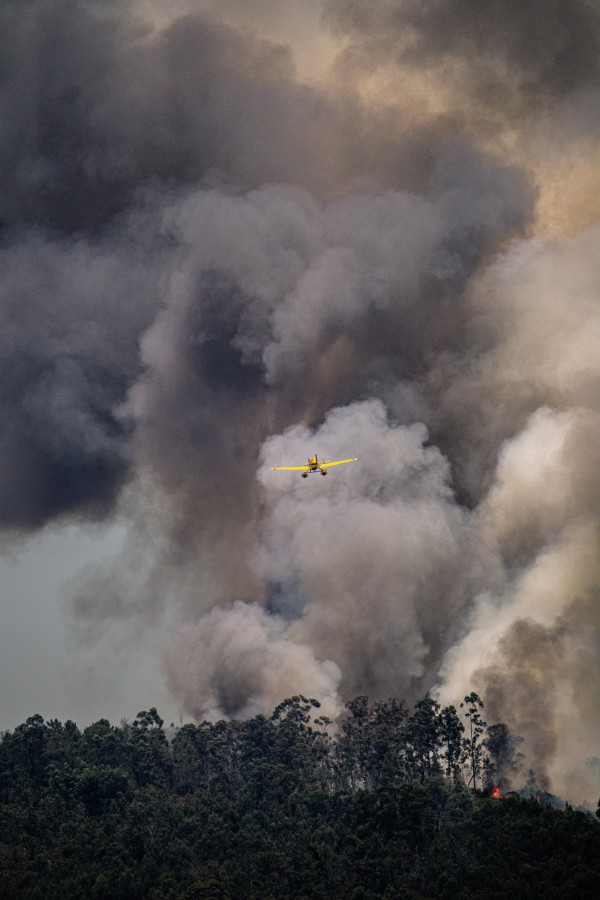
The Australian Fire and Emergency Services Authorities Council (AFAC) just released the national Seasonal Bushfire Outlooks for spring.
This outlook is based on the current state of the environment, including soil moisture and vegetation growth, and the future predictions of rainfall and temperature.
The map below gives an overview of the bushfire potential across Australia during spring 2021. Red shading shows areas that have above-normal fire potential, while blue areas have below-normal fire potential. The rest of the country has a normal fire potential this spring.
The big red blob stretching from Central Queensland down to Central West NSW highlights an area that is expected to see above-normal fire potential this spring. This outlook is mainly a result of elevated grass and crop growth, which will increase the potential for grassland fires in the coming months.
But while grassfires could be more active than usual in parts of central and northern NSW this spring, the bushfire potential will be suppressed in areas that were scorched during the Black Summer fires a couple of years ago.
The blue areas on the map above, which are scattered from northeast NSW down to southern Victoria, include these burnt-out areas that have a below-normal bushfire potential this season.
The blue shading also shows areas that will have suppressed bushfire potential due to above-average rain and soil moisture.
Another notable area of red on the map is in the north of WA. This region already has plenty of dry grass on the ground and it is predicted to see above average temperatures and below average rain in the coming months spring.
As a result, the AFAC predicts above average fire potential in the Pilbara, Dampier land, Central Kimberley and Ord Victoria Plain bioregions in the coming months.
It is also worth pointing out that an outlook of below or normal bushfire potential doesn’t mean that an area is immune to destructive and deadly fires. As with any fire season, it is still important to monitor bushfire information for your region throughout the warmer months ahead.
In the near-term, a well-timed wave of warm air will sweep across southern and eastern Australia mid-to-late next week.
This burst of warm air will cause temperatures to reach the mid-to-high twenties in Adelaide, Melbourne, Sydney and Brisbane on the opening days of September.
This will be spring’s first spike in fire danger for Australia’s southern and eastern states.
Weatherzone provide fire weather seasonal forecasts for many businesses across Australia, as well as temperature, wind and humidity forecasting out to 14 days. For more information, please contact us at apac.sales@dtn.com.




