
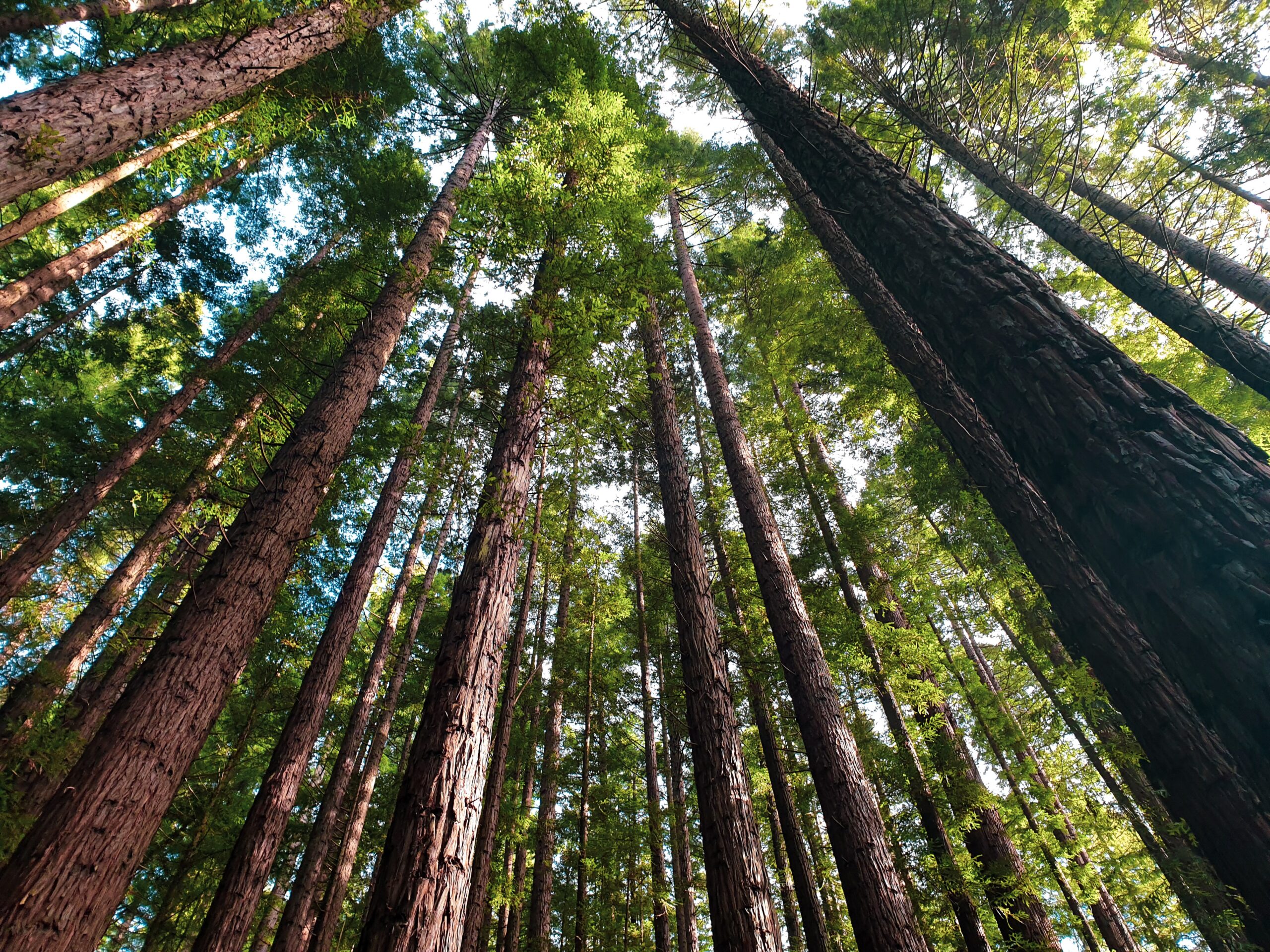
Australia’s forests are ecologically diverse and vast, covering millions of hectares of the country’s landscape.
According to Forests Australia, Australia has 125 million hectares of forest, which is 16 per cent of Australia’s land area. This is about 3 per cent of the world’s forest area, and the seventh-largest reported forest area worldwide.
The map below shows the distribution of native and plantation forests around Australia. While forests extend through each state and territory, the highest density is along the southern and eastern ranges and coastal zones. Unsurprisingly QLD hosts the largest portion of Australia’s rainforests, followed by NSW.

Image: Distribution of Australia’s forest types in 2016, Source, ABARES
Australia harvests logs from these forests and plantations, which contributes to the Australian economy and employment.
The Australian Bureau of Agricultural and Resource Economics and Sciences (ABARES) reported that in 2017–18, 32.9 million cubic metres of logs were harvested in Australia, generating $4.9 billion in sales and service income across the forestry and logging industries.
Dangers to the forestry industry
The ever-changing weather and environment are a constant challenge for the forestry industry.
Bushfires are a major threat to this industry, with the potential to burn millions of hectares of land. Lightning risk, fire danger, low humidity, extreme temperatures, strong winds, and climate change are also all risks to the industry. Climate change is likely to affect the efficiency and growth of forests through varying changes in rainfall, temperature, humidity, and wind across Australia.
Weatherzone’s forecasts and observations for the forestry industry
Lightning observations
Weatherzone owns and operates the Weatherzone Total Lightning Detection Network, one of the most advanced networks of its kind in the world.
This lightning detection network has the capability to detect strike accuracies down to 100m, which supports dangerous thunderstorm and lightning alerting and is an imperative tool for outdoor operations and infrastructure and personnel safety.
Lightning alerts
Smart alerts can be set up based on where your assets and business are located. Whether you want alerts set up for lightning within 5km or 50km, Weatherzone can tailor these alerts to your specific needs.
Weather forecasts tuned to your location
Weatherzone’s model Opticast is an industry leading high-precision forecast system, optimised for both “real-time nowcasting” and forecasts up to 15 days ahead. Opticast forecasts fire danger, temperature, humidity, wind speed and direction and cloud cover.
Opticast’s forecasts update every 15 minutes based on Automatic Weather Station (AWS) observational data, which can be deployed onto your site. The system works by taking forecasts from a range of computer models and comparing them with observations to produce the most accurate forecast possible.
When AWS’s are deployed on your site, Opticast’s forecasts can be tailored to your specific location, rather than the nearest town or city’s weather station. This provides you with ultra-local forecasts, based on your site’s observations.
Past event analysis
Weatherzone’s Storm Query is a straightforward way to perform post-event analyses, helping to determine how the event happened and why. For example, was the bushfire caused by dry lightning?
Weatherzone maintains a historical database of all collected weather information from the Australian Bureau of Meteorology (BoM). In addition to BoM information, Weatherzone stores lightning strike data from Total Lightning Network.
Users can look at any point of interest and query when and where lightning happened and attribute whether the event was caused by a storm. Storm Query can also help businesses complete risk analysis using climatology of lightning in the area.
For more information on Weatherzone’s services and how we could help you, please contact us at apac.sales@dtn.com




