
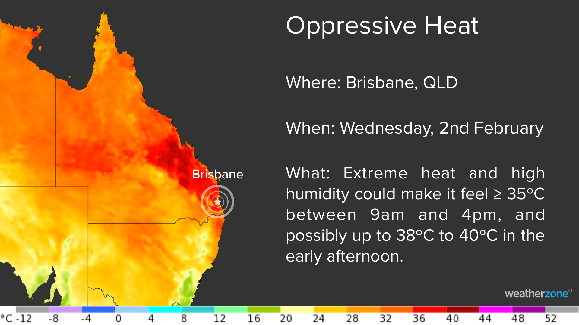
An extremely hot and humid airmass has begun spilling into southeastern Queensland today, with the stage now set for several uncomfortable days and nights in Brisbane.
While bursts of heat are common in southeast Queensland during summer, the next few days and nights are going to feel oppressive in Brisbane.
A combination of extreme heat and high relative humidity are going to make temperatures feel around 5 to 10 ºC above average, even for the peak of summer.
The map below shows the hot airmass spreading into southeastern QLD between Monday and Wednesday.
Forecast models have been hinting at this spell of hot and muggy weather for more than a week. However, the maximum temperature forecasts have increased since last week, for both Tuesday and Wednesday, with delayed sea breezes allowing for higher temperatures.
Daytime maximum temperatures should reach about 35 to 36ºC on Tuesday and Wednesday, respectively. However, the high humidity could make it feel 2 to 4ºC warmer than this on Tuesday and possibly 5 to 7ºC warmer on Wednesday.
This means that the combination of high heat and humidity could make the temperature feel close to or above 35ºC between 9am and 4pm on Wednesday, and possibly up to 38 to 40ºC in the early afternoon.

Unfortunately, there will not be much relief from the heat overnight, with temperatures not expected to drop below 25ºC on both Tuesday and Wednesday nights.
The hot, humid, and unstable airmass across southeastern QLD is also set to trigger thunderstorms in the region on Wednesday and Thursday. At this stage, thunderstorms are possible in Brisbane on Wednesday afternoon and evening and Thursday morning and afternoon, with severe storms are possible.
Relief from this oppressive heat will come from a southerly change crossing southeast Queensland on Thursday. Maximum temperatures are expected to stay below 30ºC from Thursday until at least the start of the following week, thanks to this change.
For more information on Weatherzone’s energy forecasting, please contact us at apac.sales@dtn.com.




