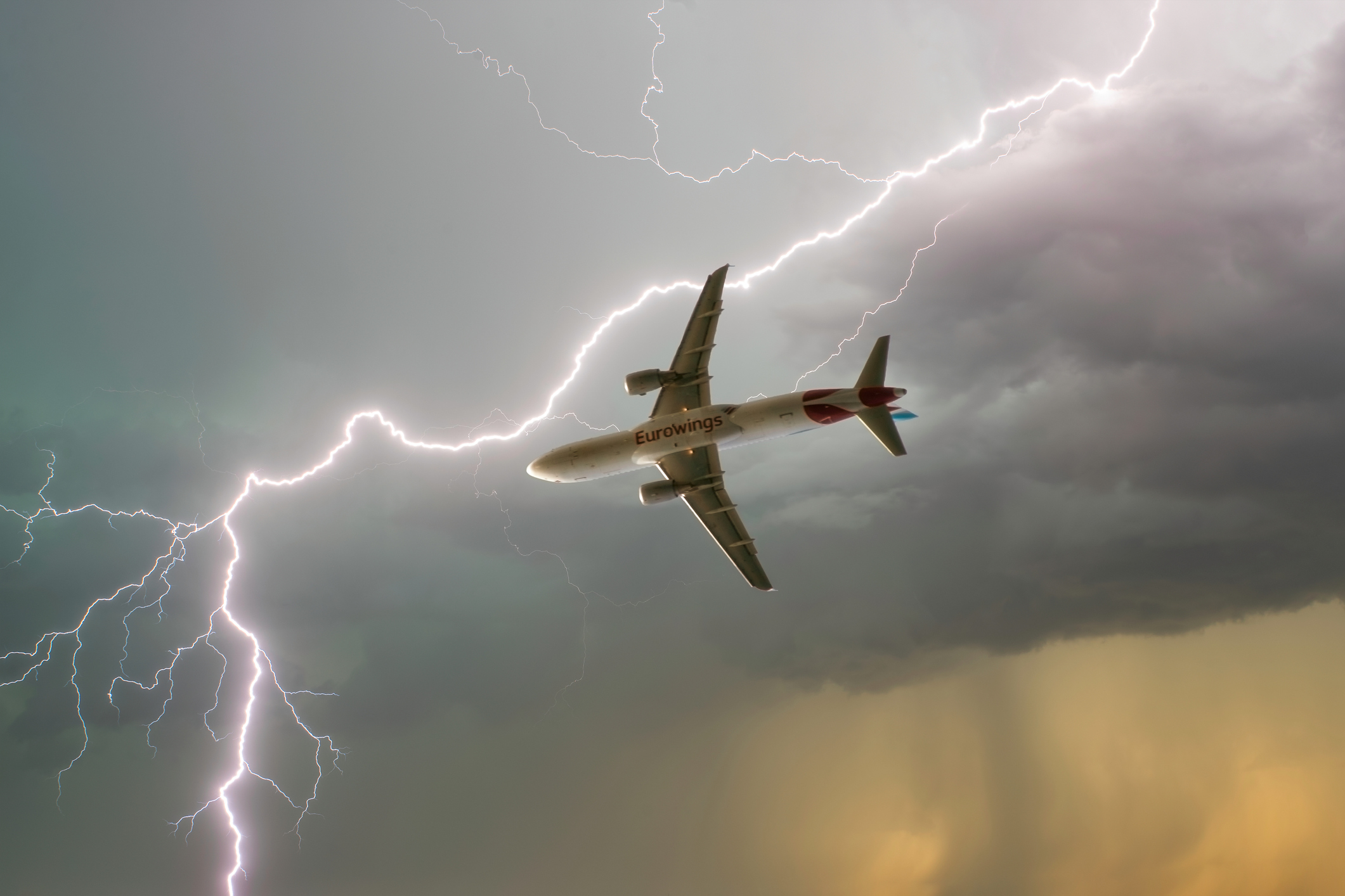
Lightning hitting planes is not as rare as one might think, but thankfully modern aircraft are designed to withstand a powerful bolt of lightning. Safety protocols within the aviation industry ensure that every commercial jet is engineered to act as a Faraday cage, protecting both passengers and sensitive electronics.
Most commercial planes are struck by lightning once or twice a year, with the aircraft itself sometimes causing lightning by enhancing electrical fields.
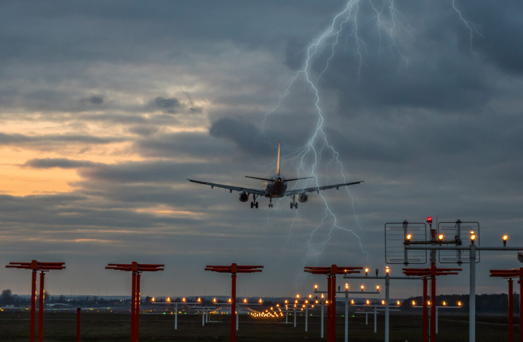
Most of the lightning strikes when the aircraft is flying through a cloud during takeoff and landing, with less than 10 percent of strikes occurring above or below the cloud.
The lightning striking the aircraft can come as an enormous surprise to passengers, with a huge bang often reported as millions of volts hit the plane.
Aircraft technology has improved over the years, and only in rare cases does lightning cause physical damage to the plane or compromise the safety of passengers.
While most aircraft can function normally after being struck, pilots may sometimes choose to make an emergency landing if displays or systems have been affected by the strike.
Lightning typically hits the plane’s extremities, like the wing tip or the nose, before exiting from another extremity.
Thankfully, planes are excellent conductors of electricity, being made of aluminium, copper and other metals. This allows the charge to enter and exit the aircraft without affecting the interior or the safety of those on board.
To help minimise the risks and improve flight safety, an advanced lightning tracker tool like DTN’s Total Lightning Network provide real-time storm data, enabling airlines to anticipate and avoid high-risk areas before takeoff and during flight.
The fuel tanks and electrical wiring in the aircraft are also protected from lightning strikes in modern aircraft.
The aircraft is also referenced as a faraday cage which shields passengers from the enormous amount of electricity. A faraday cage is designed to block electromagnetic fields when the ‘cage’ is covered by continuous conductive material which keeps people safe inside. Planes and cars are both fitting examples of faraday cages which keep you safe when lightning strikes.
While lightning striking the plane usually isn’t a cause of concern, lightning on the ground at the airport is.
Lightning is a major safety concern and is extremely dangerous to ground staff working on the tarmac. As a result, ground staff need to be taken off the tarmac when lightning strikes are occurring close to the airport.
The thunderstorms themselves can also produce severe turbulence, wind shear and gusts, low clouds and reduced visibility, all of which can cause delays or flight cancellations.
Are you looking for next-generation aviation weather services?
Weatherzone Business delivers a proven aviation weather briefing system, developed in collaboration with the industry, to keep your enterprise performing at peak efficiency.
We meticulously tailor actionable weather intelligence to suit the scope of your company’s work, on the ground and in the air. Accurate and comprehensive international data informs your daily decisions on safety, fuel loads and staffing.
Working alongside our global network of partners and suppliers we collate the data to give you full situational awareness of both en route and port specific conditions. Weatherzone is accredited and adheres to standards for aviation meteorology set by the World Meteorological Organisation (WMO) and the International Civil Aviation Organisation (ICAO). Registered with the ICAO and providing safety critical OPTMET data with permission from Air Services Australia, our aviation services meet the industry’s stringent requirements.
This is weather intelligence delivered in an easy to visualise format. No matter what the weather has in store, we give you clear foresight to make informed decisions. For more information, please contact us at apac.sales@dtn.com.


