Tropical Cyclone Vernon has formed near the Cocos (Keeling) Islands and Anika could soon follow, much closer to mainland Australia.
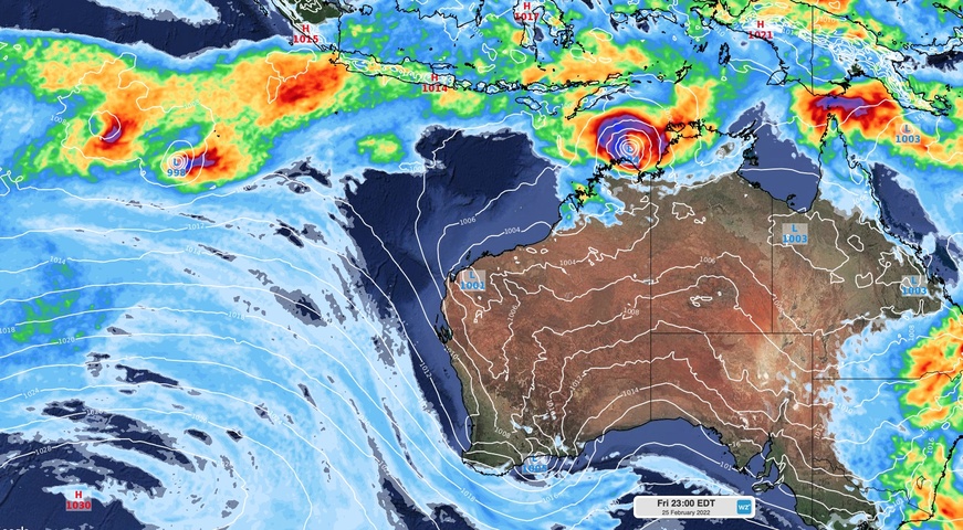
The satellite image below shows several blobs of cloud to the northwest of Australia. These clouds show areas of concentrated convective activity, or storminess, along a monsoon trough.

Image: Enhanced visible/infrared satellite image captured at 12pm AEDT on Friday, February 25. The image has been annotated with circles to highlight Tropical Cyclone Vernon (green) and a strengthening tropical low (red).
The cloud mass circled green in the image above is Tropical Cyclone Vernon, which formed around 220 km to the southwest of the Cocos (Keeling) Islands at 8am AWST on Friday.
The clouds circled red in the image above show a developing tropical low over the Timor Sea, which could soon become Tropical Cyclone Anika.
Tropical Cyclone Vernon
After forming near the Cocos Keeling Islands this morning, Tropical Cyclone Vernon is expected to move towards the west during the next few days. This system is unlikely to have any direct impact on Australia’s mainland or remote territories.
Vernon is the fifth tropical cyclone to be named in the Australian region so far this season.
Tropical Low
The tropical low over the Timor Sea is gradually gaining strength as it draws energy from warm sea surface temperatures in the region.

Image: Sea surface temperatures around the NT’s Top End have are currently hovering around 30 to 31ºC, which is about 1ºC above average for this time of year. Source: Bureau of Meteorology.
This slow-moving tropical low is expected to develop into a tropical cyclone on Friday night or Saturday morning.
However, forecast models are struggling to figure out where the system will move in the coming days. Future paths for this developing system could be anywhere between the NT’s Tiwi Islands and Derby in WA.
Most of this broad coastal zone is currently under a Cyclone Watch or a Cyclone Warning, meaning damaging gale force winds are possible within the next 24 to 48 hours.
Heavy rain is also likely to develop over the western Top End and Kimberley during the next few days as the system gains strength.
If this low-pressure system becomes a tropical cyclone, it will most likely be named Anika, which is the next name on the list in Australia’s area of responsibility.
Keep up to date with the latest tropical cyclone warnings and track maps here-or for more information on Weatherzone’s tropical cyclone forecasting, please contact us at apac.sales@dtn.com.


