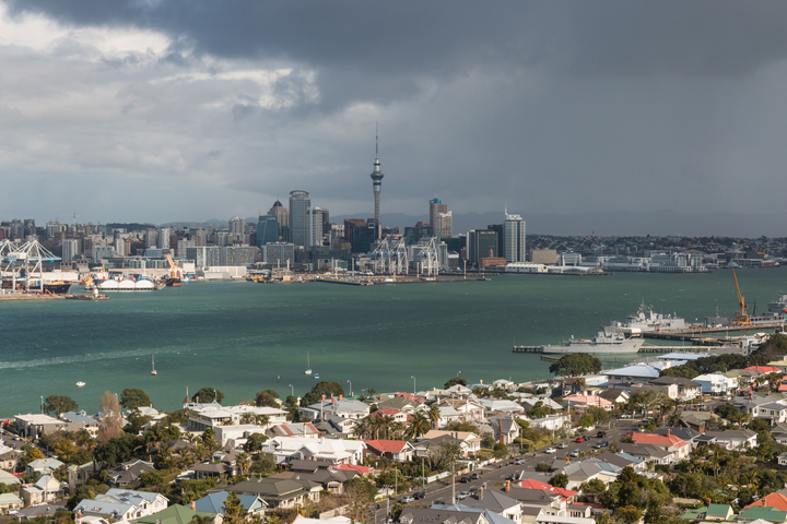
A State of Emergency has been declared for Auckland, with yet more rain on the way bringing the likelihood of further flooding and landslides.
Early on Monday morning, New Zealand’s National Institute of Water and Atmospheric Research (NIWA) announced that Auckland has now recorded:
- Over 769% of its January monthly normal rainfall
- Over 38% of its entire annual rainfall
- NZ’s largest city was also nearing its record for the wettest month ever
Auckland has now recorded:
🌧️ Over 769% of their January monthly normal rainfall
🌧️ Over 38% of their entire ANNUAL rainfall
Auckland is currently challenging the record for their wettest month ever. With more rain today & tomorrow, this formidable record may also be toppled. pic.twitter.com/rWOXSYBXtG
— NIWA Weather (@NiwaWeather) January 29, 2023
How much rain exactly has fallen?
- As we told you on the weekend, Auckland saw a phenomenal amount of rain in a three-hour period late on Friday afternoon, with most areas topping 120 mmm and a top three-hour fall of 153mm.
- The average monthly total for January in most parts of Auckland is around 75 mm, so that was around double the monthly average in one extremely hectic afternoon.
- Auckland airport saw its wettest 24-hour period on record between Friday morning and Saturday morning, with 249 mm.
- Meanwhile, most parts of Auckland are nearing 300 mm for the month of January. That makes this Auckland’s wettest January on record, and as mentioned, the record for any month is in sight. That was July 1988 when over 320 mm was recorded.
27 Jan 2023 – provisionally, the wettest day on record for multiple locations in Auckland.
These locations have set a new all-time daily rainfall record.
This is approximately an entire summer’s worth of rain (DJF) in one day! 😮 pic.twitter.com/6twfPst3tW
— NIWA Weather (@NiwaWeather) January 27, 2023
And more rain is coming, as stated at the top of this story. According to the NZ MetService, “persistent heavy falls” across Auckland and the Northland regions will return on Tuesday.
A Heavy Rain Warning has been issued for falls of 140 to 200 mm between 4 am Tuesday and 4 am Wednesday. We’ll keep you updated.
And for the record…
- The annual average rainfall at Albert Park, in the Auckland CBD, is 1198 mm, which is roughly the same as Sydney’s average.
- But the rain tends to be consistent rather than occurring in heavy bursts. Overall, Auckland and the North Island of NZ as a whole generally see fewer extreme rain events than the Australian east coast.


