
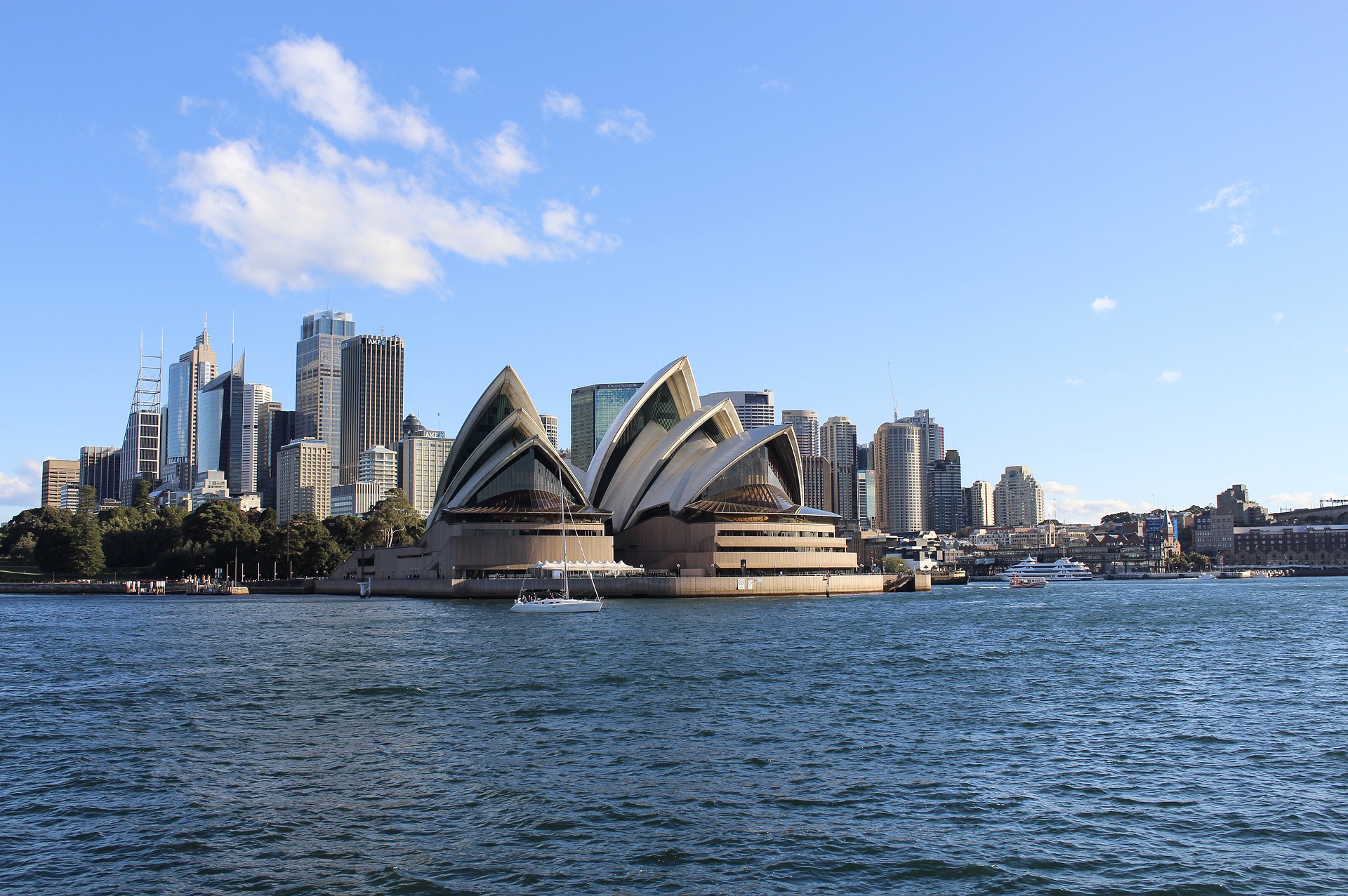
On Sunday, the clouds finally parted in Sydney and the city enjoyed its sunniest day in more than three weeks. Unfortunately, this return of sunshine will be short-lived.
During March, Sydney saw its wettest March on record and its wettest calendar month in more than 30 years, with March now overtaking June as Sydney’s wettest month of the year.
It has also been a gloomy month, with Sydney Airport averaged just 4.17 hours of sunshine per day, which is also the cloudiest March in at least 44 years.
The combination of La Niña, an abnormally warm Tasman Sea, and a predominantly positive Southern Annular Mode (SAM) caused prolific rain and cloud in Sydney in March, reducing solar output across much of the east coast.
On Sunday, the winds shifted to the west, promoting dry and sunny weather across Sydney and surrounding areas of NSW.
This sunny weather will continue on Monday and Tuesday, before darker skies return mid-week.
Persistent onshore winds feeding into an upper-level trough will cause several days of cloudy weather with frequent rain from Wednesday.
Rain and cloud are forecast each day in Sydney until at least Sunday, which will again reduce rooftop solar across Sydney and the surrounding areas.
While there is some model uncertainty, the map below shows that 50-100mm could fall between now and Sunday along the central and southern coast and adjacent ranges in NSW.

Image ECMWF (left), GFS (middle) and Access-G (right) forecast accumulated rainfall between Monday, April 4 to Sunday April 10.
Solar power is becoming increasingly important in the energy markets, however the variable nature of solar generation which we have seen this year, poses significant challenges for integration into the electricity industry.
Weatherzone, in partnership with Solcast, provide solar power forecasting and solar irradiance data, for both large-scale solar farms and small-scale PV systems to our energy clients. For more information on our solar forecasting, please contact us at apac.sales@dtn.com.




