
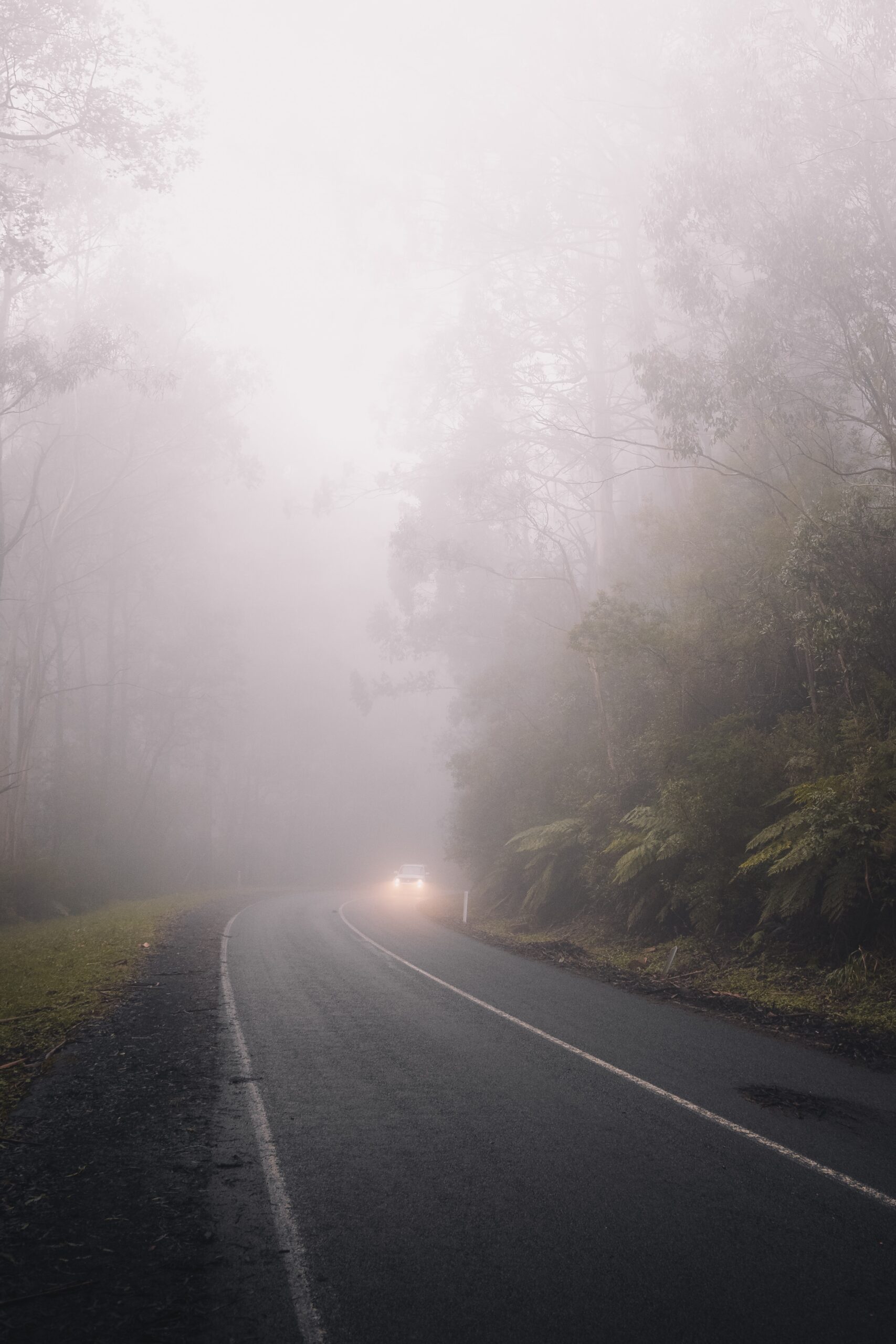
Australia’s fog season is imminent as the nights begin to cool ahead of winter, but will this year’s La Nina increase the number of foggy days?
Fog is a visible aerosol that contains countless tiny water droplets suspended in the air, which reduce visibility below one kilometre. Fog typically forms when the skies are clear and winds are light overnight, which allows temperatures are cool enough for water vapour in the air to condense into liquid droplets. Fog can form more easily when the moisture content of the atmosphere near the surface is high. So, do we have all of these ingredients this season?
Increased moisture content
In the lead-up to this season, parts of eastern Australia have copped a drenching, in response to La Niña in the Pacific Ocean and abnormally warm water in the southern and western Tasman. The map below shows that parts of NSW, VIC and WA also saw above average rain in March, with parts of NSW receiving record breaking rainfall.

Image: Australain rainfall deciles for March 2022, Source:BOM
This rainfall has overflowed rivers, saturated soil, and increased humidity across these areas during the last few months. The residual moisture in both the atmosphere and on the land will likely help increase the number of foggy mornings we see this season, especially across eastern Australia and parts of WA. Fogs are often likely after rain, when the skies clear and winds calm, as lingering moisture combines with cooler nights.
Clear skies and light winds
In addition to the moisture content, the other key ingredients for fog to form are clear skies and light winds at night. These conditions occur when high pressure systems are influencing the weather. This season, the Southern Annular Mode (SAM) could promote these conditions.
The SAM refers to the position of a belt of westerly winds that flow from west to east between Australia and Antarctica. When the SAM is in a negative phase, these westerly winds, and the cold fronts and low pressure systems they carry, are located further north than usual for that time of year.
When the SAM is positive, the westerly winds, cold fronts and low pressure systems are located further south than usual, with high pressure systems prevalent across southern Australia. The SAM is now neutral and unlikely to be influencing Australia’s weather. However, It is expected to become positive in mid-April and persist in this phase until at least early May.

Image: Southern Annual Mode (SAM) daily index observations (black line) and forecast (green line), source:BOM
Positive phases of the SAM during late autumn and winter promote high pressure over southern Australia, which can bring clear skies and light winds to the region, which are both key ingredients for fog. However, high pressure over southern Australia can also increase cloud cover across the east coast. This can hinder fog development until the high moves further east into the Tasman Sea and brings more favourable conditions for fog formation.
Cool nights
Overnight temperatures for the next few months may be warmer than normal across much of Australia even as La Niña gradually weakens. This is because La Niña increases cloud cover across northern and eastern Australia, which acts as a blanket, trapping heat in overnight.
The map below shows the Australia’s minimum temperature forecast anomalies for the next six months. During the next two months, cooler overnight temperatures are forecast for inland parts of NSW, SA, VIC, WA and QLD which could increase the chances of a foggy morning.

Image: ECMWF minimum temperature anomalies for the next 6 months
While many inland areas could have relatively cool nights in the next two months, some coastal areas are forecast to see warmer nights, with increased cloud cover continuing to trap heat before La Nina’s influence wears off in early winter.
Overall, it could be an above average fog season with abundant moisture and positive SAM at play until at least winter when the skies clear. Fog may also last much longer than usual, especially early in the season. We could see fog in Sydney as early as Sunday night when the clouds’ finally part and overnight temperatures drop.
How can Weatherzone help ports?
Fog is dangerous as it reduces visibility around ports, meaning pilots and staff may not be able to see far enough to move ships in and out safely. Fog can cause significant delays and disruptions, which can financially impact the ports and shipping companies.
Clearance times and fog risk forecasting for ports is paramount for ensuring safety and efficiency. Weatherzone forecast fog risk, density and onset and clearance times out to 7 days. It shows as a traffic light system, with green having no impact on operations, yellow a moderate impact and red having a high impact.
We can alert for fog down to the hour, what the density will be, and we fine tune our models dependent on the individual port requirements and local topography. For more information, please contact us at apac.sales@dtn.com.




