

Traffic came to a standstill in the snow-covered Blue Mountains on Wednesday morning as black ice closed sections of the Great Western Highway and Bells Line of Road.
A large pool of very cold air with polar origins spread across southeastern Australia during the last 48 hours. As this frigid air mass reached central NSW on Tuesday, it interacted with a stream of moisture-laden air to produce widespread and low-level snow.
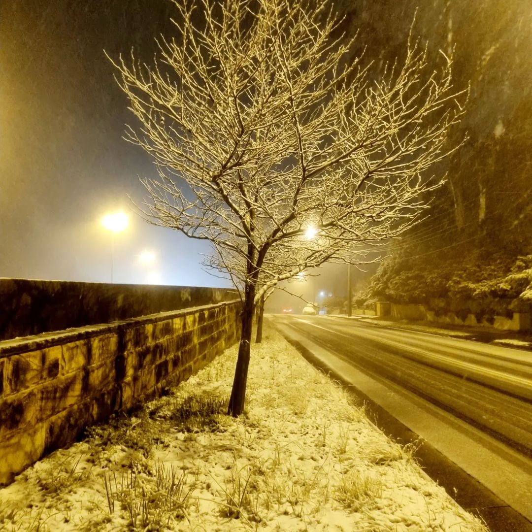
Image: Snow in Katoomba, NSW on Tuesday night. Source: @karinpear / Instagram
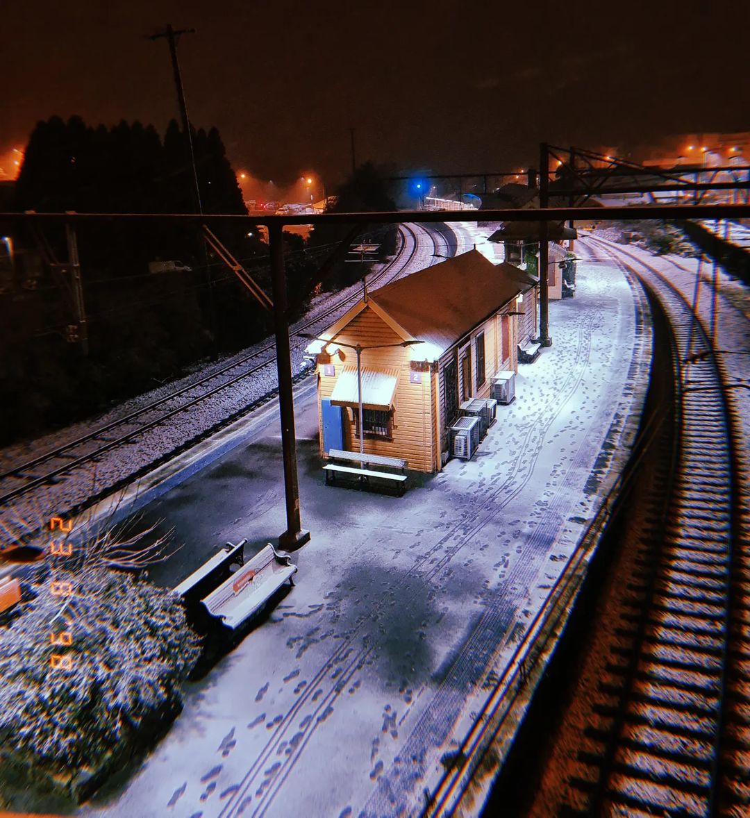
Image: Snow covering the platform at Katoomba Station, NSW on Tuesday night. Source: @alex.mulvey_ / Instagram
As the sun rose on Wednesday, the clouds had cleared and there was so much snow across the ranges and tablelands in central NSW that it could be seen from space. Unfortunately, some roads and other surfaces were also covered in a dangerous layer of black ice.
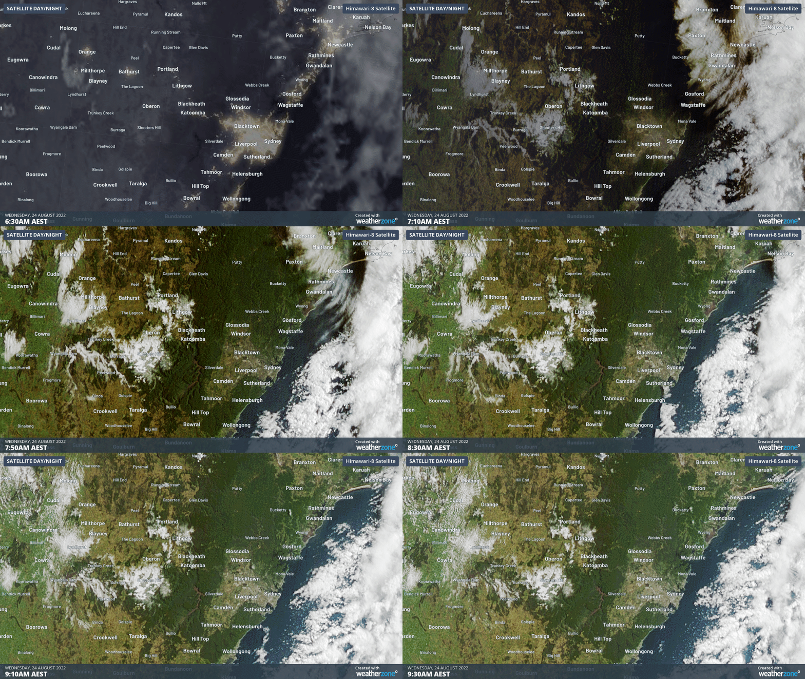
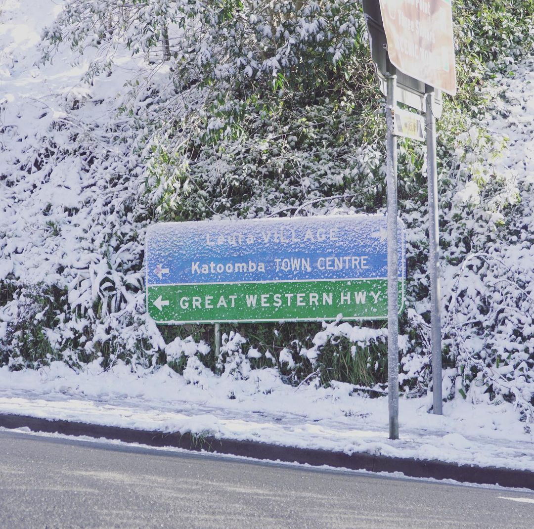
Image: A section of the Great Western Highway was closed on Wednesday morning due to black ice. Source: @jamiewhiskers / Instagram
The term ‘black ice’ refers to a thin layer of ice, also known as a glaze, that forms on roads and footpaths under certain conditions. It usually occurs when freezing rain falls onto exposed roads, or when snow melts and then refreezes.
Wednesday morning’s black ice was caused by a sequence of events that we don’t see frequently in the Blue Mountains:
- The snow that fell in the mountains on Tuesday night quickly melted when it came into contact with the relatively warm roads.
- Following this snowfall, the clouds cleared and winds eased in the Blue Mountains, which allowed temperatures to drop further into the early hours of Wednesday morning.
- This nocturnal cooling saw the temperature at Mount Boyce drop from -0.5ºC at midnight to -2.1ºC shortly before 7am.
- This cooling caused the melted snow to re-freeze on roads, forcing authorities to shut sections of the Great Western Highway, Bells Line of Road and Chifley Road.
The roads are dangerous this morning. These two photos, courtesy of A.Newton, show just how tricky driving has been… pic.twitter.com/t1vZlf6Min
— Blackheath Weather (@BlackheathWx) August 23, 2022
Black ice could also be seen on footpaths and basketball courts in Blackheath, surrounded by snow-covered grass.
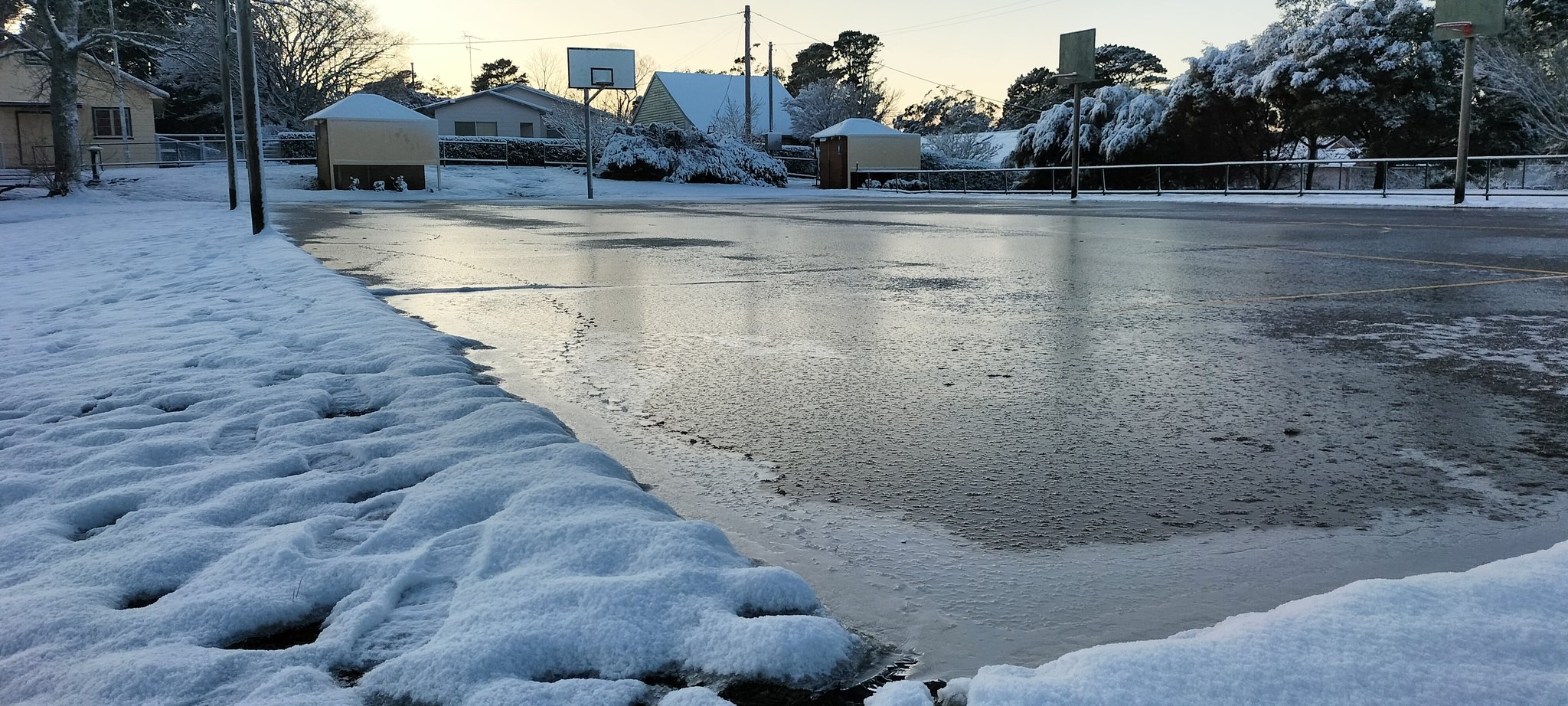
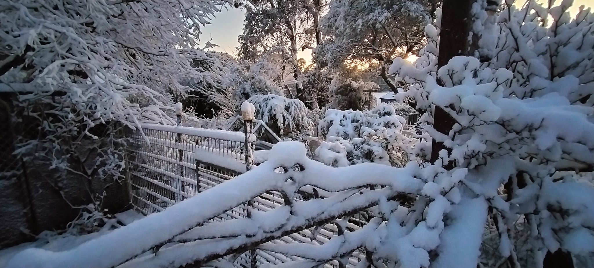
Images: Blackheath Oval, NSW on Wednesday morning. Source: @BlackheathWX / Twitter
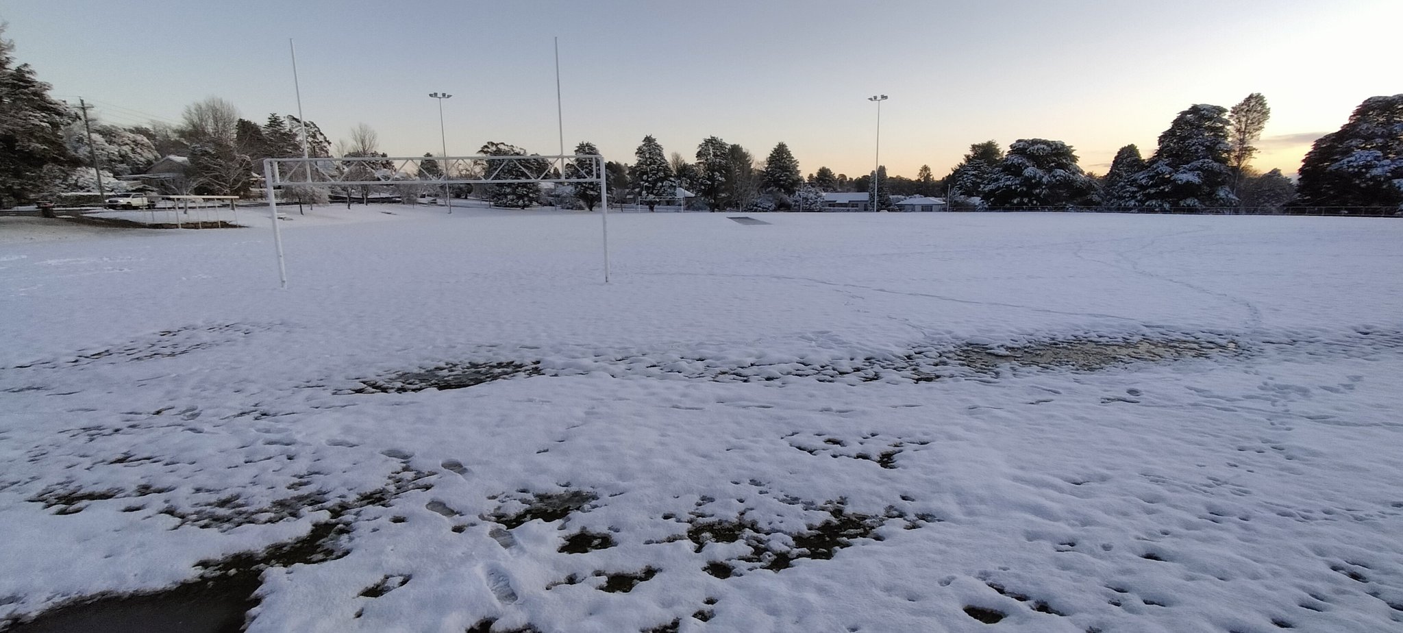
Image: Blackheath, NSW on Wednesday morning. Source: @BlackheathWX / Twitter
The black ice and most of the snow will slowly melt as temperatures rise on Wednesday, bringing an end to the best snowfall of the season in central NSW.
Weatherzone provides operational forecasts which include snow and ice potentia, which is supported by meteorologist briefings and advice, for more information, please contact us at apac.sales@dtn.com.




