Prosper in a dynamic world
Search

April snow for Tassie Hydro


Snow could be seen atop kunanyi / Mount Wellington on Thursday morning as Hobart shivered through its second coldest morning so far this year.

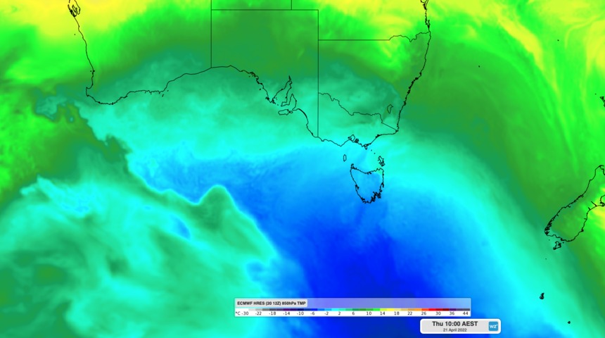
A pair of cold fronts crossing southeastern Australia during the last two days dragged a large mass of frigid Southern Ocean air across southeastern Australia.

This burst of wintry weather saw the temperature drop to 7.4ºC in Hobart on Thursday morning, which is two below average for this time of year. It is also the city’s second coldest morning so far this year, behind 6.9ºC on March 9.

The peak of nearby kunanyi / Mount Wellington managed to plunge below zero overnight and reached a low of minus 1.6ºC early on Thursday morning, making it the coldest place in Australia on April 21. This was easily cold enough for a couple of centimetres of overnight snow, which made for a wintry backdrop as the sun rose above Hobart on Thursday.

Image: Sunrise in Hobart revealed a dusting of snow on kunanyi / Mount Wellington on Thursday morning. Source: @katypotaty77 / Instagram.

It was also cold enough for a dusting of snow in the state’s central and western highlands on Wednesday night into Thursday morning, where Liawenee reached 0.2ºC and Mount Read hit 0.1ºC.

Snow in Tasmania is not unusual in April. While the bulk of the state’s annual snowfall occurs in and around winter, it can snow in the state’s mountains and central highlands at any time of year, even summer.

The mercury will only reach about 14ºC in Hobart on Thursday afternoon, which is three below average, before maximum temperatures climb back to the high teens from Saturday. Minimum temperatures are forecast to reach 7 to 8ºC during the next two nights before warming up by a few degrees from the weekend.

Looking ahead, this could be the last snow-bearing system for Tasmania this April. Most forecast models suggest that the next decent cold front will reach the state in early-May. For snow season and winter forecasts, please contact us at apac.sales@dtn.com.

Latest news

Satisfy your weather obsession with these news headlines from around the nation, and the world.

El Niño Is Here: What a Potential Record Event Means for Southeast Asia and Australia

  El Niño was officially declared in June 2026, raising the prospect of widespread impacts across Southeast Asia, from extreme heat and water shortages to higher energy demand and agricultural stress.   The World Meteorological Organization has warned countries to “prepare for it to be severe”, while several global forecast models suggest the event could rank among […]

How El Niño will shape Australian port operations in winter-spring 2026

Australian ports and marine pilots can expect a season of shifting wind and swell patterns through winter and spring 2026, as a developing El Niño brings the likelihood of drier conditions and more variable operating windows across the country’s coastline.  Will El Niño develop in 2026?  There are clear signs that an El Niño pattern is becoming […]

From Kimberley to northern NSW: Bushfire outlook flags risk for resources sector this winter

Bushfire risk doesn’t usually make headlines in June, but AFAC’s winter seasonal outlook is putting mining and resources operators on alert from the Kimberley to the NSW.  Australia’s official seasonal bushfire outlook for winter 2026 was released by AFAC on Thursday, May 28. The outlook predicts increased fire risk across the northern parts of the Great Sandy Desert and surrounds […]

The signal was there weeks earlier: forecasting one of the year’s biggest wind events

In mid-May 2026, DTN APAC meteorologists flagged a strengthening Southern Ocean pattern in model guidance, signalling an extended run of record-challenging wind conditions across the NEM.  Nearly three weeks later, NEM wind generation climbed from around 1.5GW to more than 9GW, supplying roughly one-third of the grid and coming within 1GW of the all-time generation record.  The event highlighted […]