
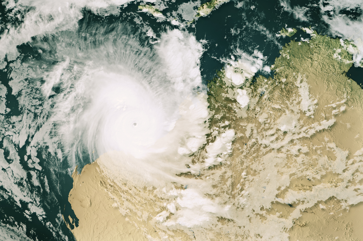
Tropical Cyclone Tiffany has made landfall over far north QLD and will soon be setting its sights on Groote Eylandt and the NT’s Top End.
Tiffany became the fourth tropical cyclone to form in Australia’s area of responsibility when it was formed over the Coral Sea on Sunday afternoon.
By 7am AEST on Monday, Tiffany had strengthened into a category two tropical cyclone and was located close to the eastern tropical coast of QLD. A few hours later, it crossed the coast to the west of Cape Melville as a category two system, generating wind gusts of around 130 km/h near its core.

Image: Enhanced visible/infrared satellite image showing the location of Tropical Cyclone Tiffany at 9am AEST on Monday, January 10.
Tiffany is the first tropical cyclone to make landfall on the Australian mainland so far this season. This is close to the long-term average date for Australia’s first landfalling cyclone.
Tropical Cyclone Tiffany is likely to carry heavy rain, thunderstorms and squally winds across Cape Yorke Peninsula as it continues to move towards the west on Monday night into Sunday morning.
Tiffany will lose some strength as it traverses Cape Yorke Peninsula, however, its brief journey over land won’t be enough to stop this cyclone.
Forecast models suggest that Tropical Cyclone Tiffany will re-intensify as it moves over warm water in the Gulf of Carpentaria. On the latest model guidance, Tiffany could become a category two tropical cyclone over the Gulf on Tuesday and possible a high-end category two or low-end category three cyclone near Groote Eylandt by Wednesday.
At this stage, Tiffany could hit Groote Eylandt as a strong category two cyclone on Wednesday. It may even become the first severe tropical cyclone (category three or above) to cross Groote Eylandt in records dating back to 1969.
Category three tropical cyclones produce sustained wind speeds above 118km/h and gusts in excess of 165 km/h. These very destructive winds are capable of bringing trees and power lines, causing roof and structural damage and leaving communities without power.
After crossing Groote Eylandt, Tiffany is expected to move over the eastern Top End and weaken into a low-pressure system over the NT on Thursday and Friday. However, even as a weakening low-pressure system, the remnants of Tiffany will produce dangerous amounts of rainfall.
The future path of tropical cyclone Tiffany will cause heavy rain to spread across a broad area of northern QLD and the NT during the next five to six days. Even Darwin should see some rain associated with, but not directly from, this system.
Accumulated rainfall totals of 150 to 250mm are possible in parts of northern QLD and the NT, with isolated totals possible exceeding 350mm.

Image: Forecast five-day accumulated rain between Monday and Friday, according to the ECMWF-HRES model.
Heavy rain and flooding may be exacerbated over the NT’s northern inland if the weakening remnants of Tiffany become slow-moving. This could see multi-day accumulated totals exceeding 500mm, which would be enough to cause prolonged and widespread flooding and may cut off roads and isolate communities for lengthy periods of time.
Weatherzone will continue to monitor Tropical Cyclone Tiffany closely over the coming week and bring daily updates on its development. Be sure to check the latest warnings and forecasts for the most up to date information if you live in northern QLD or the NT. For more information on Weatherzone’ tropical cyclone forecasts and risk analysis, please contact us at apac.sales@dtn.com.




