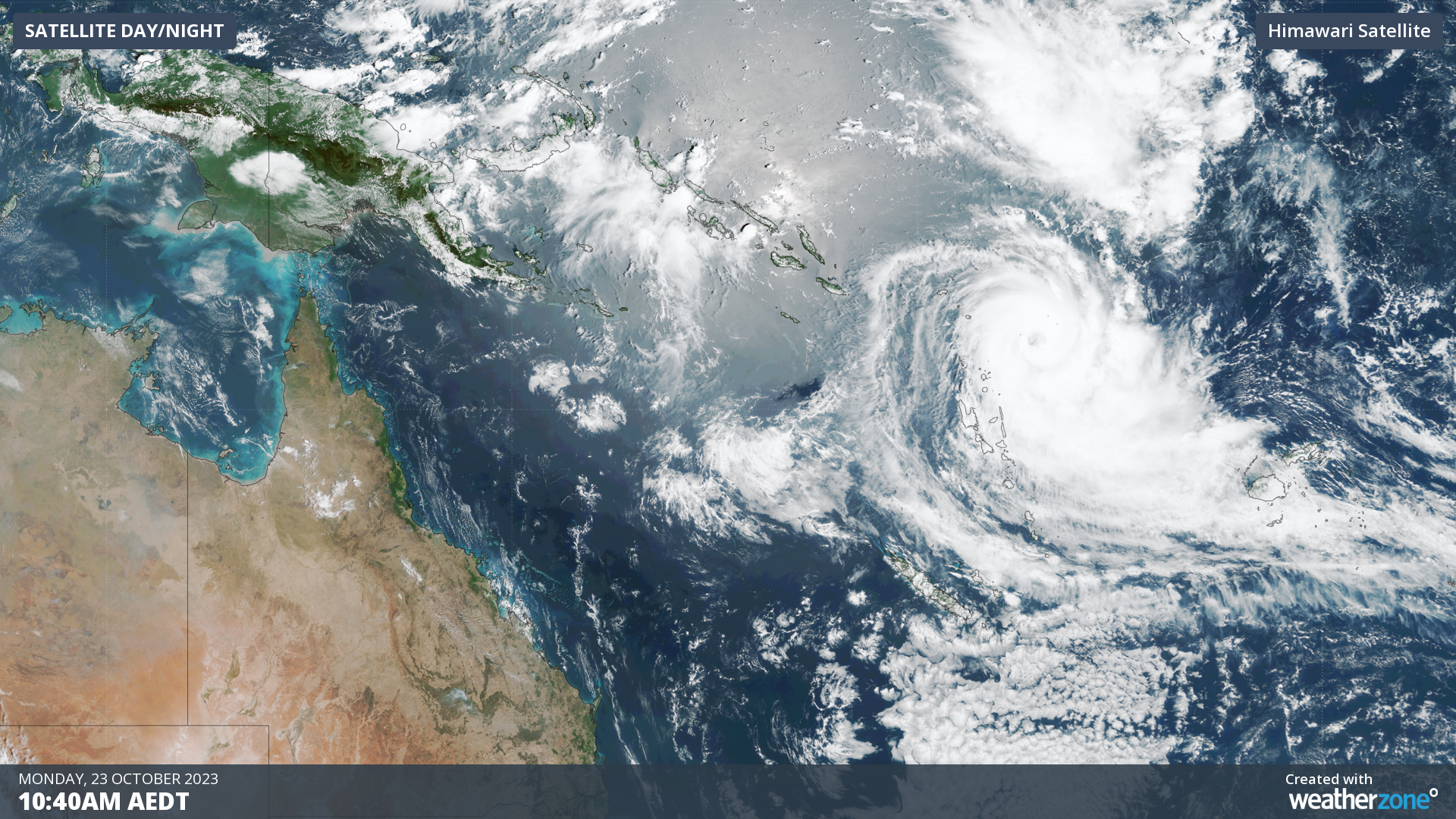
The first tropical cyclone to form near the Australian region this season is about to unleash a burst of severe weather in Vanuatu.
Tropical Cyclone Lola formed to the northeast of Vanuatu on Sunday. As it developed outside the eastern boundary of Australia’s area of responsibility, Lola was named by the Fiji Meteorological Service.
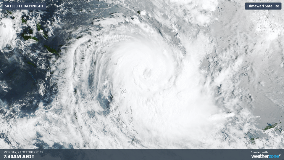
Lola has gained strength over the last 24 hours and was up to category two strength as of 5:00 am AEDT on Monday, October 23 (1800 UTC on October 22), and had become a dangerous category three storm by mid-afternoon.
The Fiji Met Service predicts that Lola will become a category four severe tropical cyclone later on Monday as it turns towards the southwest and heads towards Vanuatu.
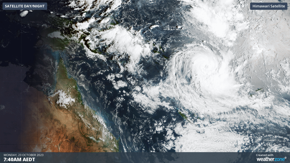
While there is some uncertainty with Lola’s future track, models suggest it will hit Vanuatu as a category three system on Tuesday into Wednesday. According to the Vanuatu Meteorology and Geohazards Department, destructive winds, heavy rain, flooding and rough seas are likely to impact parts of Vanuatu between today and Wednesday.
After crossing Vanuatu, Lola is expected to weaken as it tracks towards New Caledonia on Wednesday and Thursday. The system should continue moving towards the south or southeast later in the week.
There have only been two out-of-season Cat 4 or Cat 5 tropical cyclones in the southern Pacific since 1970: Donna in May 2017 and Xavier in Oct 2006.
Will it affect Australia?
Cyclone Lola will most likely stay outside of Australia’s area of responsibility as it moves towards the south in the coming days. Forecast models suggest that its core will remain at least 1,200 km away from the Australian mainland, far enough to prevent it from having any direct impact on Australia.
Lola is a sign that the Southern Hemisphere’s tropics are waking up after winter, with Australia’s 2023-24 tropical cyclone season officially kicking off on November 1.
The first tropical cyclone to form in Australia’s area of responsibility this season will be named Jasper.
For more information about our tropical cyclone forecasts and alerting, please contact us at apac.sales@dtn.com


