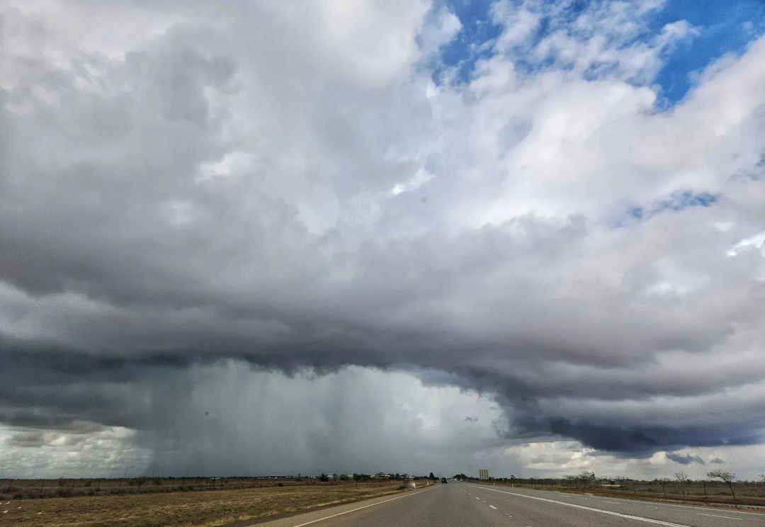
Port Hedland received a quick deluge on Sunday afternoon after a pair of thunderstorms converged over the region.
Port Hedland picked up 45mm in the rain gauge, including 11mm in 10 minutes at about 2:30pm WST on Sunday afternoon. This was its heaviest January rain in 9 years, and its wettest day in 8 months.
Just under 14,000 lightning flashes were detected by the Total Lightning Network (WZTLN) within 50km of the town, with 2039 lightning strikes hitting the ground.
While thunderstorms are common for the area at this time of year (being the wet season), this particular thunderstorm had some interesting dynamics behind it.
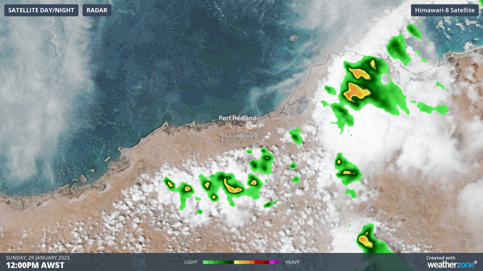
Image: Radar and Satellite over Port Hedland on Sunday afternoon showing how two lines of showers and storms met over the town
The above gif shows how two convergence lines (highlighted by a line of cloud and spots of precipitation) intersected just southeast of Port Hedland. This then created a new line of thunderstorms perpendicular to the previous systems, which funnelled the moisture and instability over the region.
Another thing to notice is there is a blank hole in the radar as the storm cross the town, shown below.
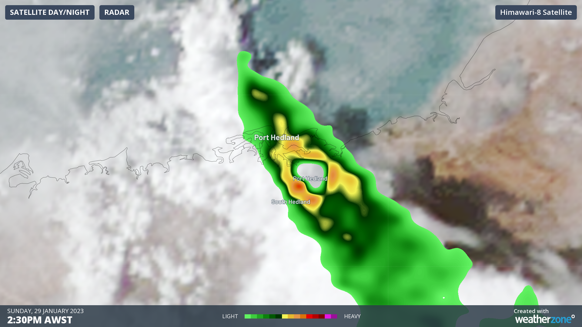
The lack of a radar signal is something known as the ‘cone of silence’, referring to how radars cannot scan above themselves. In this case, the Port Hedland radar is perfectly in the centre of this hole and can only see the rainfall at least a few kilometres away from it. We can be sure that rain was falling at this time as the official rain gauge that recorded the 45mm is right next to the radar.
Thunderstorms are a possibility for Port Hedland for most days over the week as tropical moisture meets some hot temperatures, all drawn in by a trough. You can view the forecast for Port Hedland here.
DTN APAC uses the WZTLN to provide lightning alerts when storms are near your assets. This starts a simple countdown procedure that makes sure employees know when a storm is nearby and when it is safe to return to work. This keeps expensive downtime to a minimum without sacrificing safety. To find out more about how the WZTLN can help your business, please email us at apac.sales@dtn.com.


