
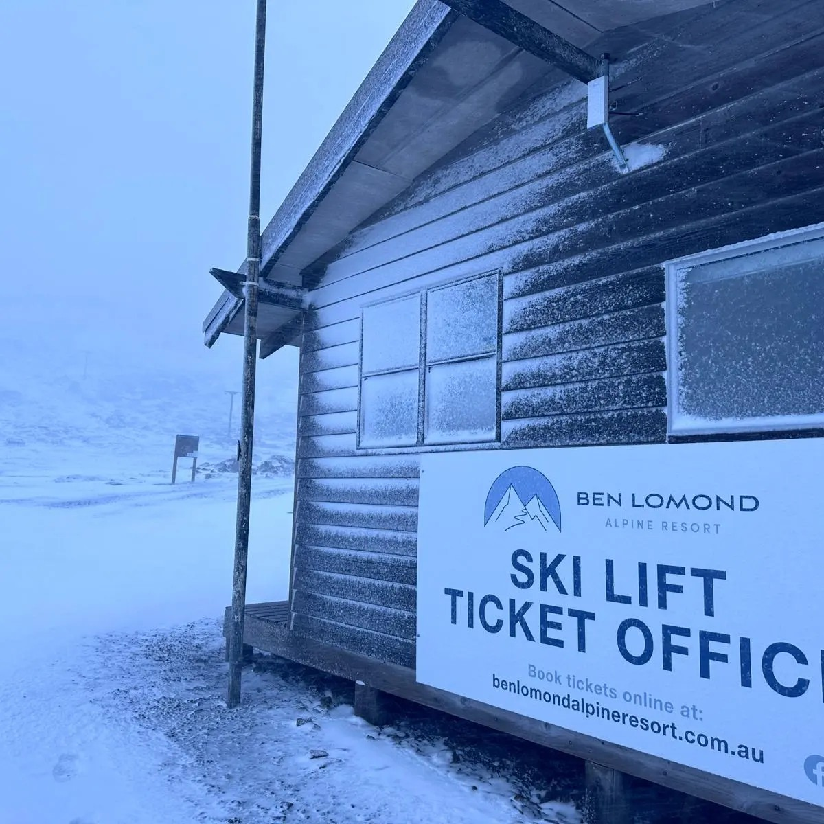
Snow has fallen in Tasmania, while Melbourne has experienced a dramatic temperature drop as a cold front whipped through Tasmania and southern Victoria overnight.
This was the Wednesday morning scene on the slopes of Ben Lomond, Tasmania’s only commercial ski resort, about an hour out of Launceston. Not enough snow for skiing, but the cafe was open for anyone venturing up there to throw a snowball.
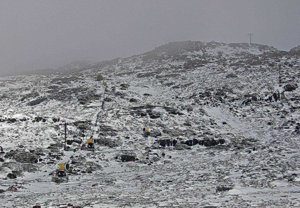
Image: Source: Benlomondalpineresort.com.au.
Interestingly, there was much lighter snow recorded on kunanyi/Mt Wellington above Hobart, where most of the moisture fell as rain before colder air arrived.
Ben Lomond also did better out of this system than southern Tasmania mountains as there were heavier precipitation totals overall in the northeast of state, as the chart below shows.
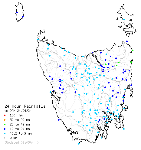
Image: Ben Lomond is located near the green dots in the state’s northeast. Source: BoM.
Meanwhile Melbourne experienced a dramatic temperature drop late on Tuesday evening, after Tuesday was its warmest day to date in April 2024 with a top of 25.3°C.
The orange line on the chart below illustrates that, with Wednesday’s maximum likely to be around nine or 10 degrees cooler than Tuesday’s.

Because this cold front only just clipped the southern tip of mainland Australia, you won’t see showers or cold maximum temps recorded too far north of southern Vic this Wednesday.
For example, Canberra will often have a maximum in single digits on midwinter days when cold fronts push northwards across SE Australia, but today, the national capital is heading for 21°C and had already passed 19°C just after 10 am.
There’s not much snow for the mainland mountains either. Mainland Australia’s most southerly ski resort Mt Baw Baw received 25.4 mm of rain to 9 am, much of it in the early morning when temps were around one or two degrees, which was just a little too warm for snow.
A few flakes may fall further north at the higher Victorian resorts during the day, but it probably won’t be enough to turn the ground white.
READ MORE: DEVILISHLY DRY IN TASMANIA
Meanwhile cooler, dryer air in the wake of this front will push its way across the southeast, making for a string of cold nights ahead, including a chilly start to Anzac Day for those attending the dawn service.
The mercury in Sydney should reach the mid-twenties on Wednesday, especially if the current high cloud clears, with a temperature drop in the afternoon as cooler southerly winds arrive.
Weatherzone Business has grown to become the outright leader within the Australian energy market, serving wind, solar, hydro, trading, utilities and network companies.
You can’t control the weather, but you can gain precision insights to optimise your response. What lights us up is providing your energy business with tailored weather information to reduce your risk and keep you moving ahead of the curve.
Our services cover all aspects – from wind and solar generation to demand forecasts, wholesale markets to retail so, no matter where your company sits, we have solutions for you. We have worked closely with market participants to create products that meet the evolving needs of the sector, aiming to increase safety and profitability for our customers.
Benefit from the timely delivery of accurate weather information, allowing informed and effective decision-making. For more information, please contact us at apac.sales@dtn.com.




