Brisbane is about to see a four-day streak of warm minimums, with thick cloud and rain setting in over the city.
The spring-like overnight temperatures are being caused by a thick layer of cloud acting as a blanket overnight, trapping the day’s warmth in.
The days of cloud and rain are being driven by an upper-level low pressure system and associated surface coastal troughs in the region during the next three to four days.
The images below show thick cloud and rain encompassing the eastern half of Qld on Monday afternoon.
Image: Himawari-9 satellite image at 9:30am Monday, August 12.
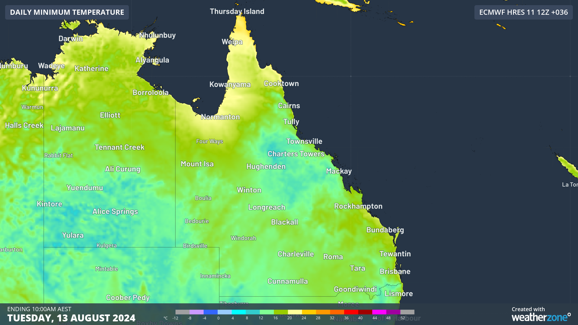
Thick cloud and rain will continue to impact eastern Qld for the next four days and nights, bringing warm nights, but cold days.
Brisbane is forecast to see four consecutive nights above 16°C between Monday and Friday this week, which the city hasn’t seen this early in August since records began in 1887.
There has only been one occasion on record in which the city has seen a four-day streak like this in August, back nine years ago in 2015 between August 22 and 25.
To put it in perspective, the forecast minimum temperatures of 16 to 17°C are around 5 to 6°C above the August average. The warm overnight minimums should reduce energy demand in the state.
Meanwhile, daytime temperatures should be around 1 to 3°C below average, with thick cloud and rain preventing daytime heating.
The cloud is also reducing solar output across Qld on Monday morning, with generation halved on Monday compared to Sunday.

Image: Total solar contribution to generation in Qld (MW), with the two red lines showing 11am on Sunday and Monday respectively, August 12. Source: OpenNEM
Looking ahead, a burst of spring-like warmth is forecast later this week ahead of a cold front.
Brisbane’s temperature is likely to peak at 28°C on Saturday, August 17, while the mornings should drop to around 14 to 15°C. The sun should return by the weekend, increasing rooftop solar output once again in the city.
Weatherzone Business has grown to become the outright leader within the Australian energy market, serving wind, solar, hydro, trading, utilities and network companies.
You can’t control the weather, but you can gain precision insights to optimise your response. What lights us up is providing your energy business with tailored weather information to reduce your risk and keep you moving ahead of the curve.
Our services cover all aspects – from wind and solar generation to demand forecasts, wholesale markets to retail so, no matter where your company sits, we have solutions for you. We have worked closely with market participants to create products that meet the evolving needs of the sector, aiming to increase safety and profitability for our customers.
Benefit from the timely delivery of accurate weather information, allowing informed and effective decision-making.
To find out more visit our contact page or email us at apac.sales@dtn.com.


