Prosper in a dynamic world
Search

Polar blast delivers heavy snow to the Aussie alps


A polar blast has taken place this year for the NSW alps, thanks to a moist easterly air stream wrapping around an East Coast Low and icy temperatures. In fact, the snow level dropped down to about 700 metres above sea level in southern NSW today, with snow falling well down the mountains, as well as the peaks. 

Perisher and Thredbo observed 5-10cm of fresh snow overnight last night into this morning (figure 1). While another 10-20cm has fallen up until mid-afternoon today at Perisher and Thredbo.

Polar blast delivers heavy snow to the Aussie alps


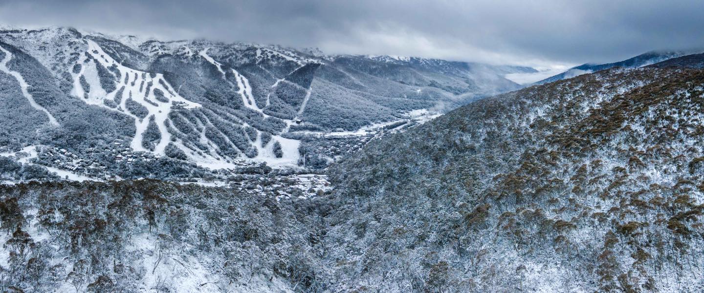
Figure 1: Snowfall at Thredbo Wednesday morning, Credit: Thredbo Resort

Heavy snow is expected to continue tonight, as moisture laden air continues to stream over the alps. During the next 24 hours another 10-20cm of snow could fall. The snowfall is expected to ease on Thursday, as the moist easterly winds shift to the south. 

The snow is forecast to pick up again from Friday, as the East Coast Low nears the southern NSW coastline. During Friday and Saturday, an additional 5-10cm is forecast each day, likely easing by Sunday. 

The event in total could see between 30-50cm of snow, leading to a very healthy snowpack for the hydro lake levels after the snow melts. As well as ensuring an epic start to the NSW resort ski season. 

We will be keeping a close eye on the horizon here at Weatherzone, with our 14-day snowfall forecasts and seasonal forecasting. For more information, please contact us at apac.sales@dtn.com. 

Latest news

Satisfy your weather obsession with these news headlines from around the nation, and the world.

El Niño Is Here: What a Potential Record Event Means for Southeast Asia and Australia

  El Niño was officially declared in June 2026, raising the prospect of widespread impacts across Southeast Asia, from extreme heat and water shortages to higher energy demand and agricultural stress.   The World Meteorological Organization has warned countries to “prepare for it to be severe”, while several global forecast models suggest the event could rank among […]

How El Niño will shape Australian port operations in winter-spring 2026

Australian ports and marine pilots can expect a season of shifting wind and swell patterns through winter and spring 2026, as a developing El Niño brings the likelihood of drier conditions and more variable operating windows across the country’s coastline.  Will El Niño develop in 2026?  There are clear signs that an El Niño pattern is becoming […]

From Kimberley to northern NSW: Bushfire outlook flags risk for resources sector this winter

Bushfire risk doesn’t usually make headlines in June, but AFAC’s winter seasonal outlook is putting mining and resources operators on alert from the Kimberley to the NSW.  Australia’s official seasonal bushfire outlook for winter 2026 was released by AFAC on Thursday, May 28. The outlook predicts increased fire risk across the northern parts of the Great Sandy Desert and surrounds […]

The signal was there weeks earlier: forecasting one of the year’s biggest wind events

In mid-May 2026, DTN APAC meteorologists flagged a strengthening Southern Ocean pattern in model guidance, signalling an extended run of record-challenging wind conditions across the NEM.  Nearly three weeks later, NEM wind generation climbed from around 1.5GW to more than 9GW, supplying roughly one-third of the grid and coming within 1GW of the all-time generation record.  The event highlighted […]