Prosper in a dynamic world
Search

Heavy rain to hit Tassie hydro lakes 


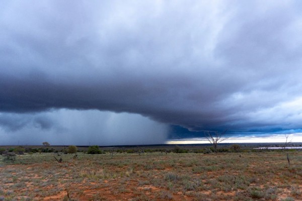
A burst of heavy rain will soak Tasmania during the middle of this week, with potential falls in excess of 200 mm expected to cause flooding in the state’s north. 

A low pressure trough carrying copious moisture down from the tropics will drive thick clouds and heavy rain over Tasmania between Wednesday and Friday this week. 

This surge of wet weather will dampen the entire state, although the heaviest rain is likely to occur in the northern hydro lakes, where onshore winds will produce persistent rain between Wednesday afternoon and Friday morning. 

A number of forecast models suggest that accumulated falls of 150 to 250 mm are possible in northern Tasmania between Wednesday and Friday, most of which will be falling on Wednesday night and Thursday. The forecast rain is very heavy for this region and is likely to cause increased streamflow and flooding. 

 nwp-pcp-ecmwf-hres-060_au-tas_1920x1080

Image: Forecast accumulated rain during the 60 hours ending at 11am AEDT on Friday, October 14, according to the ECMWF-HRES model. 

The rain piling in from the north is significant because it will be much warmer than the typical rain associated with cold fronts. This means snow will be melting rather than falling over the highlands, leading to a further increase in runoff into the hydro lakes. 

The below graph shows the predicted 7-day streamflow for the Forth River in the state’s northwest. The red box on Friday, October 14 shows just how significant this rain event could be. 

450_hourly_barplot_ens

Image: 7-day streamflow forecast for the Forth River. Source: BoM 

Rain will be lighter in southern Tasmania over the next few days, although Hobart could still see around 15 to 35mm between Wednesday and Friday. 

Hydro operators can more accurately predict hydro plant output and manage water flows through accurate long-term catchment rainfall and snowfall forecasts.  

Rainfall forecasts from one hour to one year ahead are crucial for effective management of hydro assets. For more information on these services, please contact us at apac.sales@dtn.com. 

Latest news

Satisfy your weather obsession with these news headlines from around the nation, and the world.

Australia’s 2025–26 Cyclone Season: Slightly Above Average, Dominated by Severe Systems

Australia has just experienced a highly impactful tropical cyclone season, with more than 60% of systems reaching severe intensity, causing widespread disruption and damage to communities and multiple industries across northern Australia.  The 2025–26 Australian tropical cyclone season officially ran from 1 November 2025 to 30 April 2026. During this six-month period, Australia saw 11 tropical cyclones, with nine […]

What does a ‘super El Niño’ mean for Australia’s businesses?

There are signs that a very strong, or ‘super’ El Niño could develop in the tropical Pacific Ocean later this year. So, what does this mean for Australia’s weather during the second half of 2026? El Niño on the horizon The tropical Pacific Ocean is currently in a neutral state, meaning neither El Niño nor […]

How does DTN help businesses monitor bushfire induced pyrocumulonimbus thunderstorms that ignite more fires?

Intense heat from bushfires during elevated fire danger days can trigger fire-induced pyrocumulonimbus thunderstorms that ignite additional fires. In early January 2026, an extreme heatwave sweeping over southeastern Australia brought catastrophic fire danger to Victoria. Intensely hot bush and grass fires spread erratically and quickly in hot, dry and gusty winds, with pyrocumulonimbus generating lightning, […]

Active seas to the north and east of Australia disrupting port and maritime operations

Seas to the north and east of Australia are experiencing periods of increased activity this week, leading to disruptions to port, maritime and offshore operations. Intense and hazardous Tasman Sea Ocean conditions across NSW’s South Coast rapidly deteriorated last Friday as a deep feed of easterly winds whipped up large and dangerous seas. The Batemans […]