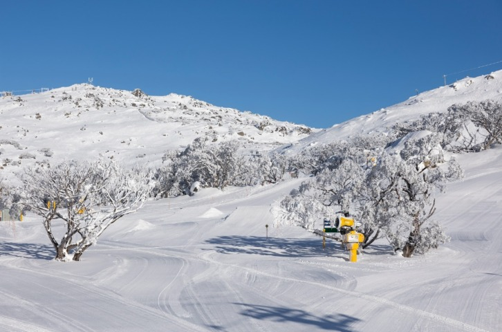
Freezing cold temperatures this week in Australia’s alpine areas created ideal conditions for snowmaking – the process by which a mixture of water and compressed air is pumped out into the chilly mountain air to form ice crystals that are as close as you can get to real snow.
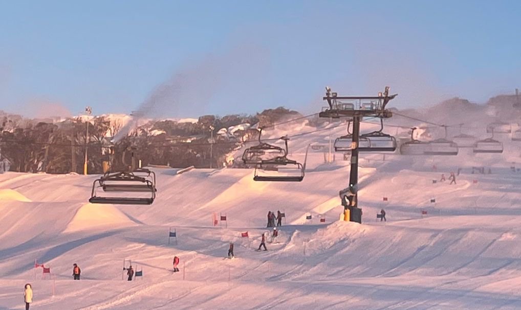
Image: Never eat yellow snow, but pink snow in the early morning at Perisher is OK! Source: Normo via ski.com.au.
As for natural snowfalls, the news is not so great.
Let’s start with the glass half full version of events: the snow depth at Spencers Creek in NSW – roughly halfway between the two highest Australian ski resorts of Perisher and Thredbo – has just been measured at 59.1 cm.
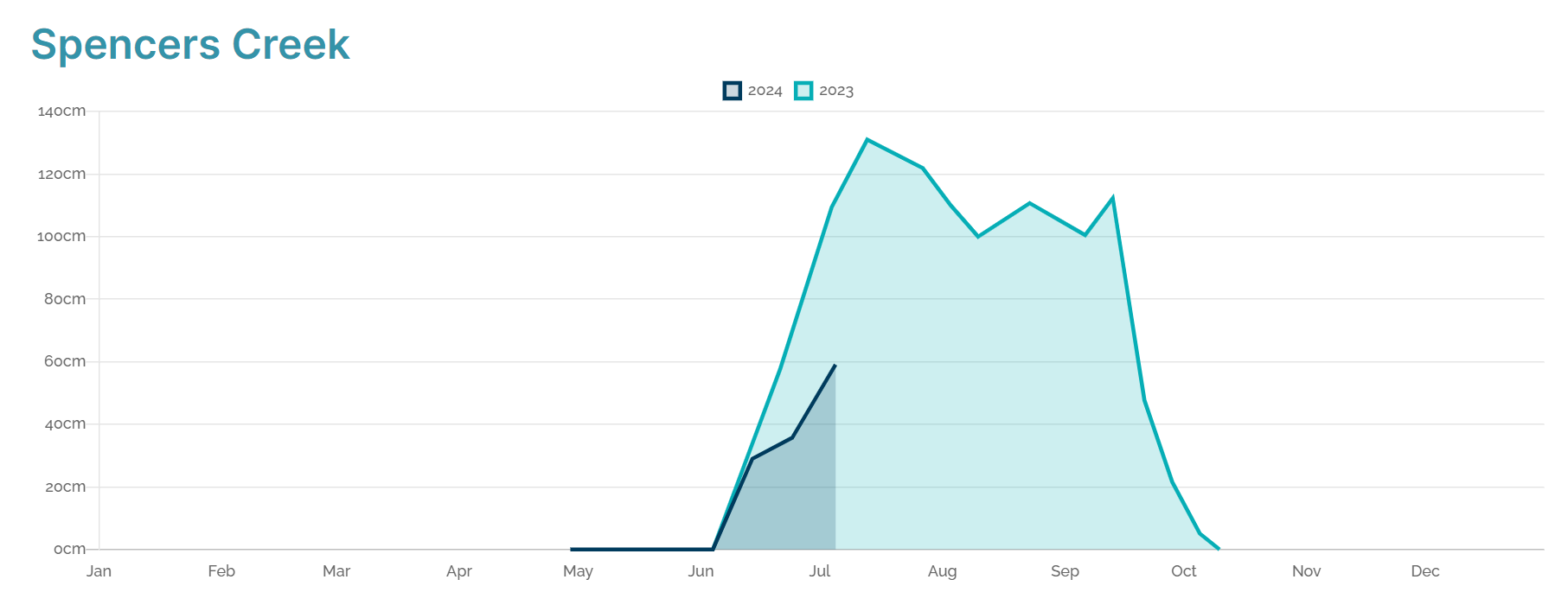
Source: Snowy Hydro.
That’s not great for this time of year, and indeed it pales in comparison even to this time last year. Bear in mind that the 2023 season was not a great one either, although it peaked early and then fell away pretty badly as warm, dry conditions (by winter standards) prevailed.
But the good news is that 59.1 cm is still something, and has enabled three of the four NSW resorts (Thredbo, Perisher and Charlotte Pass) to open terrain away from snowmaking areas, while the fourth (Selwyn) is still struggling along with just snowmaking slopes for beginners.
In Victoria where the resorts sit at slightly lower elevations, the snowpack is not quite as deep.
The chills continue -6°C this morning at #Hotham. Fantastic #skiing & #snowboarding on the groomers. Enjoy! pic.twitter.com/ya93Xh9LiF
— Hotham (@_hotham) July 3, 2024
Hotham is leading the way with 42 cm, Falls Creek has a natural base of 33 cm away from snowmaking areas, Mt Buller has 17 cm (albeit only on its shaded south-facing slopes), while Mount Baw Baw is claiming “30 cm on its runs”. This figure appears to includes snowmaking.
So the picture is not ideal overall with the NSW public school holidays upon us and the Victorian public school holidays already in full swing, but at least most resorts have about half of their lifts running.
The good news is that there are promising signs of snowy weather on the horizon for next week.
A large, intensely strong high pressure system has been centred just south of mainland Australia for all of this week, but it has finally decided to get off the couch and will head off towards the Tasman Sea by Monday. This will open the door for frontal activity from the west.
The period around next Friday, July 12, looks most promising at this stage with the possibility of some very cold polar air pushing northward into SE Australia by the weekend. As ever, click the links on the ski resorts above for the latest conditions, and keep checking the Weatherzone snow page for the latest forecasts and more.
Using Opticast’s nowcasting and forecasting capabilities, you will have long-term outlook covering rainfall and extreme heat events out to 12 months. This can significantly improve your planning as you integrate the data with site-specific hydrological parameters.
With renewables making up more of Australia’s energy mix every year, we want to support your business to make informed critical decisions and improve your overall generation and safety.To find out more, please visit our contact page or email us at apac.sales@dtn.com.


